Old Maps of Willing, New York for Hiking & Exploration
Hike through history with 38 historic maps of Willing. Explore old trails, ghost towns, and forgotten backroads — perfect for outdoor adventurers and local explorers.
- Rediscover forgotten places: Map out old mining camps, roads, and footpaths that no longer exist on modern maps.
- Layer with modern tools: Combine with LiDAR or satellite views to plan hikes through historical terrain.
- Made for exploration: Popular among hikers, overlanders, and local history lovers.
Use these maps to find adventure and explore the hidden past of Willing.
Willing, NY maps
(38)- 1926 Map of Wellsville
 1926 Wellsville1926 Print · USGSAllegany County's southern reaches appear here in the mid-1920s as a hub of river-valley commerce and upland farming. Genealogists can trace early homesteads near Irish Settlement, Stannards Corners, and numerous rural schools like Ford Brook School.5 unique versions available
 - 1932 Map of Genesee, 1961 Print
 1932 Genesee1961 Print · USGSNorthern Pennsylvania’s high plateau is captured here in the early thirties, showing the transition from timber-hauling rail lines to mountain highways. Genealogists can locate family names at Andrews Settlement, the Sweden Hill Cem, or the Ice Mine.
 - 1937 Map of Genesee
 1937 Genesee1937 Print · USGSPotter County’s high plateau is captured in the 1930s when the headwaters of the Allegheny River and Genesee River met a complex network of mountain railroads. Genealogists can locate family landmarks like Sweden Hill Cem, the Ice Mine, and numerous district schools including Judd Sch.3 unique versions available
 - 1950 Map of Elmira
 1950 Elmira1950 Print · USGSThe Finger Lakes region thrived in the late 1940s as a hub of industry and transport. Trace family roots and vanished landmarks near Seneca Lake or explore the rail lines of the Erie RR and the sprawling Seneca Ordnance Depot.2 unique versions available
 - 1954 Map of Williamsport
 1954 Williamsport1954 Print · USGSNorth-central Pennsylvania in the mid-fifties is defined by the winding West Branch Susquehanna River and its industrial valley. Local historians can trace the massive Susquehanna Ordnance Depot and the extensive rail networks of the Pennsylvania Railroad.
 - 1958 Map of Elmira
 1958 Elmira1958 Print · USGSThe New York Finger Lakes during the late fifties reveal a complex landscape of glacial geology and industrial growth. Researchers can trace historic transport corridors like the Erie Canal and Erie RR, or locate institutional landmarks like Cornell University.2 unique versions available
 - 1960 Map of Williamsport
 1960 Williamsport1960 Print · USGSNorth-central Pennsylvania in the mid-twentieth century was a vital corridor of rail and river industry stretching from the New York line to the coal regions. Genealogists can trace the rail networks of the Pennsylvania RR and Lehigh Valley RR connecting towns like Williamsport, Towanda, and Lock Haven.
 - 1962 Map of Williamsport, 1966 Print
 1962 Williamsport1966 Print · USGSNorth-central Pennsylvania was a landscape of industrial river hubs and vast state woodlands in the early sixties. Researchers can trace the path of the Pennsylvania Railroad through Williamsport and explore the remote reaches of Bucktail State Park.5 unique versions available
 - 1962 Map of Elmira, 1969 Print
 1962 Elmira1969 Print · USGSThe Finger Lakes region and Southern Tier are captured here during a period of industrial maturity and highway expansion. Researchers can trace the path of the Erie Canal, the footprint of the Seneca Army Depot, and legacy rail lines through Elmira and Ithaca.4 unique versions available
 - 1965 Map of Elmira
 1965 Elmira1965 Print · USGSThe Finger Lakes and Southern Tier regions are captured in the mid-sixties, showcasing a landscape of deep glacial valleys and heavy rail infrastructure. Trace old railroad corridors like the Pennsylvania RR or visit landmarks like Letchworth State Park and the Seneca Army Depot.
 - 1965 Map of Williamsport
 1965 Williamsport1965 Print · USGSNorth-central Pennsylvania in the mid-1960s is defined by the industrial river towns and vast timberlands of the Allegheny Plateau. Researchers can trace historic rail lines like the Erie Lackawanna and Reading as they thread through Williamsport, Lock Haven, and Jersey Shore.
 - 1965 Map of Whitesville, 1966 Print
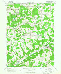 1965 Whitesville1966 Print · USGSAllegany County near the Pennsylvania border is shown here as a center of energy production in the mid-sixties. Genealogists and researchers can locate family-named features like Beech Hill Cem and trace old crossroads at Whitesville, Hallsport, and Spring Mills.2 unique versions available
 - 1965 Map of Wellsville South, 1967 Print
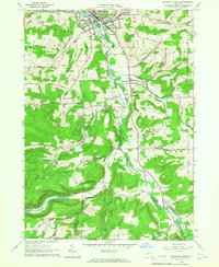 1965 Wellsville South1967 Print · USGSThe Genesee River valley in the mid-sixties reveals a landscape of oil production and rural New York life. Genealogists can trace family landmarks like Johnson Cem or follow the Erie-Lackawanna rail line through Wellsville and Stannards.2 unique versions available
 - 1966 Map of Williamsport
 1966 Williamsport1966 Print · USGSThe Susquehanna Valley was a hub of transit and industry in the mid-seventies, where the river's West Branch connected major college towns and timberlands. Researchers can trace historical rail lines like the Reading or locate regional landmarks from Jersey Shore to Ricketts Glen State Park.
 - 1969 Map of Ellisburg, 1972 Print
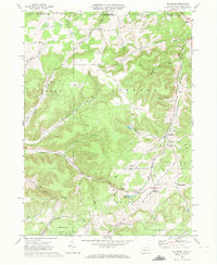 1969 Ellisburg1972 Print · USGSPotter County, Pennsylvania, is shown during the late sixties as an active hub for the regional energy industry. Genealogists and historians can trace family locations near Andrews Settlement, the path of the Old Oswayo Railroad Grade, and Rose Lake.3 unique versions available
 - 1969 Map of Ulysses, 1972 Print
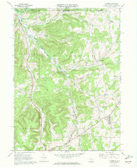 1969 Ulysses1972 Print · USGSPotter County at the end of the sixties shows a landscape of river-fed valleys and energy infrastructure. Trace local history through North Bingham Cem, the Hickox Landing Field, and old transport routes like Pusher Siding.2 unique versions available
 - 1981 Map of Wellsboro, 1982 Print
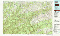 1981 Wellsboro1982 Print · USGSNorthern Pennsylvania in the early eighties shows a landscape of deep river gorges and vast state forests. Trace the rail lines of Conrail and explore old settlements from Coudersport to the Pine Creek Gorge.
 - 1986 Map of Hornell
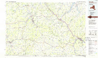 1986 Hornell1986 Print · USGSThe Southern Tier and Finger Lakes region thrive in the 1980s as rail and river corridors link Hornell to Corning. Trace local heritage through landmarks like Alfred University, the Veterans Adm Center, and the shores of Keuka Lake.2 unique versions available
 - 2010 Map of Whitesville, 2010 Print
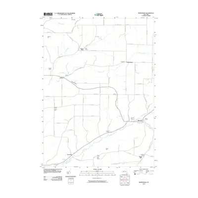 2010 Whitesville2010 Print · USGSSouthern Allegany County is captured here in the early twenty-first century, showing the rural communities along the Pennsylvania border. Family historians can locate numerous burial sites like Whitesville Rural Cemetery and Pioneer Cemetery near Chenunda Creek.
 - 2010 Map of Wellsville South, 2010 Print
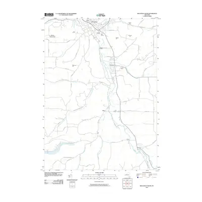 2010 Wellsville South2010 Print · USGSAllegany County's southern river valleys and upland hills come into focus in this late-era survey of the Genesee River corridor. Genealogists and local historians can trace family plots at Sacred Heart Cemetery or locate the rural crossroads of Stannards and Mapes.
 - 2010 Map of Ulysses, 2010 Print
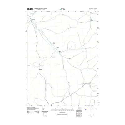 2010 Ulysses2010 Print · USGSThe upper Genesee River valley in the early twenty-first century is a landscape of valley-bottom hamlets and upland hollows. Genealogists and local historians can trace family locations through North Bingham Cemetery and established centers like Ulysses and Kibbeville Corners.
 - 2010 Map of Ellisburg, 2010 Print
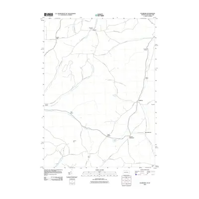 2010 Ellisburg2010 Print · USGSThe borderlands of the Twin Tiers are shown in detail at the turn of the twenty-first century, as rural communities remained centered around old valley crossroads. Genealogists can trace family locations near Andrews Settlement, Ellisburg, and Kinney.
 - 2013 Map of Whitesville, 2013 Print
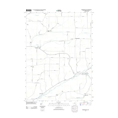 2013 Whitesville2013 Print · USGSAllegany County’s rural character is well-preserved in this modern survey of the valleys surrounding Whitesville. Genealogists can locate numerous burial sites including Spring Mills Cemetery, Hallsport Cemetery, and the United States Cemetery.
 - 2013 Map of Wellsville South, 2013 Print
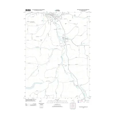 2013 Wellsville South2013 Print · USGSAllegany County’s southern tier is mapped here in the early twenty-first century, showing the winding Genesee River valley and its surrounding hill country. Family historians can locate historic burial grounds like Woodlawn Cem and Stannards Cem or trace rural landmarks such as Weidrick Bridge and Stone Dam.
 - 2013 Map of Ellisburg, 2013 Print
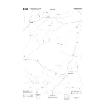 2013 Ellisburg2013 Print · USGSThe borderlands of New York and Pennsylvania appear here in the early 2010s, showing a landscape of deep hollows and upland farms. Genealogists can trace family names and small hubs like Andrews Settlement, Ellisburg, and Eleven Mile along the banks of Oswayo Cr.
Showing maps 1-25 of 38
Top cities near Willing
- Wellsville historical maps
- Alfred historical maps
- Wellsville historical maps
- Alfred historical maps
- Amity historical maps
- Bolivar historical maps
See more
Top neighborhoods of Willing
- Mapes historical maps
- Paynesville historical maps
- Hallsport historical maps
- Shongo historical maps
- Stannards historical maps
Frequently asked questions
- What are the different types of historical maps available for Willing?
- What is the oldest map of Willing?
- Where can I purchase historical maps of Willing for my home or office?
- Where can I download high-res historical maps of Willing?
- Are there historical topographic maps available for Willing?
- Is there historical aerial imagery available for Willing?
- Where are historical maps of Willing sourced from?