Old Maps of Fox, Ashford for Hiking & Exploration
Hike through history with 13 historic maps of Fox. Explore old trails, ghost towns, and forgotten backroads — perfect for outdoor adventurers and local explorers.
- Rediscover forgotten places: Map out old mining camps, roads, and footpaths that no longer exist on modern maps.
- Layer with modern tools: Combine with LiDAR or satellite views to plan hikes through historical terrain.
- Made for exploration: Popular among hikers, overlanders, and local history lovers.
Use these maps to find adventure and explore the hidden past of Fox.
Fox, Ashford maps
(13)- 1924 Map of Ellicottville
 1924 Ellicottville1924 Print · USGSCattaraugus County’s steep valleys and rural schools are preserved here in the mid-1920s, showing the region's transition into the early automotive age. Trace family roots and vanished landmarks like Cascade Park, the Dutch Hill Church, and the Buffalo Rochester and Pittsburgh Railroad corridor.3 unique versions available
 - 1941 Map of Ellicottville
 1941 Ellicottville1941 Print · USGSCattaraugus County in the early 1940s is shown here as a landscape of rural school districts and rail-side villages. Researchers can trace the Baltimore and Ohio tracks through Riceville Sta or locate family sites near Dutch Hill Church and Fancy Tract.
 - 1960 Map of Buffalo
 1960 Buffalo1960 Print · USGSWestern New York and the Niagara Peninsula thrive during the mid-twentieth century industrial peak. Genealogists and historians can trace family-named points and early settlements from Dunkirk Light to the Allegany Indian Reservation.
 - 1962 Map of Buffalo, 1980 Print
 1962 Buffalo1980 Print · USGSThe Niagara Frontier and Western New York are captured here in the early sixties, showing the vital industrial and maritime nexus between the U.S. and Canada. Researchers can trace the path of the Welland Canal, locate the Allegany Indian Reservation, or find family sites near Chautauqua Lake.2 unique versions available
 - 1964 Map of Ashford Hollow, 1965 Print
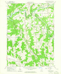 1964 Ashford Hollow1965 Print · USGSCattaraugus County in the mid-1960s reveals a rural landscape adapting to new industrial footprints like the Western New York Nuclear Service Center. Researchers can trace old family burial grounds at Weber Cem and Thomas Corners Cem or locate vanished rail stops at Riceville Station.4 unique versions available
 - 1967 Map of Buffalo
 1967 Buffalo1967 Print · USGSWestern New York and the Lake Erie shoreline are shown here during the mid-1960s industrial peak. Researchers can trace the massive rail networks of the Erie Railroad, locate the Cattaraugus Indian Reservation, or find historic sites like Fort Erie.
 - 1973 Map of Buffalo
 1973 Buffalo1973 Print · USGSWestern New York and Ontario's Golden Horseshoe meet in the early seventies, spanning from the industrial waterfronts of Buffalo to the hills of Allegany State Park. Trace the paths of the Welland Canal and Erie Lackawanna railroad through the lakefront towns of Dunkirk and Port Colborne.
 - 1986 Map of Olean
 1986 Olean1986 Print · USGSThe Southern Tier and northern Pennsylvania border are captured here in the mid-1980s as the regional rail and river economy evolved. Genealogists and local historians can trace family-named sites across the Allegany Indian Reservation, identify old Oil Field tracts, or locate landmarks like St Bonaventure University and the Tannery.2 unique versions available
 - 2010 Map of Ashford Hollow, 2010 Print
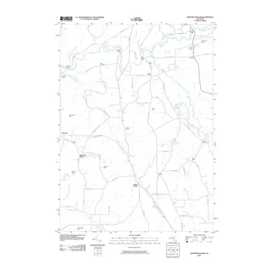 2010 Ashford Hollow2010 Print · USGSWestern New York's rural landscape is captured here in the early twenty-first century, centered on the steep valleys of the Cattaraugus. Researchers can trace family history through several burial grounds like Thomas Corners Cemetery and remote hamlets like Ashford Hollow and Whiteford Hollow.
 - 2013 Map of Ashford Hollow, 2013 Print
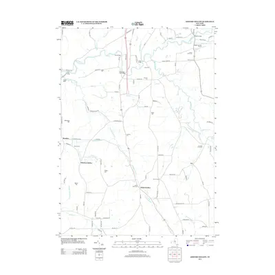 2013 Ashford Hollow2013 Print · USGSCattaraugus Creek and its many tributaries shaped the rural character of Erie County as it appeared in the early twenty-first century. Genealogists and local historians can trace small settlements and family plots at Ashford Hollow Cem, Edies Siding, and Thomas Corners.
 - 2016 Map of Ashford Hollow, 2016 Print
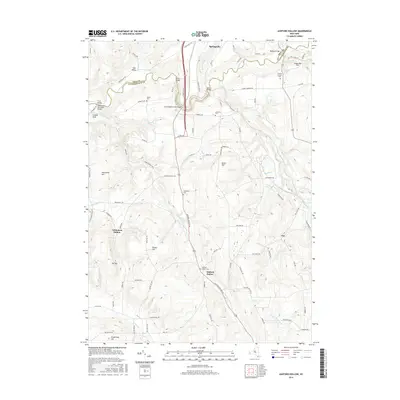 2016 Ashford Hollow2016 Print · USGSThe rural borderlands of Erie and Cattaraugus counties come into focus in the mid-2010s, centered on the dramatic valley of Cattaraugus Creek. Researchers can trace local lineage through several family-named landmarks and burial sites like Weber Cem, Schwartz Cem, and Scooby Bridge.
 - 2019 Map of Ashford Hollow, 2019 Print
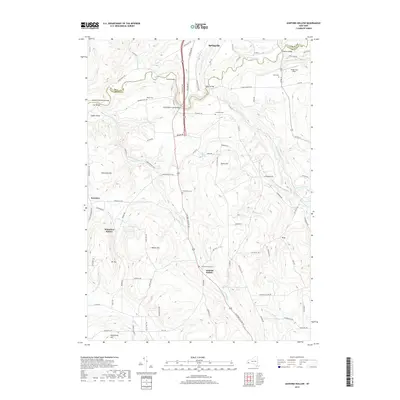 2019 Ashford Hollow2019 Print · USGSWestern New York's ridge-and-hollow country is documented here in the early twenty-first century, centered on the Cattaraugus Creek valley. Family historians can locate several local burial grounds such as Franktown Cem and Bond Cem near the settlements of Ashford Hollow and Springville.
 - 2023 Map of Ashford Hollow, 2023 Print
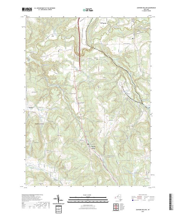 2023 Ashford Hollow2023 Print · USGSWestern New York at the start of the 2020s is shown here, where the Zoar Valley meets the high hills. Genealogists can trace local burials at Franktown Cem and Ashford Hollow Cem or locate old home sites near Whiteford Hollow.
End of results
Showing maps 1-13 of 13
Top cities near Fox
- Concord historical maps
- Boston historical maps
- Eden historical maps
- Salamanca historical maps
- Collins historical maps
- Springville historical maps
See more
Frequently asked questions
- What are the different types of historical maps available for Fox?
- What is the oldest map of Fox?
- Where can I purchase historical maps of Fox for my home or office?
- Where can I download high-res historical maps of Fox?
- Are there historical topographic maps available for Fox?
- Is there historical aerial imagery available for Fox?
- Where are historical maps of Fox sourced from?