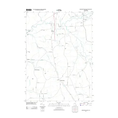
2013 Map of Ashford Hollow
USGS Topo · Published 2013About this map
Cattaraugus Cr winds through this western New York landscape, carving a deep valley that defines the local geography. The area is characterized by a series of high points like Cobble Knob and Hammond Hill that rise above the agricultural flats. Several small hamlets and historical gathering points are documented here, including Ashford Hollow and Thomas Corners. The presence of numerous burial grounds, such as Ashford Hollow Cem and Franktown Cem, provides a clear view of the early settlement patterns and family lineages in the region.
Find a feature on this map
93 named features on this map. Tap any name to fly to it.
Don’t see what you’re looking for? This feature index may not catch every label — zoom into the map to look around manually.
Map Details
Editions of this 2013 Ashford Hollow Map
This is the sole edition of this map. No revisions or reprints were ever made.
Other maps of this area

1905 · Eden
USGS Topo · 1:62,500

1907 · Eden
USGS Topo · 1:62,500

1923 · Cattaraugus
USGS Topo · 1:62,500

1924 · Ellicottville
USGS Topo · 1:62,500

1925 · Springville
USGS Topo · 1:62,500

1938 · Cattaraugus
USGS Topo · 1:62,500

1941 · Cattaraugus
USGS Topo · 1:62,500

1941 · Ellicottville
USGS Topo · 1:62,500

1944 · Eden
USGS Topo · 1:62,500

1944 · Langford
USGS Topo · 1:31,680