
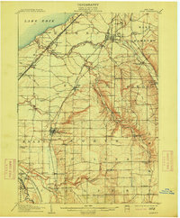
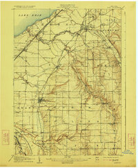
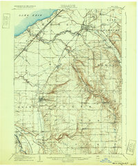
1907 Map of Eden
USGS Topo · Published 1907About this map
Cattaraugus Indian Reservation and the industrial corridors of southern Erie County anchor this early twentieth-century survey. The landscape is defined by the steep descents of Eighteenmile Creek and the South Branch as they carve toward Lake Erie. Several competing rail lines, including the Lake Shore and Michigan Southern RR and the Buffalo and Susquehanna RR, emphasize the region's role as a vital transportation gateway between Buffalo and the Pennsylvania coal fields.
Find a feature on this map
63 named features on this map. Tap any name to fly to it.
Don’t see what you’re looking for? This feature index may not catch every label — zoom into the map to look around manually.
Map Details
Editions of this 1907 Eden Map
4 editions found
Other maps of this area

1894 · Buffalo
USGS Topo · 1:62,500

1899 · Silver Creek
USGS Topo · 1:62,500

1900 · Cherry Creek
USGS Topo · 1:62,500

1901 · Buffalo
USGS Topo · 1:62,500

1905 · Depew
USGS Topo · 1:62,500

1905 · Eden
USGS Topo · 1:62,500

1923 · Cattaraugus
USGS Topo · 1:62,500

1924 · Ellicottville
USGS Topo · 1:62,500

1925 · Springville
USGS Topo · 1:62,500

1938 · Cattaraugus
USGS Topo · 1:62,500