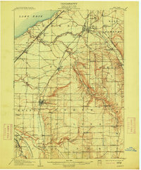
1907 Map of Eden
USGS Topo · Published 1915About this map
Lake Erie shorelines and the deeply incised valleys of the Eighteenmile Creek watershed define the landscape of southern Erie County at the turn of the century. The map reveals a robust transport network where the Lake Shore and Michigan Southern RR and Pennsylvania RR hug the coast, while the Electric RR connects the village of Hamburg. The rugged topography of the southern section is dominated by the Cattaraugus Indian Reservation, which follows the winding path of Cattaraugus Creek.
Find a feature on this map
66 named features on this map. Tap any name to fly to it.
Don’t see what you’re looking for? This feature index may not catch every label — zoom into the map to look around manually.
Map Details
Editions of this 1907 Eden Map
4 editions found
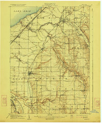
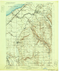
Other maps of this area

1894 · Buffalo
USGS Topo · 1:62,500

1899 · Silver Creek
USGS Topo · 1:62,500

1900 · Cherry Creek
USGS Topo · 1:62,500

1901 · Buffalo
USGS Topo · 1:62,500

1905 · Depew
USGS Topo · 1:62,500

1905 · Eden
USGS Topo · 1:62,500

1907 · Eden
USGS Topo · 1:62,500

1923 · Cattaraugus
USGS Topo · 1:62,500

1924 · Ellicottville
USGS Topo · 1:62,500

1925 · Springville
USGS Topo · 1:62,500