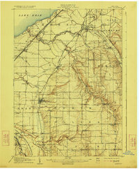
1907 Map of Eden
USGS Topo · Published 1923About this map
The shore of Lake Erie meets a landscape of deep ravines and early industrial transit in this 1904–1905 survey. The topography is defined by the sharp descents of Eighteenmile Creek and Cattaraugus Creek, which carve through the plateau toward the lake. This era shows a densely networked region where the Pennsylvania RR and the Lake Shore and Michigan Southern track the coastline, while the Erie RR and Buffalo and Jamestown Div Erie RR push south through Hamburg and Eden. In the southwest corner, the Cattaraugus Indian Reservation includes landmarks such as the Indian School and Newtown. To the north, the burgeoning lakefront is marked by seasonal and permanent landings at Walden Cliffs, Idlewood Sta, and Wanakah. This map captures a pivotal moment when rural crossroads like North Collins and Boston Center coexisted with heavy rail infrastructure and regional gathering places like the Fairgrounds near Hamburg.
Find a feature on this map
66 named features on this map. Tap any name to fly to it.
Don’t see what you’re looking for? This feature index may not catch every label — zoom into the map to look around manually.
Map Details
Editions of this 1907 Eden Map
4 editions found
Other maps of this area

1894 · Buffalo
USGS Topo · 1:62,500

1899 · Silver Creek
USGS Topo · 1:62,500

1900 · Cherry Creek
USGS Topo · 1:62,500

1901 · Buffalo
USGS Topo · 1:62,500

1905 · Depew
USGS Topo · 1:62,500

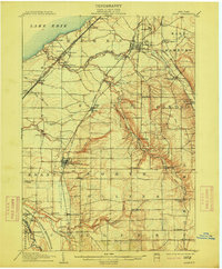
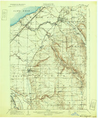
1905 · Eden
USGS Topo · 1:62,500

1907 · Eden
USGS Topo · 1:62,500

1923 · Cattaraugus
USGS Topo · 1:62,500

1924 · Ellicottville
USGS Topo · 1:62,500

1925 · Springville
USGS Topo · 1:62,500