Old Maps of Ellicottville, New York for Metal Detecting
Plan your next treasure hunt with 31 historic maps of Ellicottville. Find old homesites, ghost towns, trails, and gathering spots that may be lost to time — perfect for identifying promising metal detecting locations.
- Locate forgotten sites: Uncover places like long-lost settlements, abandoned rail lines, or gathering spots.
- Plan better hunts: Use map overlays combined with LiDAR or satellite views to narrow in on historically rich areas.
- Made for detectorists: Thousands of hobbyists use these maps to discover relics, coins, and hidden history.
Use these historic maps to boost your research and find new opportunities beneath the surface of Ellicottville.
Ellicottville, NY maps
(31)- 1924 Map of Ellicottville
 1924 Ellicottville1924 Print · USGSCattaraugus County’s steep valleys and rural schools are preserved here in the mid-1920s, showing the region's transition into the early automotive age. Trace family roots and vanished landmarks like Cascade Park, the Dutch Hill Church, and the Buffalo Rochester and Pittsburgh Railroad corridor.3 unique versions available
 - 1941 Map of Ellicottville
 1941 Ellicottville1941 Print · USGSCattaraugus County in the early 1940s is shown here as a landscape of rural school districts and rail-side villages. Researchers can trace the Baltimore and Ohio tracks through Riceville Sta or locate family sites near Dutch Hill Church and Fancy Tract.
 - 1960 Map of Buffalo
 1960 Buffalo1960 Print · USGSWestern New York and the Niagara Peninsula thrive during the mid-twentieth century industrial peak. Genealogists and historians can trace family-named points and early settlements from Dunkirk Light to the Allegany Indian Reservation.
 - 1962 Map of Buffalo, 1980 Print
 1962 Buffalo1980 Print · USGSThe Niagara Frontier and Western New York are captured here in the early sixties, showing the vital industrial and maritime nexus between the U.S. and Canada. Researchers can trace the path of the Welland Canal, locate the Allegany Indian Reservation, or find family sites near Chautauqua Lake.2 unique versions available
 - 1964 Map of Ellicottville, 1965 Print
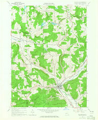 1964 Ellicottville1965 Print · USGSEllicottville and its surrounding hills are shown here just as the area was emerging as a premier winter recreation destination. Researchers can trace the mid-century footprint of the Holimont Ski Club and Holiday Valley Ski Club alongside the older Baltimore and Ohio rail line and quiet rural hamlets like Dublin and Orlando.2 unique versions available
 - 1964 Map of West Valley, 1965 Print
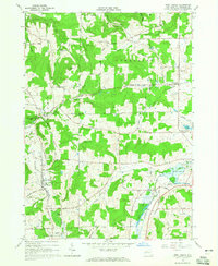 1964 West Valley1965 Print · USGSCattaraugus County in the mid-1960s shows a landscape of upland farms and scattered hamlets at the peak of their rural development. Genealogists and local historians can trace early family sites through numerous burial grounds like Kimball Cem and McKinstry Cem, or locate landmarks such as Beaver Siding and Riceville.2 unique versions available
 - 1964 Map of Ashford Hollow, 1965 Print
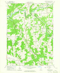 1964 Ashford Hollow1965 Print · USGSCattaraugus County in the mid-1960s reveals a rural landscape adapting to new industrial footprints like the Western New York Nuclear Service Center. Researchers can trace old family burial grounds at Weber Cem and Thomas Corners Cem or locate vanished rail stops at Riceville Station.4 unique versions available
 - 1964 Map of Ashford, 1965 Print
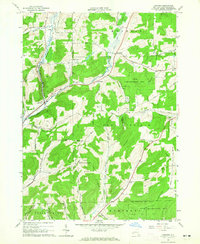 1964 Ashford1965 Print · USGSCattaraugus County in the mid-1960s shows a landscape of upland ridges and rail-connected valley settlements. You can trace the path of the Baltimore and Ohio Railroad past Devereaux or locate family sites near Root Cem and Fancy Tract.
 - 1967 Map of Buffalo
 1967 Buffalo1967 Print · USGSWestern New York and the Lake Erie shoreline are shown here during the mid-1960s industrial peak. Researchers can trace the massive rail networks of the Erie Railroad, locate the Cattaraugus Indian Reservation, or find historic sites like Fort Erie.
 - 1973 Map of Buffalo
 1973 Buffalo1973 Print · USGSWestern New York and Ontario's Golden Horseshoe meet in the early seventies, spanning from the industrial waterfronts of Buffalo to the hills of Allegany State Park. Trace the paths of the Welland Canal and Erie Lackawanna railroad through the lakefront towns of Dunkirk and Port Colborne.
 - 1986 Map of Olean
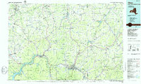 1986 Olean1986 Print · USGSThe Southern Tier and northern Pennsylvania border are captured here in the mid-1980s as the regional rail and river economy evolved. Genealogists and local historians can trace family-named sites across the Allegany Indian Reservation, identify old Oil Field tracts, or locate landmarks like St Bonaventure University and the Tannery.2 unique versions available
 - 2010 Map of Ellicottville, 2010 Print
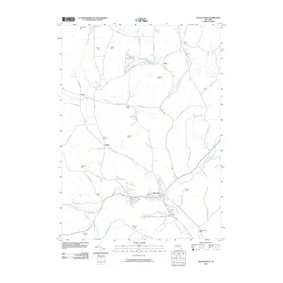 2010 Ellicottville2010 Print · USGSEllicottville and the surrounding peaks of Cattaraugus County appear in detail during the early 2000s. Researchers can trace rural lineages through local landmarks like Plato Cemetery, Bowen Cemetery, and the small settlement of Hinman Valley.
 - 2010 Map of West Valley, 2010 Print
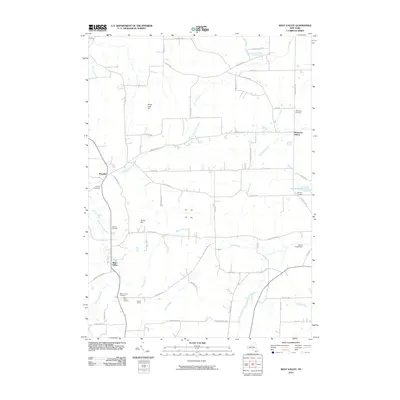 2010 West Valley2010 Print · USGSCattaraugus County is shown in detail during the early 21st century, centered on the rural hamlets and cemeteries of the Ashford and Yorkshire area. Genealogists can trace family names through Mount Hope Cemetery and Holland Cemetery or locate old rail stops like Beaver Siding.
 - 2010 Map of Ashford, 2010 Print
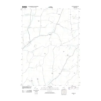 2010 Ashford2010 Print · USGSCattaraugus County's rural uplands are shown in detail as they appeared in the early 21st century. Researchers can locate historic family burial grounds at Root Cemetery or trace the early paths through Morgan Hollow, Fancy Tract, and the hamlet of Ashford.
 - 2010 Map of Ashford Hollow, 2010 Print
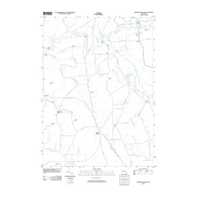 2010 Ashford Hollow2010 Print · USGSWestern New York's rural landscape is captured here in the early twenty-first century, centered on the steep valleys of the Cattaraugus. Researchers can trace family history through several burial grounds like Thomas Corners Cemetery and remote hamlets like Ashford Hollow and Whiteford Hollow.
 - 2013 Map of Ashford, 2013 Print
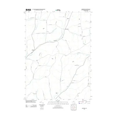 2013 Ashford2013 Print · USGSCattaraugus County is shown in the early twenty-first century as a landscape of rural hamlets and high ridges. Researchers can trace family-named geography and remote burials at Bryant Hill Cem, Fancy Tract, and the headwaters of Plum Brook.
 - 2013 Map of Ellicottville, 2013 Print
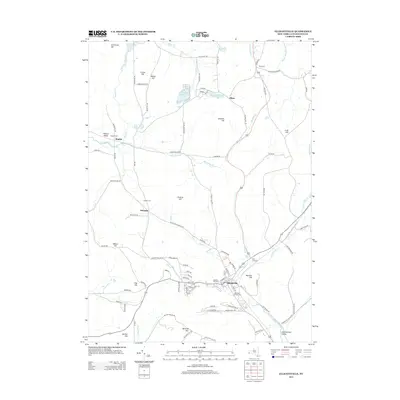 2013 Ellicottville2013 Print · USGSCattaraugus County in the early 2010s is a landscape of deep valleys and highland settlements centered around the village of Ellicottville. Genealogists and local historians can trace legacy sites like Plato Cemetery, Bowen Cemetery, and the heights of McCarty Hill.
 - 2013 Map of Ashford Hollow, 2013 Print
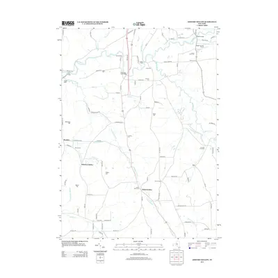 2013 Ashford Hollow2013 Print · USGSCattaraugus Creek and its many tributaries shaped the rural character of Erie County as it appeared in the early twenty-first century. Genealogists and local historians can trace small settlements and family plots at Ashford Hollow Cem, Edies Siding, and Thomas Corners.
 - 2013 Map of West Valley, 2013 Print
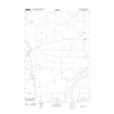 2013 West Valley2013 Print · USGSCattaraugus County at the start of the 2010s reveals a landscape of established dairy farms and quiet valley settlements. Genealogists can trace family roots through several local burial sites like Riceville Cem and McKinstry Cem or locate the rail siding at Beaver Siding.
 - 2016 Map of Ashford, 2016 Print
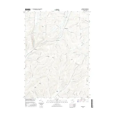 2016 Ashford2016 Print · USGSCattaraugus County's high ridges and deep valleys are documented here in the early twenty-first century. Researchers can trace rural family-named landmarks and burial sites like Bryant Hill Cem, Root Cem, McGuan Hollow, and Bakerstand.
 - 2016 Map of Ashford Hollow, 2016 Print
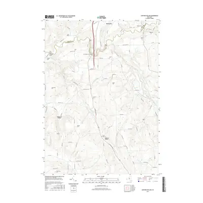 2016 Ashford Hollow2016 Print · USGSThe rural borderlands of Erie and Cattaraugus counties come into focus in the mid-2010s, centered on the dramatic valley of Cattaraugus Creek. Researchers can trace local lineage through several family-named landmarks and burial sites like Weber Cem, Schwartz Cem, and Scooby Bridge.
 - 2016 Map of Ellicottville, 2016 Print
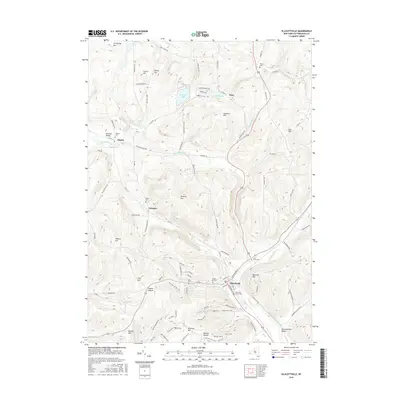 2016 Ellicottville2016 Print · USGSEllicottville and the surrounding high country of Cattaraugus County are captured here in the mid-2010s. Trace the valley settlements and rural cemeteries from Holy Cross Cem to Plato, alongside modern recreation routes like the Holimont XC Ski Trail.
 - 2016 Map of West Valley, 2016 Print
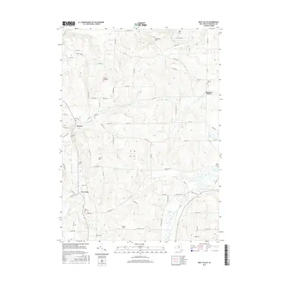 2016 West Valley2016 Print · USGSCattaraugus County's rural uplands and creek valleys are mapped here in the modern era, showing the enduring settlement patterns of this New York landscape. Researchers can locate numerous local burial grounds such as Holland Cem and Saint Johns Cem, alongside prominent landmarks like Blue Hill and Bird Swamp.
 - 2019 Map of Ashford, 2019 Print
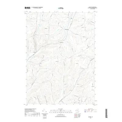 2019 Ashford2019 Print · USGSCattaraugus County's high ridges and deep hollows are captured in this recent survey of the New York highlands. Researchers can locate family landmarks and burial sites like Bryant Hill Cem and Root Cem, or trace the winding courses of Great Valley Cr and Bird Swamp.
 - 2019 Map of Ellicottville, 2019 Print
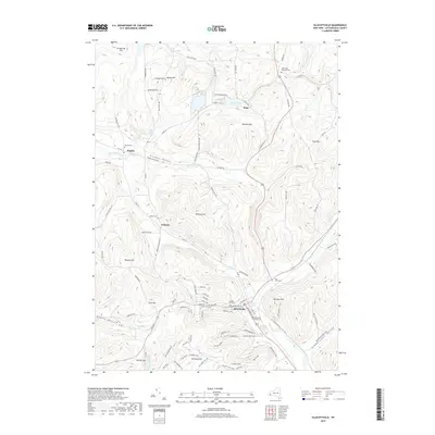 2019 Ellicottville2019 Print · USGSEllicottville and the surrounding New York highlands are shown in this recent survey during a period of established mountain recreation. Researchers can trace local genealogy through several burial sites like Sunset Hill Cem or locate the sprawling trails of Holiday Valley.
Showing maps 1-25 of 31
Top cities near Ellicottville
- Olean historical maps
- Concord historical maps
- Allegany historical maps
- Salamanca historical maps
- Collins historical maps
- Springville historical maps
See more
Top neighborhoods of Ellicottville
Frequently asked questions
- What are the different types of historical maps available for Ellicottville?
- What is the oldest map of Ellicottville?
- Where can I purchase historical maps of Ellicottville for my home or office?
- Where can I download high-res historical maps of Ellicottville?
- Are there historical topographic maps available for Ellicottville?
- Is there historical aerial imagery available for Ellicottville?
- Where are historical maps of Ellicottville sourced from?