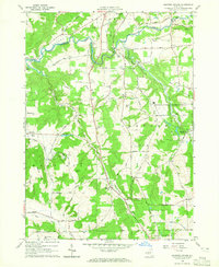
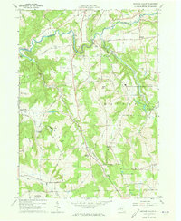
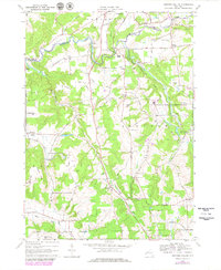
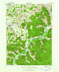
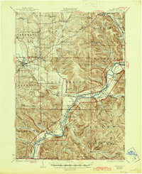
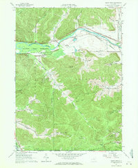
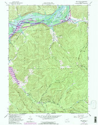
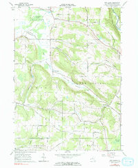
1964 Map of Ashford Hollow
USGS Topo · Published 1965This historical map portrays the area of Ashford Hollow in 1964, primarily covering Cattaraugus County as well as portions of Erie County. Featuring a scale of 1:24000, this map provides a highly detailed snapshot of the terrain, roads, buildings, counties, and historical landmarks in the Ashford Hollow region at the time. Published in 1965, it is one of 4 known editions of this map due to revisions or reprints.
Find a feature on this map
46 named features on this map. Tap any name to fly to it.
Don’t see what you’re looking for? This feature index may not catch every label — zoom into the map to look around manually.
Map Details
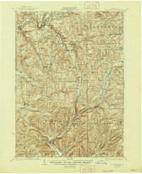
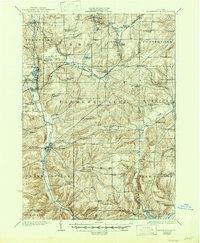
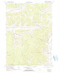
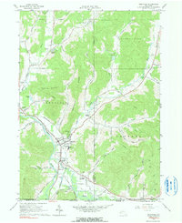
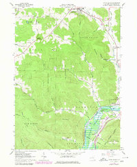
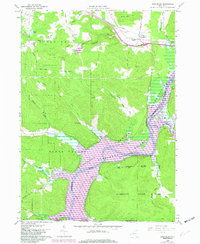
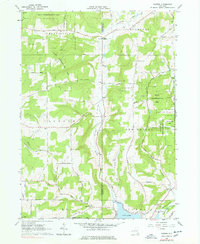
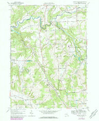
Editions of this 1964 Ashford Hollow Map
4 editions found
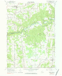
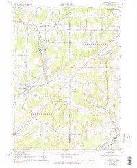
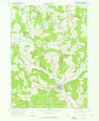
Historical Maps of Ellicottville Through Time
27 maps found
1922 Randolph
Cattaraugus County, NY
1923 Randolph
Cattaraugus County, NY
1924 Ellicottville
Cattaraugus County, NY
1924 Franklinville
Cattaraugus County, NY

1941 Ellicottville
Cattaraugus County, NY

1942 Franklinville
Cattaraugus County, NY

1943 Randolph
Cattaraugus County, NY

1961 Cuba
Cattaraugus County, NY

1961 Hinsdale
Cattaraugus County, NY
1961 Humphrey
Cattaraugus County, NY
1961 Knapp Creek
Cattaraugus County, NY
1961 Portville
Cattaraugus County, NY
1962 Little Valley
Cattaraugus County, NY
1962 Randolph
Cattaraugus County, NY
1962 Red House
Cattaraugus County, NY
1962 Steamburg
Cattaraugus County, NY
1963 Collins Center
Cattaraugus County, NY

1963 Franklinville
Cattaraugus County, NY
1963 Freedom
Cattaraugus County, NY
1963 New Albion
Cattaraugus County, NY
1963 Rawson
Cattaraugus County, NY

1964 Ashford
Cattaraugus County, NY
1964 Ashford Hollow
Cattaraugus County, NY
1964 Ellicottville
Cattaraugus County, NY

1971 Hinsdale
Cattaraugus County, NY

1979 Hinsdale
Cattaraugus County, NY

1979 Knapp Creek
Cattaraugus County, NY