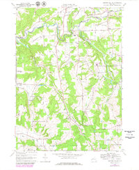
1964 Map of Ashford Hollow
USGS Topo · Published 1979About this map
Cattaraugus Creek carves a dramatic path through Zoar Valley on this 1964 survey, defining the boundary between Erie and Cattaraugus counties. The landscape is a mix of wooded slopes and upland plateaus, where rural life is anchored by small settlements like Ashford Hollow and Brooklyn. This era captures the region's diverse land use, from the quiet agricultural tracts near Thomas Corners to the industrial presence of the Western New York Nuclear Service Center along Buttermilk Creek. A legacy of early settlement is visible in the network of family-named roads and remote burial grounds, including Weber Cem and Schwartz Cem. The presence of Riceville Station and Edies Siding highlights the area's older transportation infrastructure, while newer additions like a Golf Course and Roadside Park near Spooner Creek reflect mid-century shifts toward recreation and transit-based development.
Find a feature on this map
54 named features on this map. Tap any name to fly to it.
Don’t see what you’re looking for? This feature index may not catch every label — zoom into the map to look around manually.
Map Details
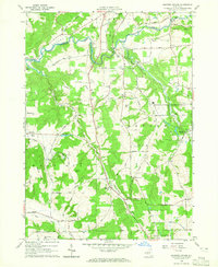
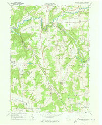
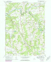
Editions of this 1964 Ashford Hollow Map
4 editions found
Other maps of this area

1905 · Eden
USGS Topo · 1:62,500

1907 · Eden
USGS Topo · 1:62,500

1923 · Cattaraugus
USGS Topo · 1:62,500

1924 · Ellicottville
USGS Topo · 1:62,500

1925 · Springville
USGS Topo · 1:62,500

1938 · Cattaraugus
USGS Topo · 1:62,500

1941 · Cattaraugus
USGS Topo · 1:62,500

1941 · Ellicottville
USGS Topo · 1:62,500

1944 · Eden
USGS Topo · 1:62,500

1944 · Langford
USGS Topo · 1:31,680