Old Maps of Olean, New York for Genealogy
Trace your family roots with 35 historic maps of Olean. These high-res maps reveal old neighborhoods, homesites, landmarks, and streets — helping you uncover where your ancestors lived and how the area evolved over time.
- Explore historic neighborhoods: Identify where your relatives may have lived in the 1800s or 1900s.
- Compare maps over time: Trace the changes in streets, buildings, and landmarks for multi-generational research.
- Perfect for genealogy & ancestry research: Used by family historians and researchers to map out lineage and migration.
These maps are an incredible resource for exploring your personal connection to Olean's past.
Olean, NY maps
(35)- 1898 Map of Olean
 1898 Olean1898 Print · USGSCattaraugus County is shown here at the peak of its rail-and-river era, centered on the major industrial junction at Olean. Genealogists and collectors can trace the sprawling network of the Penna. R.R. and locate vanished local landmarks like the Oil Tanks or the distinct formation at Rock City.5 unique versions available
 - 1933 Map of Smethport, 1960 Print
 1933 Smethport1960 Print · USGSNorthern Pennsylvania’s river valleys were centers of industry and transit in the early 1930s as rail lines followed the winding water gaps. Genealogists can trace family roots through numerous valley schoolhouses like Bush Hill Sch and rural settlements including Duke Center and Turtlepoint.
 - 1937 Map of Smethport
 1937 Smethport1937 Print · USGSMcKean County's river valleys and oil-country settlements are captured here in the mid-1930s as the regional rail network still connected remote hollows. Genealogists and historians can trace the exact locations of local schools like Newell Creek Sch, old family landmarks such as Devils Den, and the rural layout of Smethport.3 unique versions available
 - 1938 Map of Olean, 1955 Print
 1938 Olean1955 Print · USGSOlean and the Allegheny River valley are shown here just before the mid-century, defined by a dense network of Pennsylvania and Erie rail lines. Local historians can trace the development of Westons Mills and the industrial layout near North Olean or locate the Oil Spring Indian Reservation.3 unique versions available
 - 1943 Map of Olean
 1943 Olean1943 Print · USGSCattaraugus County in the late nineteenth century was a corridor of burgeoning rail and industry along the Allegheny. Researchers can trace the path of the Penna. R.R. through old settlements like Hinsdale and Westons Mills, or locate early landmarks like Rock City.
 - 1957 Map of Warren, 1964 Print
 1957 Warren1964 Print · USGSThe northern Pennsylvania oil and timber country comes into focus in the mid-fifties, showing the region before modern highway expansions. Trace the industrial rail networks of the Pennsylvania RR and the early Allegheny River Reservoir near Warren and Oil City.4 unique versions available
 - 1958 Map of Warren
 1958 Warren1958 Print · USGSNorthern Pennsylvania’s timber and oil country is captured here during the late fifties, showing the interplay of industrial valleys and vast state forests. Genealogists can trace family connections across the Cornplanter Indian Reservation or through rail hubs like Oil City and Saint Marys.
 - 1959 Map of Warren
 1959 Warren1959 Print · USGSNorthern Pennsylvania's oil and timber country comes alive in this late-fifties study of the forest-clad plateaus. Trace the historic Cornplanter (Indian Reservation), the sprawling Oil Field, and the rail lines of the Pennsylvania RR.2 unique versions available
 - 1960 Map of Buffalo
 1960 Buffalo1960 Print · USGSWestern New York and the Niagara Peninsula thrive during the mid-twentieth century industrial peak. Genealogists and historians can trace family-named points and early settlements from Dunkirk Light to the Allegany Indian Reservation.
 - 1961 Map of Olean, 1962 Print
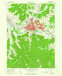 1961 Olean1962 Print · USGSOlean and Allegany are shown in the early sixties as bustling rail and river hubs near the Pennsylvania border. Genealogists and local historians can trace the grounds of St Bonaventure University, Mt View Cemetery, and the local oil field.3 unique versions available
 - 1961 Map of Hinsdale, 1963 Print
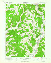 1961 Hinsdale1963 Print · USGSCattaraugus County in the early 1960s shows a landscape of deep valleys defined by the meeting of Ischua Creek and Oil Creek. Genealogists and historians can trace rail history along the Erie Lackawanna Railroad or locate local landmarks like Maplehurst, Hinsdale Cem, and Union Valley Ch.
 - 1962 Map of Buffalo, 1980 Print
 1962 Buffalo1980 Print · USGSThe Niagara Frontier and Western New York are captured here in the early sixties, showing the vital industrial and maritime nexus between the U.S. and Canada. Researchers can trace the path of the Welland Canal, locate the Allegany Indian Reservation, or find family sites near Chautauqua Lake.2 unique versions available
 - 1967 Map of Buffalo
 1967 Buffalo1967 Print · USGSWestern New York and the Lake Erie shoreline are shown here during the mid-1960s industrial peak. Researchers can trace the massive rail networks of the Erie Railroad, locate the Cattaraugus Indian Reservation, or find historic sites like Fort Erie.
 - 1969 Map of Eldred, 1972 Print
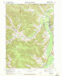 1969 Eldred1972 Print · USGSMcKean County and the New York border region are captured here in the late sixties, showing the active Bradford Oil Field and the Allegheny River corridor. Researchers can trace family sites at Lamphier Cem, find the Township Sch, or explore the rail network through Larabee and West Eldred.3 unique versions available
 - 1971 Map of Warren
 1971 Warren1971 Print · USGSNorth Central Pennsylvania is captured here in the early seventies, showing a landscape defined by industrial centers and massive state forests. Genealogists and historians can trace the rail lines of the Penn Central and Erie Lackawanna connecting towns like Warren, Kane, and Du Bois.
 - 1971 Map of Hinsdale
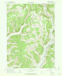 1971 Hinsdale1971 Print · USGSCattaraugus County in the early sixties maintains its character as a transport hub where the Pennsylvania and Erie Lackawanna railroads meet. Trace family roots through local sites like Union Valley Ch and the Maple Grove Cem.
 - 1973 Map of Buffalo
 1973 Buffalo1973 Print · USGSWestern New York and Ontario's Golden Horseshoe meet in the early seventies, spanning from the industrial waterfronts of Buffalo to the hills of Allegany State Park. Trace the paths of the Welland Canal and Erie Lackawanna railroad through the lakefront towns of Dunkirk and Port Colborne.
 - 1979 Map of Hinsdale, 1980 Print
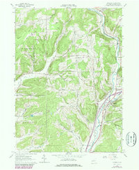 1979 Hinsdale1980 Print · USGSCattaraugus County valleys were undergoing modern revisions in the late seventies while maintaining their traditional rural character. Researchers can trace the rail lines of Conrail and locate ancestral sites like Union Valley Ch or Hinsdale Cem.
 - 1980 Map of Bradford, 1982 Print
 1980 Bradford1982 Print · USGSNorthern Pennsylvania's oil country and deep forests are captured here during the 1980s. Genealogists and researchers can trace rail-side settlements like Kushequa, Gifford, and Lewis Run or locate specific Oil and Gas Field sites across the plateau.
 - 1986 Map of Olean
 1986 Olean1986 Print · USGSThe Southern Tier and northern Pennsylvania border are captured here in the mid-1980s as the regional rail and river economy evolved. Genealogists and local historians can trace family-named sites across the Allegany Indian Reservation, identify old Oil Field tracts, or locate landmarks like St Bonaventure University and the Tannery.2 unique versions available
 - 2010 Map of Olean, 2010 Print
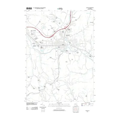 2010 Olean2010 Print · USGSOlean and its surrounding river valleys are captured here in the early twenty-first century, showing the established footprint of the southern New York region. Researchers can trace local landmarks from Saint Bonaventure University to the unique Rock City Natural Bridge and Westons Mills.
 - 2010 Map of Hinsdale, 2010 Print
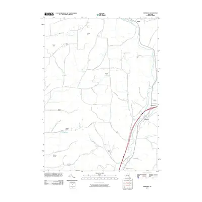 2010 Hinsdale2010 Print · USGSHinsdale and Maplehurst sit at the confluence of several vital waterways in Cattaraugus County during the early twenty-first century. Genealogists can locate family burial sites at Hinsdale Cemetery or Pleasant Valley Cemetery and trace homesteads in Morgan Hollow.
 - 2010 Map of Eldred, 2010 Print
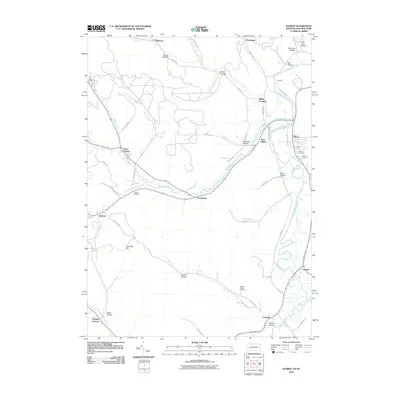 2010 Eldred2010 Print · USGSThe Allegheny River corridor and the Pennsylvania-New York borderlands are detailed here in the late 2000s. Researchers can locate specific family landmarks and rural sites such as Duke Center, Oak Hill Cemetery, and the river crossing at Indian Crossing.
 - 2013 Map of Hinsdale, 2013 Print
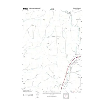 2013 Hinsdale2013 Print · USGSCattaraugus County is shown here in the early twenty-first century, centered on the valley settlements and highland ridges. Researchers can trace local burial sites like Hinsdale Cem or the Pleasant Valley Cem and locate landmarks like the Baxter Mill Road Bridge.
 - 2013 Map of Olean, 2013 Print
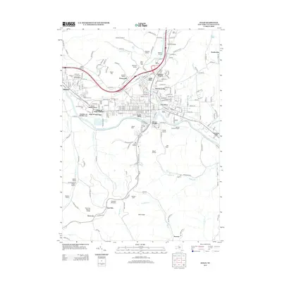 2013 Olean2013 Print · USGSThe Allegheny River valley comes into focus during the early twenty-first century, showing the established rail and collegiate corridors of Cattaraugus County. Genealogists and local researchers can locate Saint Bonaventure Cemetery, the North Olean Yards, and landmarks like Rock City Natural Bridge.
Showing maps 1-25 of 35
Top cities near Olean
- Olean historical maps
- Bradford historical maps
- Allegany historical maps
- Portville historical maps
- Cuba historical maps
- Franklinville historical maps
See more
Top neighborhoods of Olean
Frequently asked questions
- What are the different types of historical maps available for Olean?
- What is the oldest map of Olean?
- Where can I purchase historical maps of Olean for my home or office?
- Where can I download high-res historical maps of Olean?
- Are there historical topographic maps available for Olean?
- Is there historical aerial imagery available for Olean?
- Where are historical maps of Olean sourced from?