Old Maps of Genoa, New York for Metal Detecting
Plan your next treasure hunt with 48 historic maps of Genoa. Find old homesites, ghost towns, trails, and gathering spots that may be lost to time — perfect for identifying promising metal detecting locations.
- Locate forgotten sites: Uncover places like long-lost settlements, abandoned rail lines, or gathering spots.
- Plan better hunts: Use map overlays combined with LiDAR or satellite views to narrow in on historically rich areas.
- Made for detectorists: Thousands of hobbyists use these maps to discover relics, coins, and hidden history.
Use these historic maps to boost your research and find new opportunities beneath the surface of Genoa.
Genoa, NY maps
(48)- 1898 Map of Moravia
 1898 Moravia1898 Print · USGSCentral New York at the close of the nineteenth century is captured here as a landscape of valley railroads and hilltop hamlets. You can trace the Lehigh Valley line through Moravia, find family land near Benson Corners, or locate Morse Mill and Lake Como.
 - 1902 Map of Moravia
 1902 Moravia1902 Print · USGSThe rural landscapes of Cayuga and Tompkins counties are captured here at the start of the twentieth century, when small hamlets thrived along the rail lines. Genealogists can trace family names and vanished post offices at Goosetree, Morse Mill, and Grotto.7 unique versions available
 - 1902 Map of Genoa
 1902 Genoa1902 Print · USGSThe Finger Lakes region thrived on water and rail transport at the turn of the century, centered on the transit hub of Cayuga Lake. Genealogists and historians can trace the early Steamboat Route and find historic sites like Wells College and Taughannic Falls.8 unique versions available
 - 1942 Map of Ludlowville, 1956 Print
 1942 Ludlowville1956 Print · USGSCayuga Lake and its dramatic ravines are captured here in the early 1940s, showing the intersection of lakeside industry and rural life. Researchers can trace the Lehigh Valley rail line past the Salt Works or find family roots near Ludlowville and German Cem.3 unique versions available
 - 1942 Map of Sheldrake, 1960 Print
 1942 Sheldrake1960 Print · USGSThe shores of Cayuga Lake are captured here during the early 1940s, showcasing a rural landscape of crossroads hamlets and lakeside points. Genealogists can locate family landmarks like Parker Cem, Wells College, and the rail depot at King Ferry Sta.
 - 1942 Map of Genoa, 1960 Print
 1942 Genoa1960 Print · USGSSouthern Cayuga County during the early years of the war was a landscape of tightly-knit crossroad hamlets and rural school districts. Genealogists can trace family footprints across Poplar Ridge, Little Hollow, and multiple burial grounds like Maplewood Cem.
 - 1942 Map of Trumansburg, 1960 Print
 1942 Trumansburg1960 Print · USGSThe western shore of Cayuga Lake during the early years of the war shows a landscape of busy rail lines and lakeside landings. Researchers can trace family roots at Grove Cemetery or explore the rural layout of Trumansburg, Podunk, and Halseyville.
 - 1943 Map of Moravia
 1943 Moravia1943 Print · USGSSouthern Cayuga County's valley farms and steep ravines are captured here in the early 1940s, centered on the village of Moravia. Genealogists can trace family connections through numerous landmarks like Baker Cem, Wilson Corners, and a dozen district schools including School No 9.3 unique versions available
 - 1943 Map of Ludlowville
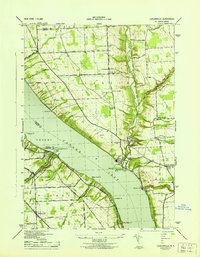 1943 Ludlowville1943 Print · USGSThe Finger Lakes region during the early war years reveals a landscape of industrial lakeside sites and quiet upland farm districts. Genealogists and researchers can trace local roots through numerous landmarks like Pine Grove Cem, Jacksonville, and the Salt Works at Myers.
 - 1943 Map of Genoa
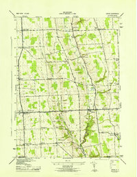 1943 Genoa1943 Print · USGSSouthern Cayuga County appears as a network of rural hamlets and creek valleys in the early 1940s. Genealogists can trace family roots through numerous district schools and landmarks like King Ferry, Five Corners, and the Maplewood Cem.
 - 1943 Map of Trumansburg
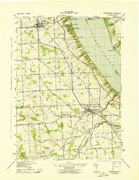 1943 Trumansburg1943 Print · USGSThe western shores of Cayuga Lake come alive in this wartime survey, showing the agricultural heartland between Seneca and Tompkins Counties. Genealogists and local historians can trace family roots through sites like St James Cem, School No 24, and the lakeside landings at Bergen Beach.
 - 1943 Map of Sheldrake
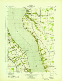 1943 Sheldrake1943 Print · USGSCayuga Lake's eastern and western shores are captured here in the early 1940s, showing a landscape of deep gullies and lakeside rail stations. Genealogists can trace family names at Quaker Cem or locate former hubs like Kings Ferry Station and Wells College.
 - 1949 Map of Moravia
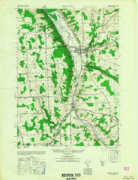 1949 Moravia1949 Print · USGSThe Finger Lakes uplands around Moravia and Locke are shown here in the late 1940s as a landscape of rural schoolhouses and valleys. Researchers can trace the Lehigh Valley rail line and locate ancestral sites like St Patricks Ch or the Monaghan Cem.
 - 1950 Map of Elmira
 1950 Elmira1950 Print · USGSThe Finger Lakes region thrived in the late 1940s as a hub of industry and transport. Trace family roots and vanished landmarks near Seneca Lake or explore the rail lines of the Erie RR and the sprawling Seneca Ordnance Depot.2 unique versions available
 - 1958 Map of Elmira
 1958 Elmira1958 Print · USGSThe New York Finger Lakes during the late fifties reveal a complex landscape of glacial geology and industrial growth. Researchers can trace historic transport corridors like the Erie Canal and Erie RR, or locate institutional landmarks like Cornell University.2 unique versions available
 - 1962 Map of Elmira, 1969 Print
 1962 Elmira1969 Print · USGSThe Finger Lakes region and Southern Tier are captured here during a period of industrial maturity and highway expansion. Researchers can trace the path of the Erie Canal, the footprint of the Seneca Army Depot, and legacy rail lines through Elmira and Ithaca.4 unique versions available
 - 1965 Map of Elmira
 1965 Elmira1965 Print · USGSThe Finger Lakes and Southern Tier regions are captured in the mid-sixties, showcasing a landscape of deep glacial valleys and heavy rail infrastructure. Trace old railroad corridors like the Pennsylvania RR or visit landmarks like Letchworth State Park and the Seneca Army Depot.
 - 1970 Map of Genoa, 1974 Print
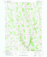 1970 Genoa1974 Print · USGSSouthern Cayuga County in the early seventies remained a landscape of rural hamlets and deep creek valleys. Genealogists can trace family names through landmarks like Genoa Cem and old crossroads such as Poplar Ridge and King Ferry.2 unique versions available
 - 1970 Map of Trumansburg, 1974 Print
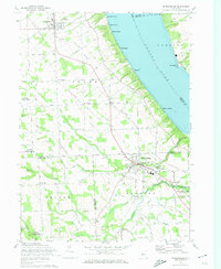 1970 Trumansburg1974 Print · USGSThe western Cayuga Lake shoreline and the village of Trumansburg are shown here as they appeared in the early 1970s. Researchers can trace the Lehigh Valley RR, locate the Nun-Dak-Et Airfield, and find small settlements like Podunk and Waterburg.2 unique versions available
 - 1971 Map of Sheldrake, 1974 Print
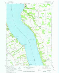 1971 Sheldrake1974 Print · USGSCayuga Lake's shoreline in the early 1970s reveals a landscape of historic college grounds and deep-cut gullies. Trace the Lehigh Valley rail line or locate family landmarks like Prospect Corners, Jump Corners, and Wells College.2 unique versions available
 - 1971 Map of Moravia, 1974 Print
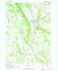 1971 Moravia1974 Print · USGSSouthern Cayuga County in the early 1970s is defined by the steep valley of the Owasco Inlet and its vital rail corridor. Genealogists can trace family names at Indian Mound Cem or explore historic centers like Moravia and Locke.2 unique versions available
 - 1971 Map of Ludlowville, 1975 Print
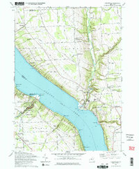 1971 Ludlowville1975 Print · USGSThe shores of Cayuga Lake in the early 1970s reveal a mix of Finger Lakes recreation and industrial transit. Researchers can trace the Lehigh Valley Railroad line, locate rural burial sites like Bower Cem, and explore the gorge at Taughannock Falls State Park.2 unique versions available
 - 1986 Map of Auburn
 1986 Auburn1986 Print · USGSThe Finger Lakes region in the mid-eighties shows a landscape of deep glacial waters and significant military sites. Trace the layout of the Seneca Army Depot, find the campus of Wells College, and follow the historic Lehigh Valley RR lines.2 unique versions available
 - 2010 Map of Genoa, 2010 Print
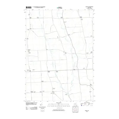 2010 Genoa2010 Print · USGSThe rural Cayuga County landscape south of the Finger Lakes is captured here in its modern agricultural form. Genealogists can trace family lines through numerous named landmarks like Goodyear Corners, Tait Corners, and the historic Stewart Corners Cemetery.
 - 2010 Map of Ludlowville, 2010 Print
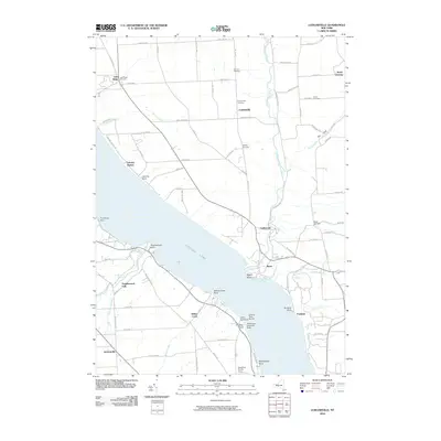 2010 Ludlowville2010 Print · USGSThe eastern shores of Cayuga Lake and the rural uplands of Tompkins County are detailed here in the early twenty-first century. Genealogists and local historians can trace family plots at German Cemetery or locate old community centers like North Lansing and Lansing Station.
Showing maps 1-25 of 48
Top cities near Genoa
- Ithaca historical maps
- Ithaca historical maps
- Dryden historical maps
- Lansing historical maps
- Seneca Falls historical maps
- Skaneateles historical maps
See more
Top neighborhoods of Genoa
- King Ferry historical maps
- Little Hollow historical maps
- Weekes Corner historical maps
- Goodyear Corners historical maps
- Goosetree historical maps
- Pine Hollow historical maps
See more
Frequently asked questions
- What are the different types of historical maps available for Genoa?
- What is the oldest map of Genoa?
- Where can I purchase historical maps of Genoa for my home or office?
- Where can I download high-res historical maps of Genoa?
- Are there historical topographic maps available for Genoa?
- Is there historical aerial imagery available for Genoa?
- Where are historical maps of Genoa sourced from?