Old Maps of Fleming, New York
Explore 37 old maps of Fleming, spanning from 1899 to today. These high-resolution historic maps reveal how streets, neighborhoods, landmarks, and natural features evolved over time — perfect for genealogy, metal detecting, research, and local history exploration.
What you can do with these maps:
- See how Fleming changed over time: Compare historical maps to modern-day views to trace roads, homesites, rail lines & more.
- View detailed metadata: Each map includes creators, publishers, year, scale, and archive source.
- Overlay maps with satellite & LiDAR: Visualize the past alongside modern tools to explore terrain & human change.
- Trusted historical sources: Maps sourced from the USGS, Library of Congress, and other archives.
- Access maps your way: View online, download high-res files, or order prints for personal or research use.
Start exploring old maps of Fleming to uncover forgotten places, hidden landmarks, and the deep history beneath your feet.
Fleming, NY maps
(37)- 1899 Map of Auburn
 1899 Auburn1899 Print · USGSThe Finger Lakes region thrived at the close of the nineteenth century as a hub of rail and water transport. Genealogists can trace family names at Coonley Corners or locate early industrial sites like Howard Mill and the State Dam.
 - 1902 Map of Auburn
 1902 Auburn1902 Print · USGSThe Finger Lakes region thrived at the turn of the century as a hub of rail lines and canal traffic. Genealogists and historians can trace old homesteads and landings from Union Springs to Throopsville, including the complex rail junctions at Cayuga Junction and Aurelius Sta.9 unique versions available
 - 1943 Map of Cayuga
 1943 Cayuga1943 Print · USGSThe northern reaches of Cayuga Lake and the Montezuma wetlands are captured here during the early 1940s. Genealogists can locate family-named landmarks like Farnam Cem and Polk Corners, alongside the tracks of the New York Central Railroad.
 - 1943 Map of Scipio
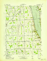 1943 Scipio1943 Print · USGSInland from the shores of Owasco Lake during the early 1940s, this Cayuga County landscape is a meticulous grid of rural townships and family-named corners. Genealogists can trace family footprints across dozens of sites like Scipio Center, St Bernard Cem, and the Emily Howland High Sch.
 - 1943 Map of Union Springs
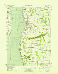 1943 Union Springs1943 Print · USGSThe eastern shores of Cayuga Lake come to life in the 1940s as the rail-and-water economy supports bustling lakeside villages. Genealogists can locate family landmarks from Red Jacket Cem to Sherwood, alongside numerous rural schools and the Lehigh Valley line.
 - 1943 Map of Auburn
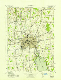 1943 Auburn1943 Print · USGSMid-century Auburn and its lakefront were defined by a mix of heavy industry and institutional landmarks during the war years. Genealogists and researchers can trace local family history through numerous rural burial grounds like Soule Cem and schools such as Seward Sch.
 - 1950 Map of Elmira
 1950 Elmira1950 Print · USGSThe Finger Lakes region thrived in the late 1940s as a hub of industry and transport. Trace family roots and vanished landmarks near Seneca Lake or explore the rail lines of the Erie RR and the sprawling Seneca Ordnance Depot.2 unique versions available
 - 1953 Map of Auburn
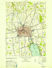 1953 Auburn1953 Print · USGSAuburn and its surrounding townships thrive in the mid-twentieth century as a major center for industry, rail, and state institutions. Genealogists and local historians can trace the footprints of Auburn State Prison, the Childrens Home, and numerous local burial grounds like Fort Hill Cem and Soule Cem.
 - 1954 Map of Auburn, 1955 Print
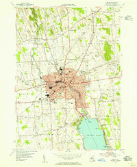 1954 Auburn1955 Print · USGSThe industrial hub of Auburn and the northern reaches of Owasco Lake are captured here during the mid-fifties. Genealogists and researchers can trace family names at Fort Hill Cemetery, locate the old Half Acre Sta, or follow the Lehigh Valley Railroad through Aurelius.3 unique versions available
 - 1954 Map of Cayuga, 1956 Print
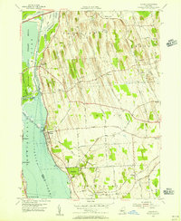 1954 Cayuga1956 Print · USGSMid-century Cayuga County is defined here by the vast wetlands of the Montezuma Marsh and the busy rail-and-canal corridor at the head of Cayuga Lake. Genealogists and local historians can trace family-named crossroads like Polk Corners, locate the Montezuma Cem, or find long-standing rural junctions like Half Acre.2 unique versions available
 - 1955 Map of Union Springs, 1957 Print
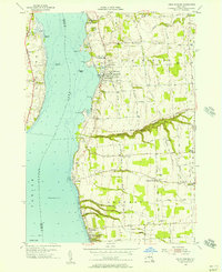 1955 Union Springs1957 Print · USGSThe eastern shores of Cayuga Lake are captured here in the mid-fifties, showing the rail-linked settlements of Union Springs and Aurora. Genealogists and local historians can trace family-named sites like Powers Corner, Red Jacket Cem, and Union Springs Academy.3 unique versions available
 - 1956 Map of Scipio Center, 1957 Print
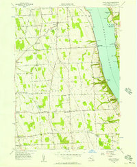 1956 Scipio Center1957 Print · USGSOwasco Lake's western shoreline and the fertile Finger Lakes uplands are captured here in the mid-fifties. Researchers can trace the Lehigh Valley rail corridor, locate rural landmarks like St Bernard Cem, or explore the old hamlets of Scipioville and Merrifield.2 unique versions available
 - 1956 Map of Auburn, 1961 Print
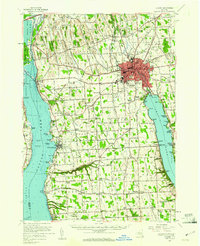 1956 Auburn1961 Print · USGSMid-century Cayuga County is defined by the industrial engine of Auburn and the busy shorelines of Cayuga and Owasco Lakes. Genealogists and historians can trace family ties through Old Quaker Cem, locate the old Half Acre Sta, and see the early footprint of the New York State Thruway.2 unique versions available
 - 1958 Map of Elmira
 1958 Elmira1958 Print · USGSThe New York Finger Lakes during the late fifties reveal a complex landscape of glacial geology and industrial growth. Researchers can trace historic transport corridors like the Erie Canal and Erie RR, or locate institutional landmarks like Cornell University.2 unique versions available
 - 1962 Map of Elmira, 1969 Print
 1962 Elmira1969 Print · USGSThe Finger Lakes region and Southern Tier are captured here during a period of industrial maturity and highway expansion. Researchers can trace the path of the Erie Canal, the footprint of the Seneca Army Depot, and legacy rail lines through Elmira and Ithaca.4 unique versions available
 - 1965 Map of Elmira
 1965 Elmira1965 Print · USGSThe Finger Lakes and Southern Tier regions are captured in the mid-sixties, showcasing a landscape of deep glacial valleys and heavy rail infrastructure. Trace old railroad corridors like the Pennsylvania RR or visit landmarks like Letchworth State Park and the Seneca Army Depot.
 - 1986 Map of Auburn
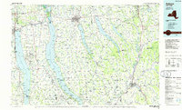 1986 Auburn1986 Print · USGSThe Finger Lakes region in the mid-eighties shows a landscape of deep glacial waters and significant military sites. Trace the layout of the Seneca Army Depot, find the campus of Wells College, and follow the historic Lehigh Valley RR lines.2 unique versions available
 - 2010 Map of Union Springs, 2010 Print
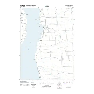 2010 Union Springs2010 Print · USGSThe eastern shore of Cayuga Lake is captured here in the early twenty-first century, showing a landscape defined by historic shoreline villages and rural crossroads. Genealogists can trace family footprints across Old Quaker Cemetery, Saint Michaels Roman Catholic Cemetery, and the historic settlement of Union Springs.
 - 2010 Map of Auburn, 2010 Print
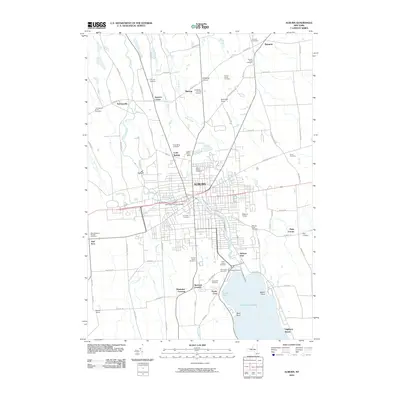 2010 Auburn2010 Print · USGSAuburn and its northern outskirts are captured at the start of the decade, showing the city's transition into the agricultural Finger Lakes countryside. Researchers can trace dozens of burial sites like Fort Hill Cemetery and Sennett Rural Cemetery, alongside lakefront communities at Highland Beach.
 - 2010 Map of Cayuga, 2010 Print
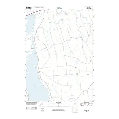 2010 Cayuga2010 Print · USGSThe northern shores of Cayuga Lake are shown here in the early twenty-first century, featuring the historic canal infrastructure and local agricultural lands. Researchers can locate numerous family burial sites like the Maycumber Family Cemetery or trace the water at Mud Lock.
 - 2010 Map of Scipio Center, 2010 Print
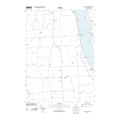 2010 Scipio Center2010 Print · USGSThe eastern shore of Owasco Lake and the agricultural heart of Cayuga County are captured here in the early 2000s. Genealogists can locate over a dozen burial sites, including the Gould-Akin Cemetery, and trace historic hamlets like Scipioville and Merrifield.
 - 2013 Map of Auburn, 2013 Print
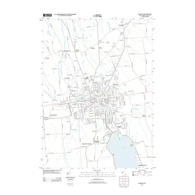 2013 Auburn2013 Print · USGSThe Finger Lakes region north of Owasco Lake shows a unique mix of mid-century suburban expansion and deep-rooted agricultural history. Researchers can trace numerous local burial sites like Sennett Rural Cem and identify historic hamlets such as Throopsville and Sawyers Corner.
 - 2013 Map of Union Springs, 2013 Print
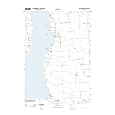 2013 Union Springs2013 Print · USGSAlong the eastern shore of Cayuga Lake in the early twenty-first century, this area maintains its historic lakeside character. Researchers can trace family roots at Chestnut Hill Cem, locate the small airfield at St Bernard Field Airport, or explore the old crossroads of Cooneys Corners.
 - 2013 Map of Scipio Center, 2013 Print
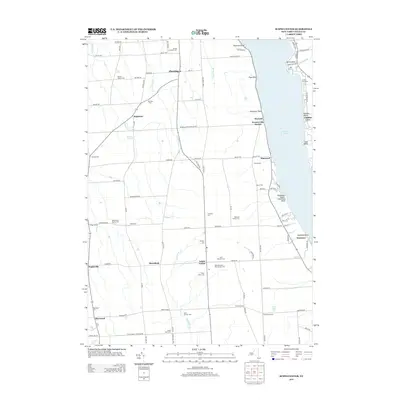 2013 Scipio Center2013 Print · USGSThe western shores of Owasco Lake and the rural interior of Cayuga County appear here in the early 2010s. Researchers can trace family history through numerous burial sites like Scipio Rural Cem or locate historic hubs such as Scipio Center and Owasco Lake Station.
 - 2013 Map of Cayuga, 2013 Print
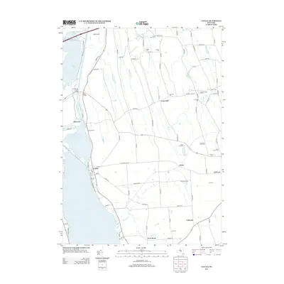 2013 Cayuga2013 Print · USGSThe eastern shore of Cayuga Lake and the Montezuma marshes come into focus in this early 21st-century survey. Genealogists can locate several smaller burial sites like Maycumber Family Cem and Lakeview Cem near the village of Cayuga.
Showing maps 1-25 of 37
Top cities near Fleming
- Auburn historical maps
- Camillus historical maps
- Lysander historical maps
- Van Buren historical maps
- Seneca Falls historical maps
- Skaneateles historical maps
See more
Top neighborhoods of Fleming
- Wyckoff historical maps
- Sherlock Corners historical maps
- Shumaker Crossing historical maps
- Mapleton historical maps
- Owasco Lake Station historical maps
Frequently asked questions
- What are the different types of historical maps available for Fleming?
- What is the oldest map of Fleming?
- Where can I purchase historical maps of Fleming for my home or office?
- Where can I download high-res historical maps of Fleming?
- Are there historical topographic maps available for Fleming?
- Is there historical aerial imagery available for Fleming?
- Where are historical maps of Fleming sourced from?