2000s (21st Century) Maps of Fleming, New York
Explore 20 historic maps of Fleming from the 2000s (21st Century). These maps offer a rare glimpse into what life looked like during the 2000s — showing old roads, neighborhoods, homes, and landmarks that have changed or disappeared over time.
Whether you're researching your family's past, planning a metal detecting trip, or studying how Fleming's landscape evolved across the 2000s, these high-resolution maps are a powerful tool for exploring the history of this region.
- Focus on a specific era: All maps on this page are from the 2000s, giving you a focused view of this time period.
- See what’s changed: Compare century-old streets, trails, and buildings to today's modern landscape using overlays and satellite layers.
- Research with precision: Use these maps for genealogy, historical research, land use analysis, or educational projects.
- View, download, or print: Maps are fully viewable online in high resolution, and can be downloaded or printed for your own records.
Start exploring Fleming's history through authentic maps from the 2000s. This is your window into the past.
Fleming, NY maps
(20)- 2010 Map of Union Springs, 2010 Print
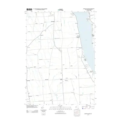
 2010 Union Springs2010 Print · USGSCovers Fleming, including Fayette, Romulus, and other nearby areas
 - 2010 Map of Auburn, 2010 Print
 2010 Auburn2010 Print · USGSCovers Fleming, including Auburn, Owasco, and other nearby areas
 - 2010 Map of Cayuga, 2010 Print
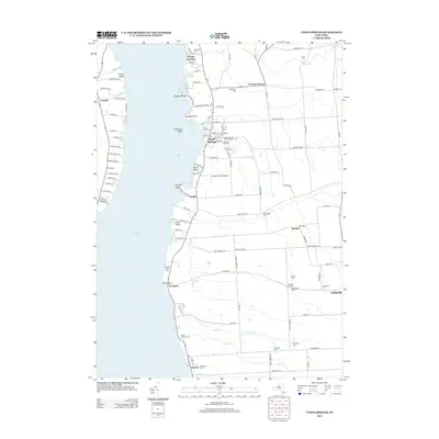
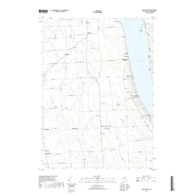
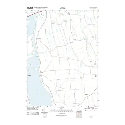 2010 Cayuga2010 Print · USGSCovers Fleming, including Seneca Falls, Fayette, and other nearby areas
 - 2010 Map of Scipio Center, 2010 Print
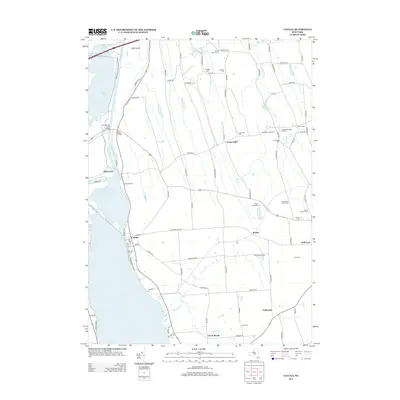
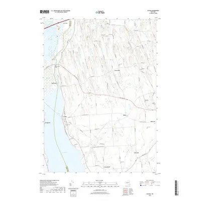
 2010 Scipio Center2010 Print · USGSCovers Fleming, including Owasco, Ledyard, and other nearby areas
 - 2013 Map of Auburn, 2013 Print
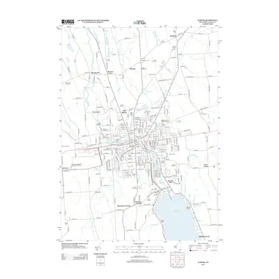 2013 Auburn2013 Print · USGSCovers Fleming, including Auburn, Owasco, and other nearby areas
 - 2013 Map of Union Springs, 2013 Print
 2013 Union Springs2013 Print · USGSCovers Fleming, including Fayette, Romulus, and other nearby areas
 - 2013 Map of Scipio Center, 2013 Print
 2013 Scipio Center2013 Print · USGSCovers Fleming, including Owasco, Ledyard, and other nearby areas
 - 2013 Map of Cayuga, 2013 Print
 2013 Cayuga2013 Print · USGSCovers Fleming, including Seneca Falls, Fayette, and other nearby areas
 - 2016 Map of Union Springs, 2016 Print
 2016 Union Springs2016 Print · USGSCovers Fleming, including Fayette, Romulus, and other nearby areas
 - 2016 Map of Scipio Center, 2016 Print
 2016 Scipio Center2016 Print · USGSCovers Fleming, including Owasco, Ledyard, and other nearby areas
 - 2016 Map of Cayuga, 2016 Print
 2016 Cayuga2016 Print · USGSCovers Fleming, including Seneca Falls, Fayette, and other nearby areas
 - 2016 Map of Auburn, 2016 Print
 2016 Auburn2016 Print · USGSCovers Fleming, including Auburn, Owasco, and other nearby areas
 - 2019 Map of Auburn, 2019 Print
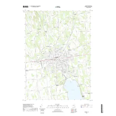 2019 Auburn2019 Print · USGSCovers Fleming, including Auburn, Owasco, and other nearby areas
 - 2019 Map of Scipio Center, 2019 Print
 2019 Scipio Center2019 Print · USGSCovers Fleming, including Owasco, Ledyard, and other nearby areas
 - 2019 Map of Union Springs, 2019 Print
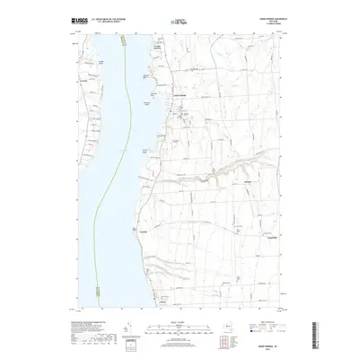 2019 Union Springs2019 Print · USGSCovers Fleming, including Fayette, Romulus, and other nearby areas
 - 2019 Map of Cayuga, 2019 Print
 2019 Cayuga2019 Print · USGSCovers Fleming, including Seneca Falls, Fayette, and other nearby areas
 - 2023 Map of Cayuga, 2023 Print
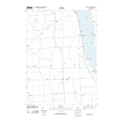
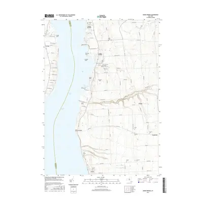
 2023 Cayuga2023 Print · USGSThe eastern shore of Cayuga Lake and the Montezuma Marsh are captured here in the early twenty-first century. Genealogists can locate family landmarks like Maycumber Family Cem and Lakeview Cem or trace the early water routes near Mud Lock.
 - 2023 Map of Union Springs, 2023 Print
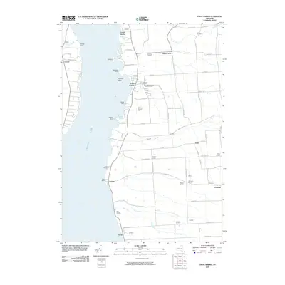
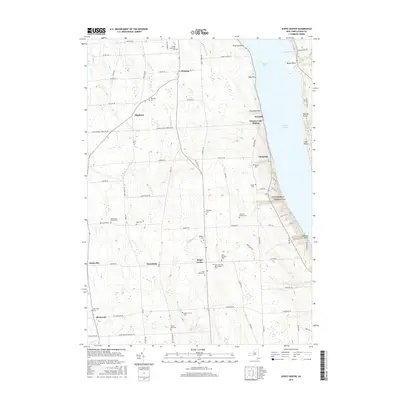
 2023 Union Springs2023 Print · USGSThe eastern shore of Cayuga Lake comes into focus in this contemporary survey of the Finger Lakes region. Genealogists can locate family sites across several lakefront villages and rural burial grounds like Saint Patricks Cem, Levanna, and Old Quaker Cem.
 - 2023 Map of Auburn, 2023 Print
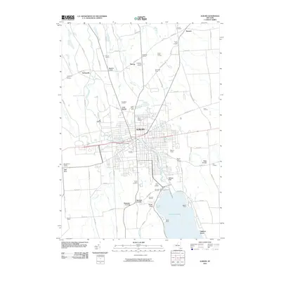
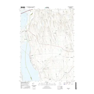
 2023 Auburn2023 Print · USGSAuburn and the northern reaches of Owasco Lake are shown in this recent survey, capturing the region's deep historical layers. Researchers can trace family sites at Farmer Family Cem or visit the notable Harriet Tubman National Historical Park.
 - 2023 Map of Scipio Center, 2023 Print
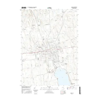
 2023 Scipio Center2023 Print · USGSCayuga County’s rural uplands and the western shores of Owasco Lake are documented here in recent detail. Genealogists can trace family footprints across numerous sites like Gould-Akin Cem and the small hamlet of Owasco Lake Station.
End of results
Showing maps 1-20 of 20
Top cities near Fleming
- Auburn historical maps
- Camillus historical maps
- Lysander historical maps
- Van Buren historical maps
- Seneca Falls historical maps
- Skaneateles historical maps
See more
Top neighborhoods of Fleming
- Wyckoff historical maps
- Sherlock Corners historical maps
- Shumaker Crossing historical maps
- Mapleton historical maps
- Owasco Lake Station historical maps
Frequently asked questions
- What are the different types of historical maps available for Fleming?
- What is the oldest map of Fleming?
- Where can I purchase historical maps of Fleming for my home or office?
- Where can I download high-res historical maps of Fleming?
- Are there historical topographic maps available for Fleming?
- Is there historical aerial imagery available for Fleming?
- Where are historical maps of Fleming sourced from?