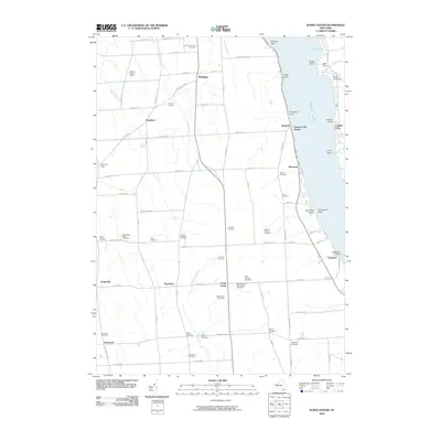
2010 Map of Scipio Center
USGS Topo · Published 2010About this map
Owasco Lake dominates the eastern edge of this landscape, its shoreline defined by numerous points including Plunckett Point and Peterson Point. The interior reveals a high density of ancestral burial grounds, such as the Manchester Family Cemetery, Arnold-Comstock Cemetery, and Saint Bernard's Old Catholic Cemetery, reflecting a deep history of family settlement in Cayuga County. The agricultural grid is punctuated by small crossroads and stations, from Scipio Center to Owasco Lake Station.
Find a feature on this map
71 named features on this map. Tap any name to fly to it.
Don’t see what you’re looking for? This feature index may not catch every label — zoom into the map to look around manually.
Map Details
Editions of this 2010 Scipio Center Map
This is the sole edition of this map. No revisions or reprints were ever made.
Other maps of this area

1898 · Moravia
USGS Topo · 1:62,500

1899 · Auburn
USGS Topo · 1:62,500

1899 · Skaneateles
USGS Topo · 1:62,500

1902 · Skaneateles
USGS Topo · 1:62,500

1902 · Moravia
USGS Topo · 1:62,500

1902 · Genoa
USGS Topo · 1:62,500

1902 · Auburn
USGS Topo · 1:62,500

1942 · Sheldrake
USGS Topo · 1:24,000

1942 · Genoa
USGS Topo · 1:24,000

1943 · Moravia
USGS Topo · 1:31,680