
1943 Map of Moravia
USGS Topo · Published 1943About this map
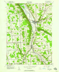
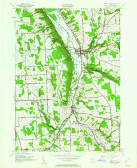
Owasco Inlet carves through the landscape of southern Cayuga County, defining the central axis of the Owasco Valley during this early 1940s survey. The village of Moravia serves as the primary hub, where Mill Creek meets the valley floor and the Lehigh Valley railroad line parallels the water. To the east, the terrain rises sharply toward Montville, home to Montville Falls and the St Patricks Cem, while the deep ravines of Fillmore Glen State Park show the dramatic geological erosion characteristic of the Finger Lakes region. Rural life is anchored by a dense network of numbered schools, including School No 8 and School No 4, and small crossroads settlements like Locke and Satterly Corners. Evidence of early history is found at the Indian Mound near Sylvan Lake, while family-named corners such as Rafferty Corners and Perkins Corners mark the enduring legacy of local landowners.
Find a feature on this map
58 named features on this map. Tap any name to fly to it.
Don’t see what you’re looking for? This feature index may not catch every label — zoom into the map to look around manually.
Map Details
Editions of this 1943 Moravia Map
3 editions found
Other maps of this area

1898 · Moravia
USGS Topo · 1:62,500

1899 · Auburn
USGS Topo · 1:62,500

1899 · Skaneateles
USGS Topo · 1:62,500

1902 · Skaneateles
USGS Topo · 1:62,500

1902 · Moravia
USGS Topo · 1:62,500

1902 · Genoa
USGS Topo · 1:62,500

1902 · Auburn
USGS Topo · 1:62,500

1942 · Ludlowville
USGS Topo · 1:24,000

1942 · Groton
USGS Topo · 1:24,000

1942 · Genoa
USGS Topo · 1:24,000