Old Maps of Moravia, New York for Genealogy
Trace your family roots with 39 historic maps of Moravia. These high-res maps reveal old neighborhoods, homesites, landmarks, and streets — helping you uncover where your ancestors lived and how the area evolved over time.
- Explore historic neighborhoods: Identify where your relatives may have lived in the 1800s or 1900s.
- Compare maps over time: Trace the changes in streets, buildings, and landmarks for multi-generational research.
- Perfect for genealogy & ancestry research: Used by family historians and researchers to map out lineage and migration.
These maps are an incredible resource for exploring your personal connection to Moravia's past.
Moravia, NY maps
(39)- 1898 Map of Moravia
 1898 Moravia1898 Print · USGSCentral New York at the close of the nineteenth century is captured here as a landscape of valley railroads and hilltop hamlets. You can trace the Lehigh Valley line through Moravia, find family land near Benson Corners, or locate Morse Mill and Lake Como.
 - 1899 Map of Skaneateles
 1899 Skaneateles1899 Print · USGSThe Finger Lakes at the end of the nineteenth century reveal a landscape of lakeside steamboat landings and bustling mill towns. Follow the Steamboat Route from Skaneateles to Glen Haven, or trace the rural roads connecting Marysville, Borodino, and Marcellus.
 - 1902 Map of Skaneateles
 1902 Skaneateles1902 Print · USGSOnondaga and Cayuga counties come alive in the Victorian era as a network of steamboats and short-line railroads connects lakeside hamlets. Trace ancestral roots and old transport routes through Mottville, the Skaneateles RR, and remote landings like Gregory Ldg.9 unique versions available
 - 1902 Map of Moravia
 1902 Moravia1902 Print · USGSThe rural landscapes of Cayuga and Tompkins counties are captured here at the start of the twentieth century, when small hamlets thrived along the rail lines. Genealogists can trace family names and vanished post offices at Goosetree, Morse Mill, and Grotto.7 unique versions available
 - 1943 Map of Moravia
 1943 Moravia1943 Print · USGSSouthern Cayuga County's valley farms and steep ravines are captured here in the early 1940s, centered on the village of Moravia. Genealogists can trace family connections through numerous landmarks like Baker Cem, Wilson Corners, and a dozen district schools including School No 9.3 unique versions available
 - 1943 Map of Spafford
 1943 Spafford1943 Print · USGSThe steep shorelines of Skaneateles and Otisco Lakes appear here during the mid-1940s. Genealogists and local historians can trace family locations through numerous named cemeteries like Kelloggsville Cem and schools such as School No 7.
 - 1943 Map of Owasco
 1943 Owasco1943 Print · USGSThe Finger Lakes uplands between Owasco Lake and Skaneateles Lake are captured here during the mid-century. Researchers can trace numerous family-named landmarks and rural burial grounds like Owasco Rural Cem, Valentine Corners, and Frozen Ocean.2 unique versions available
 - 1943 Map of Sempronius, 1953 Print
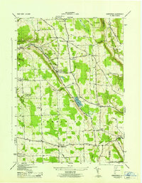 1943 Sempronius1953 Print · USGSThe rural uplands of Cayuga County come alive in this wartime survey of the Finger Lakes region. Genealogists and local historians can locate several district schools and family landmarks like Morse Mill, Lake Como, and Sand Hill Cem.2 unique versions available
 - 1949 Map of Moravia
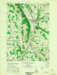 1949 Moravia1949 Print · USGSThe Finger Lakes uplands around Moravia and Locke are shown here in the late 1940s as a landscape of rural schoolhouses and valleys. Researchers can trace the Lehigh Valley rail line and locate ancestral sites like St Patricks Ch or the Monaghan Cem.
 - 1950 Map of Elmira
 1950 Elmira1950 Print · USGSThe Finger Lakes region thrived in the late 1940s as a hub of industry and transport. Trace family roots and vanished landmarks near Seneca Lake or explore the rail lines of the Erie RR and the sprawling Seneca Ordnance Depot.2 unique versions available
 - 1955 Map of Spafford, 1957 Print
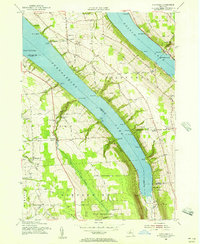 1955 Spafford1957 Print · USGSThe high ridges between Skaneateles and Otisco Lakes are captured here in the mid-fifties as reforestation efforts began reclaiming former farmland. Genealogists and researchers can trace the locations of Borodino Cem, Gamble Mill, and several historic schoolhouses.2 unique versions available
 - 1955 Map of Skaneateles, 1957 Print
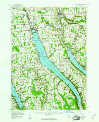 1955 Skaneateles1957 Print · USGSThe Finger Lakes region of Central New York is shown here in the mid-fifties, centered on the deep waters of Skaneateles Lake. Researchers can trace the industrial Skaneateles Short Line Railroad or locate local landmarks like Twelve Corners Sch and St Marys Cem.2 unique versions available
 - 1955 Map of Owasco, 1957 Print
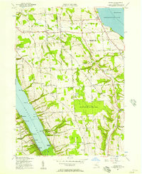 1955 Owasco1957 Print · USGSThe Finger Lakes uplands of Cayuga County are captured here in the mid-1950s, stretching between the shores of Owasco Lake and Skaneateles Lake. Genealogists can trace early family sites at Globe Hotel Corners and several rural burial grounds like Conklin Cemetery and Twelve Corners Cemetery.3 unique versions available
 - 1958 Map of Elmira
 1958 Elmira1958 Print · USGSThe New York Finger Lakes during the late fifties reveal a complex landscape of glacial geology and industrial growth. Researchers can trace historic transport corridors like the Erie Canal and Erie RR, or locate institutional landmarks like Cornell University.2 unique versions available
 - 1962 Map of Elmira, 1969 Print
 1962 Elmira1969 Print · USGSThe Finger Lakes region and Southern Tier are captured here during a period of industrial maturity and highway expansion. Researchers can trace the path of the Erie Canal, the footprint of the Seneca Army Depot, and legacy rail lines through Elmira and Ithaca.4 unique versions available
 - 1965 Map of Elmira
 1965 Elmira1965 Print · USGSThe Finger Lakes and Southern Tier regions are captured in the mid-sixties, showcasing a landscape of deep glacial valleys and heavy rail infrastructure. Trace old railroad corridors like the Pennsylvania RR or visit landmarks like Letchworth State Park and the Seneca Army Depot.
 - 1971 Map of Sempronius, 1974 Print
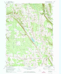 1971 Sempronius1974 Print · USGSThe hills along the Cayuga and Cortland county line in the early seventies remain a landscape of deep gulfs and upland forests. Genealogists and hikers can trace the original locations of Morse Mill, Summer Hill Ch, and the Lickville Cem.
 - 1971 Map of Moravia, 1974 Print
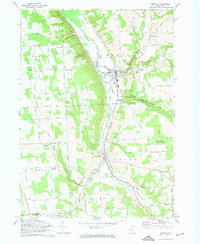 1971 Moravia1974 Print · USGSSouthern Cayuga County in the early 1970s is defined by the steep valley of the Owasco Inlet and its vital rail corridor. Genealogists can trace family names at Indian Mound Cem or explore historic centers like Moravia and Locke.2 unique versions available
 - 1986 Map of Auburn
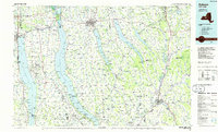 1986 Auburn1986 Print · USGSThe Finger Lakes region in the mid-eighties shows a landscape of deep glacial waters and significant military sites. Trace the layout of the Seneca Army Depot, find the campus of Wells College, and follow the historic Lehigh Valley RR lines.2 unique versions available
 - 2010 Map of Owasco, 2010 Print
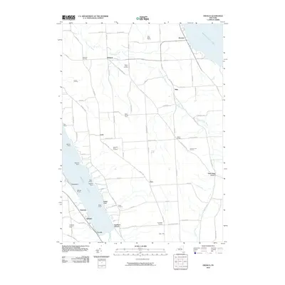 2010 Owasco2010 Print · USGSOwasco and the high ground between two Finger Lakes are captured here in the early twenty-first century. Genealogists can trace family plots at West Niles Rural Cemetery and Hewitt Cemetery or locate old junctions like Globe Hotel Corners.
 - 2010 Map of Sempronius, 2010 Print
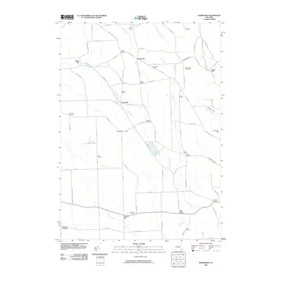 2010 Sempronius2010 Print · USGSThe rural uplands of Cortland County are documented here in the early twenty-first century, featuring the deep ravines and dispersed hamlets of the Finger Lakes region. Researchers can locate many ancestral burial sites such as Lickville Cemetery and trace old milling sites like Morse Mill.
 - 2010 Map of Spafford, 2010 Print
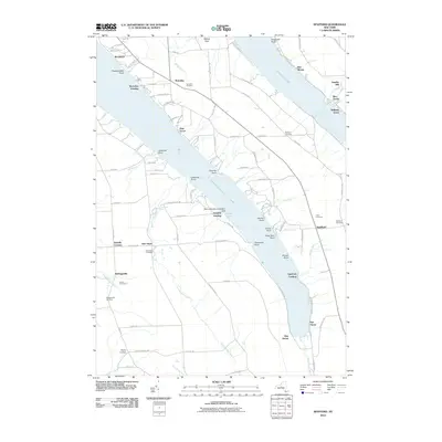 2010 Spafford2010 Print · USGSThe Finger Lakes region of New York is shown here in the early twenty-first century, spanning the elevated terrain between two glacial lakes. Genealogists can locate family sites at Borodino Cemetery and New Hope Cemetery or trace the early industrial roots of Gamble Mill.
 - 2011 Map of Moravia, 2011 Print
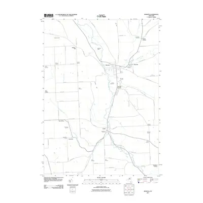 2011 Moravia2011 Print · USGSThe Finger Lakes region south of Owasco Lake is captured here in the early 2000s, showing a landscape defined by valley settlements and upland farms. Researchers can trace numerous family and community burial grounds, such as Indian Mound Cemetery and Old Quaker Cemetery, or locate rural landmarks like Toll Gate Corners.
 - 2013 Map of Owasco, 2013 Print
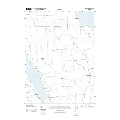 2013 Owasco2013 Print · USGSSkaneateles and Owasco Lakes frame this New York landscape during the early twenty-first century. Genealogists can locate several family and community burial sites, including the Humphrey Howland Burial and Twelve Corners Cem, or trace properties near Twin Birch Farms.
 - 2013 Map of Sempronius, 2013 Print
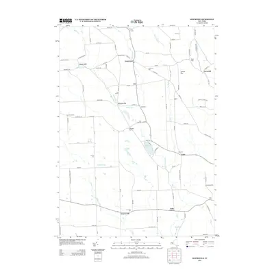 2013 Sempronius2013 Print · USGSThe rural uplands of Cortland and Cayuga counties are captured here in the early twenty-first century. Genealogists and local historians can locate several family burial grounds, including Searles Cem and Hinman Cem, alongside historic mill sites like Morse Mill.
Showing maps 1-25 of 39
Top cities near Moravia
- Auburn historical maps
- Onondaga historical maps
- Cortland historical maps
- Dryden historical maps
- Lansing historical maps
- Cortlandville historical maps
See more
Top neighborhoods of Moravia
- Montville historical maps
- Owasco Hill historical maps
- Indian Cove historical maps
- Southeast Owasco historical maps
- Toll Gate Corners historical maps
- Wilson Corners historical maps
See more
Frequently asked questions
- What are the different types of historical maps available for Moravia?
- What is the oldest map of Moravia?
- Where can I purchase historical maps of Moravia for my home or office?
- Where can I download high-res historical maps of Moravia?
- Are there historical topographic maps available for Moravia?
- Is there historical aerial imagery available for Moravia?
- Where are historical maps of Moravia sourced from?