Old Maps of Ellington, New York for Hiking & Exploration
Hike through history with 34 historic maps of Ellington. Explore old trails, ghost towns, and forgotten backroads — perfect for outdoor adventurers and local explorers.
- Rediscover forgotten places: Map out old mining camps, roads, and footpaths that no longer exist on modern maps.
- Layer with modern tools: Combine with LiDAR or satellite views to plan hikes through historical terrain.
- Made for exploration: Popular among hikers, overlanders, and local history lovers.
Use these maps to find adventure and explore the hidden past of Ellington.
Ellington, NY maps
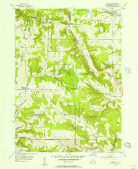
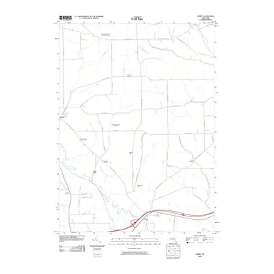
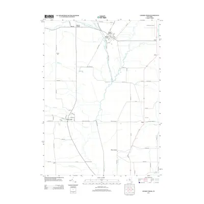
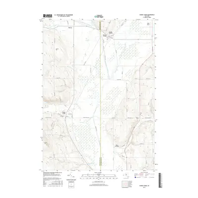
(34)- 1900 Map of Cherry Creek
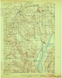 1900 Cherry Creek1900 Print · USGSWestern New York near the turn of the century shows a landscape of developing rail hubs and managed wetlands. Genealogists can trace family roots through settlements like Forestville, South Dayton, and Leon, or locate vanished stations like Smiths Mills Sta. and the rural crossroads at Charlotte Center.6 unique versions available
 - 1905 Map of Jamestown
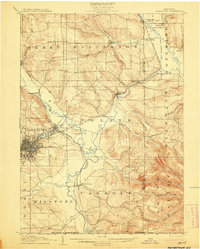 1905 Jamestown1905 Print · USGSJamestown and the surrounding Chautauqua County valleys are captured here at the start of the twentieth century. Researchers can trace early rail corridors like the Erie R.R. and locate family-named landmarks in Frewsburg, Ellington, and Kiantone.5 unique versions available
 - 1941 Map of Cherry Creek
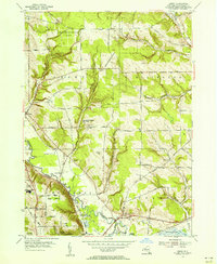
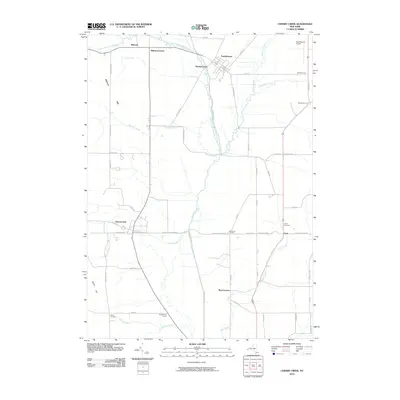
 1941 Cherry Creek1941 Print · USGSChautauqua and Cattaraugus counties are captured here at the dawn of the 1940s, when the Erie railroad still bound these rural townships together. Genealogists can trace family footprints through numerous small villages like Forestville, South Dayton, and Charlotte Center.
 - 1942 Map of Jamestown
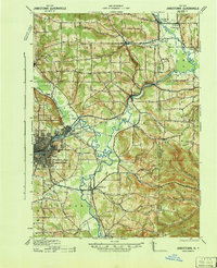 1942 Jamestown1942 Print · USGSJamestown and the Chautauqua County interior are captured here in the early 1940s, showing a landscape defined by industry and deep-set river valleys. Genealogists can trace family roots in old settlements like Frewsburg, Gerry, and the Rutledge Conewango PO.
 - 1954 Map of Kennedy, 1955 Print
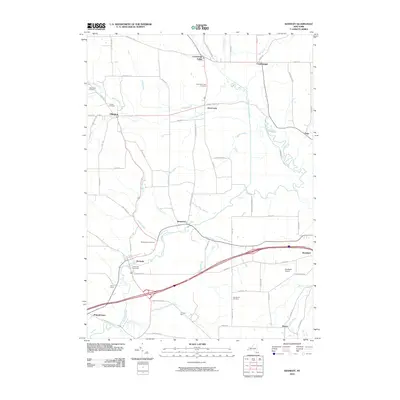
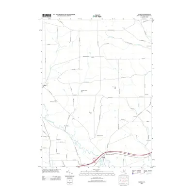
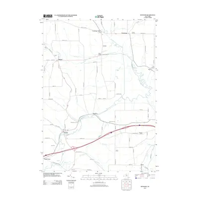
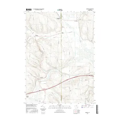
 1954 Kennedy1955 Print · USGSThe Chautauqua and Cattaraugus county line comes alive in the mid-fifties, showing a landscape shaped by the Erie RR and Conewango Creek. Researchers can trace ancestral locations like Schermerhorn Corners, Poland Center, and several old burial grounds including Pioneer Cem.3 unique versions available
 - 1954 Map of Hamlet, 1956 Print
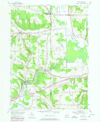
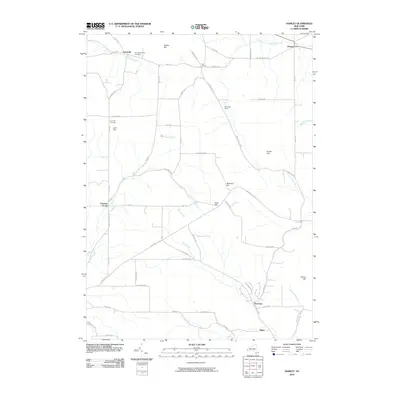
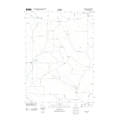
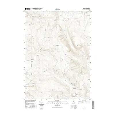
 1954 Hamlet1956 Print · USGSChautauqua County's rural townships and reforestation areas are documented here in the mid-fifties. Researchers can locate small communities like Sinclairville and Hamlet, alongside family landmarks such as Luce Hill Cem and Burnham Hollow.2 unique versions available
 - 1954 Map of Gerry, 1956 Print
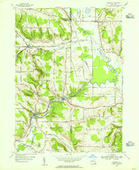
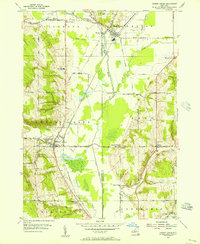
 1954 Gerry1956 Print · USGSThe townships of Gerry and Ellington are captured here in the mid-1950s as traditional farming landscapes met postwar growth. Genealogists can trace family landmarks like Ross Mills Cem, Dean Sch, and the old Erie RR line.4 unique versions available
 - 1954 Map of Cherry Creek, 1956 Print
 1954 Cherry Creek1956 Print · USGSMid-century Chautauqua and Cattaraugus Counties are captured here just as the rural school system and railroad economy were consolidating. Researchers can locate family landmarks at Kings School Corner, trace the Erie RR through South Dayton, or find the Union Cem near Leon.3 unique versions available
 - 1960 Map of Buffalo
 1960 Buffalo1960 Print · USGSWestern New York and the Niagara Peninsula thrive during the mid-twentieth century industrial peak. Genealogists and historians can trace family-named points and early settlements from Dunkirk Light to the Allegany Indian Reservation.
 - 1962 Map of Buffalo, 1980 Print
 1962 Buffalo1980 Print · USGSThe Niagara Frontier and Western New York are captured here in the early sixties, showing the vital industrial and maritime nexus between the U.S. and Canada. Researchers can trace the path of the Welland Canal, locate the Allegany Indian Reservation, or find family sites near Chautauqua Lake.2 unique versions available
 - 1967 Map of Buffalo
 1967 Buffalo1967 Print · USGSWestern New York and the Lake Erie shoreline are shown here during the mid-1960s industrial peak. Researchers can trace the massive rail networks of the Erie Railroad, locate the Cattaraugus Indian Reservation, or find historic sites like Fort Erie.
 - 1973 Map of Buffalo
 1973 Buffalo1973 Print · USGSWestern New York and Ontario's Golden Horseshoe meet in the early seventies, spanning from the industrial waterfronts of Buffalo to the hills of Allegany State Park. Trace the paths of the Welland Canal and Erie Lackawanna railroad through the lakefront towns of Dunkirk and Port Colborne.
 - 1979 Map of Kennedy, 1980 Print
 1979 Kennedy1980 Print · USGSChautauqua and Cattaraugus counties come alive in the late seventies as the Conrail line and meandering creeks connect rural villages. Genealogists and historians can trace family locations at Riverside Cem or explore the old station at Conewango Valley.
 - 1986 Map of Jamestown
 1986 Jamestown1986 Print · USGSChautauqua County and the Lake Erie shoreline are captured in the mid-eighties as the region balanced its industrial rail hubs with lakeside culture. Local historians can trace the grounds of the Chautauqua Institution, the expansion of Jamestown, and rural landmarks like Sunset Hill Cemetery.2 unique versions available
 - 2010 Map of Gerry, 2010 Print
 2010 Gerry2010 Print · USGSCovers Ellington, including Jamestown, Ellicott, and other nearby areas
 - 2010 Map of Cherry Creek, 2010 Print
 2010 Cherry Creek2010 Print · USGSCovers Ellington, including Conewango, Dayton, and other nearby areas
 - 2010 Map of Kennedy, 2010 Print
 2010 Kennedy2010 Print · USGSCovers Ellington, including Randolph, Poland, and other nearby areas
 - 2010 Map of Hamlet, 2010 Print
 2010 Hamlet2010 Print · USGSCovers Ellington, including Gerry, Charlotte, and other nearby areas
 - 2013 Map of Gerry, 2013 Print
 2013 Gerry2013 Print · USGSCovers Ellington, including Jamestown, Ellicott, and other nearby areas
 - 2013 Map of Hamlet, 2013 Print
 2013 Hamlet2013 Print · USGSCovers Ellington, including Gerry, Charlotte, and other nearby areas
 - 2013 Map of Cherry Creek, 2013 Print
 2013 Cherry Creek2013 Print · USGSCovers Ellington, including Conewango, Dayton, and other nearby areas
 - 2013 Map of Kennedy, 2013 Print
 2013 Kennedy2013 Print · USGSCovers Ellington, including Randolph, Poland, and other nearby areas
 - 2016 Map of Cherry Creek, 2016 Print
 2016 Cherry Creek2016 Print · USGSCovers Ellington, including Conewango, Dayton, and other nearby areas
 - 2016 Map of Kennedy, 2016 Print
 2016 Kennedy2016 Print · USGSCovers Ellington, including Randolph, Poland, and other nearby areas
 - 2016 Map of Hamlet, 2016 Print
 2016 Hamlet2016 Print · USGSCovers Ellington, including Gerry, Charlotte, and other nearby areas
Showing maps 1-25 of 34
Top cities near Ellington
- Jamestown historical maps
- Pomfret historical maps
- Fredonia historical maps
- Ellicott historical maps
- Busti historical maps
- Hanover historical maps
See more
Top neighborhoods of Ellington
Frequently asked questions
- What are the different types of historical maps available for Ellington?
- What is the oldest map of Ellington?
- Where can I purchase historical maps of Ellington for my home or office?
- Where can I download high-res historical maps of Ellington?
- Are there historical topographic maps available for Ellington?
- Is there historical aerial imagery available for Ellington?
- Where are historical maps of Ellington sourced from?