1940s Maps of North Norwich, New York
Explore 11 historic maps of North Norwich from the 1940s. These maps offer a rare glimpse into what life looked like during the 1940s — showing old roads, neighborhoods, homes, and landmarks that have changed or disappeared over time.
Whether you're researching your family's past, planning a metal detecting trip, or studying how North Norwich's landscape evolved across the 1940s, these high-resolution maps are a powerful tool for exploring the history of this region.
- Focus on a specific era: All maps on this page are from the 1940s, giving you a focused view of this time period.
- See what’s changed: Compare century-old streets, trails, and buildings to today's modern landscape using overlays and satellite layers.
- Research with precision: Use these maps for genealogy, historical research, land use analysis, or educational projects.
- View, download, or print: Maps are fully viewable online in high resolution, and can be downloaded or printed for your own records.
Start exploring North Norwich's history through authentic maps from the 1940s. This is your window into the past.
North Norwich, NY maps
(11)- 1943 Map of Holmesville, 1960 Print
 1943 Holmesville1960 Print · USGSChenango County's eastern river valleys and upland settlements are captured here during the 1940s. Genealogists and local historians can trace the rural landscape between South New Berlin and Holmesville, locating small burial grounds like Bloom Cem and old landmarks like the Lookout Tower.4 unique versions available
 - 1943 Map of Norwich, 1960 Print
 1943 Norwich1960 Print · USGSChenango County enters the mid-century as a hub of river-valley transport and upland farming, captured here just as the local rail network remained a fixture. Researchers can trace family plots at Packer-Mason Cem, locate the former County Home, or follow the New York Ontario and Western line through North Norwich.2 unique versions available
 - 1943 Map of Sherburne, 1960 Print
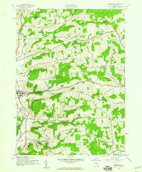 1943 Sherburne1960 Print · USGSChenango County agriculture and small-town life are documented here during the early 1940s. Genealogists can locate family landmarks such as Tillotson Cem, East Hill Cem, and the numerous rural schoolhouses serving the Sherburne and Columbus districts.4 unique versions available
 - 1943 Map of Earlville, 1960 Print
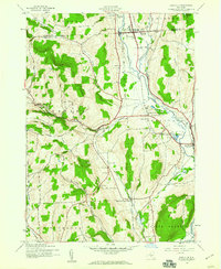 1943 Earlville1960 Print · USGSChenango and Madison counties are captured here during the mid-forties, showing the vital rail corridor through the Chenango River valley. Genealogists can trace family names and rural locations like Smyrna, Quaker Cem, and the abandoned path of the Chenango Canal.2 unique versions available
 - 1943 Map of Norwich, 1975 Print
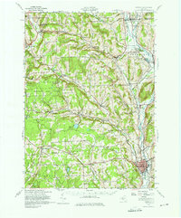 1943 Norwich1975 Print · USGSChenango County and the Chenango River valley are captured here in the 1940s, a time when rail travel still defined the region's economy. Genealogists can trace family names through dozens of rural landmarks, including Maple Grove Cem, Quaker Ch, and numerous numbered schoolhouses like School No 12.
 - 1944 Map of Earlville
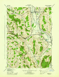 1944 Earlville1944 Print · USGSChenango County's river valley and uplands are captured during the mid-forties as a landscape of rail-connected villages and small rural school districts. Genealogists can locate family landmarks like Wilcox Cem, tracing the paths between Earlville, Smyrna, and the Rogers State Game Farm.
 - 1944 Map of Norwich
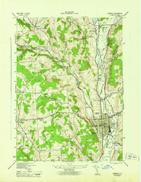 1944 Norwich1944 Print · USGSThe Chenango River valley in the 1940s was a critical rail corridor defined by the crossing of the New York Ontario and Western RR. Researchers can trace old family burial grounds like Harris Cem and identify numerous rural school sites from South Plymouth to Polkville.2 unique versions available
 - 1944 Map of Norwich, 1960 Print
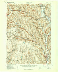 1944 Norwich1960 Print · USGSChenango County communities thrive along the river and rail lines during the mid-forties. Genealogists can locate family sites near Otselic Church, Preston Center, and several rural burial grounds like Slater Cem.2 unique versions available
 - 1945 Map of Sherburne
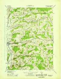 1945 Sherburne1945 Print · USGSChenango County and the Chenango River valley appear here during the mid-forties, capturing a landscape of upland farms and valley commerce. Researchers can trace the Abandoned Chenango Canal near Sherburne or locate old schoolhouses and cemeteries like Tillotson Cem and School No 13.
 - 1945 Map of Holmesville
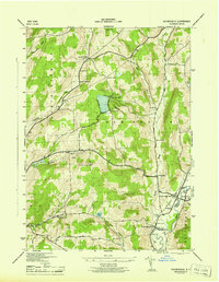 1945 Holmesville1945 Print · USGSDuring the mid-1940s, this area of the Southern Tier centered on the river-fed valleys of the Unadilla River. Researchers can trace old family lines at Bloom Cem, locate the village of South New Berlin, or find the Union Ch at Springvale.
 - 1948 Map of Binghamton, 1980 Print
 1948 Binghamton1980 Print · USGSCentral New York and the Southern Tier thrive in the late 1940s as a hub of rail traffic and mountain industry. Researchers can trace historic transit lines like the Erie Railroad through Binghamton or find old valley settlements near Oneonta and Delhi.
End of results
Showing maps 1-11 of 11
Top cities near North Norwich
- Norwich historical maps
- Hamilton historical maps
- Greene historical maps
- Eaton historical maps
- Unadilla historical maps
- Hamilton historical maps
See more
Top neighborhoods of North Norwich
Frequently asked questions
- What are the different types of historical maps available for North Norwich?
- What is the oldest map of North Norwich?
- Where can I purchase historical maps of North Norwich for my home or office?
- Where can I download high-res historical maps of North Norwich?
- Are there historical topographic maps available for North Norwich?
- Is there historical aerial imagery available for North Norwich?
- Where are historical maps of North Norwich sourced from?