Old Maps of Preston, New York
Explore 39 old maps of Preston, spanning from 1902 to today. These high-resolution historic maps reveal how streets, neighborhoods, landmarks, and natural features evolved over time — perfect for genealogy, metal detecting, research, and local history exploration.
What you can do with these maps:
- See how Preston changed over time: Compare historical maps to modern-day views to trace roads, homesites, rail lines & more.
- View detailed metadata: Each map includes creators, publishers, year, scale, and archive source.
- Overlay maps with satellite & LiDAR: Visualize the past alongside modern tools to explore terrain & human change.
- Trusted historical sources: Maps sourced from the USGS, Library of Congress, and other archives.
- Access maps your way: View online, download high-res files, or order prints for personal or research use.
Start exploring old maps of Preston to uncover forgotten places, hidden landmarks, and the deep history beneath your feet.
Preston, NY maps
(39)- 1902 Map of Coventry
 1902 Coventry1902 Print · USGSChenango County at the start of the twentieth century was a landscape of hilltop farms and busy valley rail towns. Researchers can trace ancestral roots in Oxford, Coventry, and Brisben or locate family lands along Genegantslet Creek.2 unique versions available
 - 1903 Map of Norwich
 1903 Norwich1903 Print · USGSChenango County at the dawn of the twentieth century was defined by the busy river valleys and rail lines connecting Norwich to Earlville. Researchers can trace the path of the N. Y. O. & W. R. R. through Sherburne Four Corners or locate family-named sites like Irelands Mills and Woods Corners.5 unique versions available
 - 1904 Map of Oxford
 1904 Oxford1904 Print · USGSChenango County communities thrive along the river and rail corridors of the early twentieth century. Researchers can trace family homesteads near Oxford, locate Robinson Mill, or follow the routes of the New York Ontario and Western RR.5 unique versions available
 - 1943 Map of Norwich, 1960 Print
 1943 Norwich1960 Print · USGSChenango County enters the mid-century as a hub of river-valley transport and upland farming, captured here just as the local rail network remained a fixture. Researchers can trace family plots at Packer-Mason Cem, locate the former County Home, or follow the New York Ontario and Western line through North Norwich.2 unique versions available
 - 1943 Map of East Pharsalia, 1960 Print
 1943 East Pharsalia1960 Print · USGSChenango County's rural townships are shown here during the early war years, when small settlements and upland farms defined the landscape. Genealogists can trace family connections through local landmarks like Frink Cem, Rogers Cem, and various district schools like School No 10.3 unique versions available
 - 1943 Map of Norwich, 1975 Print
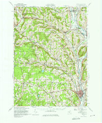 1943 Norwich1975 Print · USGSChenango County and the Chenango River valley are captured here in the 1940s, a time when rail travel still defined the region's economy. Genealogists can trace family names through dozens of rural landmarks, including Maple Grove Cem, Quaker Ch, and numerous numbered schoolhouses like School No 12.
 - 1944 Map of Norwich
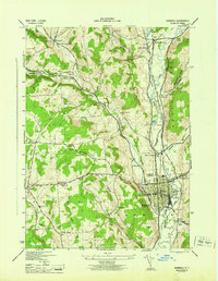 1944 Norwich1944 Print · USGSThe Chenango River valley in the 1940s was a critical rail corridor defined by the crossing of the New York Ontario and Western RR. Researchers can trace old family burial grounds like Harris Cem and identify numerous rural school sites from South Plymouth to Polkville.2 unique versions available
 - 1944 Map of East Pharsalia
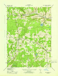 1944 East Pharsalia1944 Print · USGSChenango County's upland hamlets and state conservation lands are shown here in the mid-1940s. Researchers can trace rural school districts and family burial sites like Frink Cem or explore the early bounds of the Pharsalia Game Refuge.
 - 1944 Map of Norwich, 1960 Print
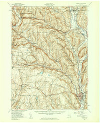 1944 Norwich1960 Print · USGSChenango County communities thrive along the river and rail lines during the mid-forties. Genealogists can locate family sites near Otselic Church, Preston Center, and several rural burial grounds like Slater Cem.2 unique versions available
 - 1948 Map of Binghamton, 1980 Print
 1948 Binghamton1980 Print · USGSCentral New York and the Southern Tier thrive in the late 1940s as a hub of rail traffic and mountain industry. Researchers can trace historic transit lines like the Erie Railroad through Binghamton or find old valley settlements near Oneonta and Delhi.
 - 1949 Map of Tyner, 1963 Print
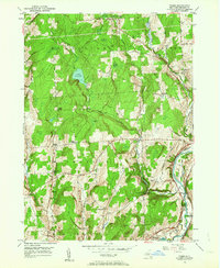 1949 Tyner1963 Print · USGSChenango County's upland ridges and river valleys are captured here in the late 1940s as rural life centered on small corners and rail stops. You can trace the Abandoned Canal along the Chenango River or locate family burial sites like Loomis Cem and Moore Cem.3 unique versions available
 - 1949 Map of Oxford, 1967 Print
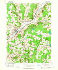 1949 Oxford1967 Print · USGSChenango River valley life in the late 1940s centers on the busy rail and river hub of Oxford. Trace the transition from water to rail travel along the Abandoned Canal and find local landmarks like the Womans Relief Corps Home and Gospel Hill Ch.
 - 1950 Map of Binghamton
 1950 Binghamton1950 Print · USGSBinghamton and the surrounding Southern Tier are shown in the mid-century era, highlighting the intricate rail and river networks that drove local industry. Researchers can trace the path of the Erie Railroad and locate landmarks from Otsego Lake to Sidney Mountain.2 unique versions available
 - 1951 Map of Tyner
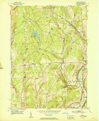 1951 Tyner1951 Print · USGSThe Chenango River valley in the early fifties shows a landscape of rural hamlets and deep-rooted family history. You can trace the path of the Abandoned Canal and find numerous family-named burial sites like Moore Cem and Bowles Cem.
 - 1951 Map of Oxford
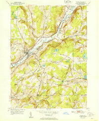 1951 Oxford1951 Print · USGSMid-century Chenango County remains defined by its river valley and the maturing transportation networks of Oxford and its surrounding townships. Researchers can trace rural schoolhouses like School No 13 and old family cemeteries including Mason-Packer Cem.
 - 1958 Map of Binghamton
 1958 Binghamton1958 Print · USGSCentral New York in the late fifties was a network of manufacturing cities and river valleys connected by vital rail lines. Genealogists and historians can trace family roots in Oneonta, Norwich, and Cooperstown or locate long-standing farms along Schoharie Creek.
 - 1963 Map of Binghamton
 1963 Binghamton1963 Print · USGSThe Southern Tier and Catskill peaks are shown in the early sixties as new reservoirs reshaped the valleys. Trace historic rail corridors like the Erie Lackawanna RR and explore lakeside settlements such as Cooperstown and Oneonta.
 - 1985 Map of Binghamton, 1986 Print
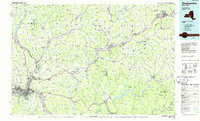 1985 Binghamton1986 Print · USGSThe Southern Tier during the mid-1980s shows a landscape of river-valley industry and expanding university campuses. Genealogists and local historians can trace family roots through riverside towns like Bainbridge, Sidney, and the Calvary Cem in the Binghamton area.2 unique versions available
 - 1986 Map of Norwich
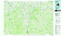 1986 Norwich1986 Print · USGSCentral New York in the mid-eighties was a landscape of deep river valleys and university towns connected by historic rail corridors and state highways. Researchers can trace the rural infrastructure of Norwich and Hamilton, finding landmarks like Colgate University and the Seventh Day Hollow Church.2 unique versions available
 - 2010 Map of Norwich, 2010 Print
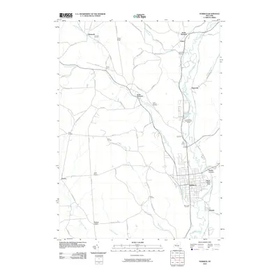 2010 Norwich2010 Print · USGSThe Chenango River valley of central New York comes into focus here during the early twenty-first century. Genealogists and local historians can trace family locations through numerous rural burial grounds like Slater Cemetery and Southside Cemetery, or locate the crossroads of Woods Corners.
 - 2010 Map of Tyner, 2010 Print
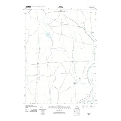 2010 Tyner2010 Print · USGSChenango County rural life is captured here in the early twenty-first century, showing the enduring structure of small crossroads and family cemeteries. Genealogists can trace local heritage through sites like Loomis Cemetery, Tyner, and Smithville Center.
 - 2010 Map of Oxford, 2010 Print
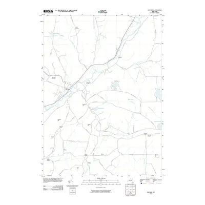 2010 Oxford2010 Print · USGSOxford and the Chenango River valley appear in high detail during the early twenty-first century. Genealogists and local researchers can locate numerous historical burial sites like Van Wagenen Cemetery and Gospel Hill Cemetery alongside named heights like Midland Hill.
 - 2010 Map of East Pharsalia, 2010 Print
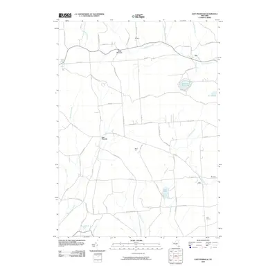 2010 East Pharsalia2010 Print · USGSChenango County's high country is documented here in the early twenty-first century, showing a landscape of forest tracts and rural homesteads. Genealogists and local historians can locate Frink Cemetery or trace old routes like Old CCC Truck Trl and One Eye St.
 - 2013 Map of Tyner, 2013 Print
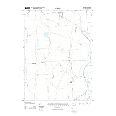 2013 Tyner2013 Print · USGSChenango County's quiet farm country and river valleys are captured here in the early twenty-first century. Genealogists and local historians can trace family-named landmarks and numerous burial sites, including Corbin Cem, Pond Cem, and the settlement at Smithville Center.
 - 2013 Map of Norwich, 2013 Print
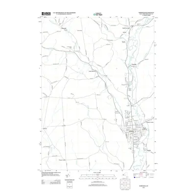 2013 Norwich2013 Print · USGSChenango County enters the twenty-first century with its rural character and river-valley settlements well-preserved. Researchers can trace family history through a dozen burial grounds like Packer Mason Cem, or explore local landmarks from the Lt Warren Eaton Airport to Lambs Quarters Organic Farm.
Showing maps 1-25 of 39
Top cities near Preston
- Norwich historical maps
- Sidney historical maps
- Greene historical maps
- Unadilla historical maps
- Sherburne historical maps
- Sidney historical maps
See more
Top neighborhoods of Preston
Frequently asked questions
- What are the different types of historical maps available for Preston?
- What is the oldest map of Preston?
- Where can I purchase historical maps of Preston for my home or office?
- Where can I download high-res historical maps of Preston?
- Are there historical topographic maps available for Preston?
- Is there historical aerial imagery available for Preston?
- Where are historical maps of Preston sourced from?