Old Maps of Coventry, New York
Explore 34 old maps of Coventry, spanning from 1902 to today. These high-resolution historic maps reveal how streets, neighborhoods, landmarks, and natural features evolved over time — perfect for genealogy, metal detecting, research, and local history exploration.
What you can do with these maps:
- See how Coventry changed over time: Compare historical maps to modern-day views to trace roads, homesites, rail lines & more.
- View detailed metadata: Each map includes creators, publishers, year, scale, and archive source.
- Overlay maps with satellite & LiDAR: Visualize the past alongside modern tools to explore terrain & human change.
- Trusted historical sources: Maps sourced from the USGS, Library of Congress, and other archives.
- Access maps your way: View online, download high-res files, or order prints for personal or research use.
Start exploring old maps of Coventry to uncover forgotten places, hidden landmarks, and the deep history beneath your feet.
Coventry, NY maps
(34)- 1902 Map of Coventry
 1902 Coventry1902 Print · USGSChenango County at the start of the twentieth century was a landscape of hilltop farms and busy valley rail towns. Researchers can trace ancestral roots in Oxford, Coventry, and Brisben or locate family lands along Genegantslet Creek.2 unique versions available
 - 1904 Map of Oxford
 1904 Oxford1904 Print · USGSChenango County communities thrive along the river and rail corridors of the early twentieth century. Researchers can trace family homesteads near Oxford, locate Robinson Mill, or follow the routes of the New York Ontario and Western RR.5 unique versions available
 - 1905 Map of Nineveh
 1905 Nineveh1905 Print · USGSBroome County at the turn of the century shows a landscape dominated by the winding Susquehanna River and vital rail corridors. Genealogists can trace early homesteads and hamlets from Vallonia Springs to Center Village, alongside the path of the Delaware and Hudson railroad.6 unique versions available
 - 1948 Map of Binghamton, 1980 Print
 1948 Binghamton1980 Print · USGSCentral New York and the Southern Tier thrive in the late 1940s as a hub of rail traffic and mountain industry. Researchers can trace historic transit lines like the Erie Railroad through Binghamton or find old valley settlements near Oneonta and Delhi.
 - 1949 Map of Brisben, 1964 Print
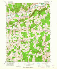 1949 Brisben1964 Print · USGSChenango County in the late 1940s remains a landscape of river-valley rail lines and high-ridge farms. Family historians can trace local roots through landmarks like the Little White Ch, Old Chapel Cem, and rural schoolhouses such as School No 24.2 unique versions available
 - 1949 Map of West Bainbridge, 1971 Print
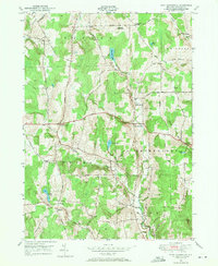 1949 West Bainbridge1971 Print · USGSChenango County upland territory is documented here just after the war, showing the rural townships of Bainbridge and Coventry. Researchers can trace ancestral property and travel routes through old settlements like Coventryville, North Afton, and the West Bainbridge Cemetery.2 unique versions available
 - 1950 Map of Binghamton
 1950 Binghamton1950 Print · USGSBinghamton and the surrounding Southern Tier are shown in the mid-century era, highlighting the intricate rail and river networks that drove local industry. Researchers can trace the path of the Erie Railroad and locate landmarks from Otsego Lake to Sidney Mountain.2 unique versions available
 - 1951 Map of Brisben
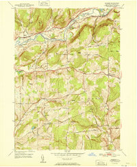 1951 Brisben1951 Print · USGSChenango County's river-and-rail corridor is captured here at mid-century, following the valley through the town of Oxford. Researchers can locate vanished landmarks like the Abandoned Canal, Old Chapel Ch, and rural schoolhouses including School No 24.
 - 1951 Map of West Bainbridge
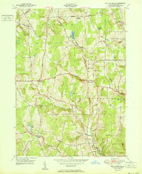 1951 West Bainbridge1951 Print · USGSChenango County hills and rural hamlets are captured here at the mid-century, before the modern highway era. Genealogists and local historians can trace family-named sites such as Blakesley Corner, North Afton, and the West Bainbridge Cemetery.
 - 1957 Map of Belden, 1959 Print
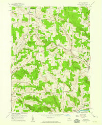 1957 Belden1959 Print · USGSBroome County’s rural landscapes are captured here during the late fifties, showing a region shaped by the Delaware and Hudson railroad. Researchers can locate several family-history landmarks, including New Ohio Cem, Pratts Cem, and the village of Harpursville near the Susquehanna River.
 - 1957 Map of Afton, 1959 Print
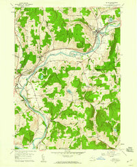 1957 Afton1959 Print · USGSThe Susquehanna River valley in the late fifties was a busy corridor of rail traffic and river towns. You can trace the Delaware and Hudson railroad through Nineveh Junction, locate old family plots at The Plains Cem, or find the secluded Vallonia Springs.4 unique versions available
 - 1958 Map of Binghamton
 1958 Binghamton1958 Print · USGSCentral New York in the late fifties was a network of manufacturing cities and river valleys connected by vital rail lines. Genealogists and historians can trace family roots in Oneonta, Norwich, and Cooperstown or locate long-standing farms along Schoharie Creek.
 - 1963 Map of Binghamton
 1963 Binghamton1963 Print · USGSThe Southern Tier and Catskill peaks are shown in the early sixties as new reservoirs reshaped the valleys. Trace historic rail corridors like the Erie Lackawanna RR and explore lakeside settlements such as Cooperstown and Oneonta.
 - 1985 Map of Binghamton, 1986 Print
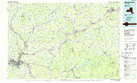 1985 Binghamton1986 Print · USGSThe Southern Tier during the mid-1980s shows a landscape of river-valley industry and expanding university campuses. Genealogists and local historians can trace family roots through riverside towns like Bainbridge, Sidney, and the Calvary Cem in the Binghamton area.2 unique versions available
 - 2010 Map of Afton, 2010 Print
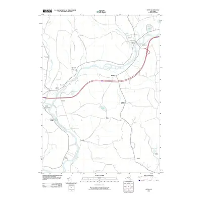 2010 Afton2010 Print · USGSThe Susquehanna River valley remains the heart of these Broome County communities as they appeared in the early twenty-first century. Genealogists and local historians can trace family ties through several grounds like Nineveh Presbyterian Cemetery, Harpur Cemetery, and the hamlet of Harpursville.
 - 2010 Map of Belden, 2010 Print
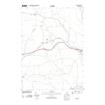 2010 Belden2010 Print · USGSCentral Broome County comes into focus in this 2010 survey, showcasing the area between the Susquehanna River and Belden Hill. Genealogists can trace family names at New Ohio Cemetery or Coles Hill Cemetery and locate the historic Ouaquaga Post Office.
 - 2010 Map of West Bainbridge, 2010 Print
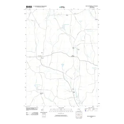 2010 West Bainbridge2010 Print · USGSChenango County's rural character remains preserved in these early twenty-first century landscapes of New York. Genealogists and local historians can trace family locations near Coventryville, Blackesley Corner, and the North Afton Cemetery.
 - 2010 Map of Brisben, 2010 Print
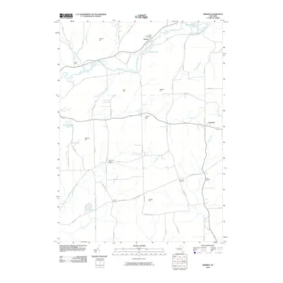 2010 Brisben2010 Print · USGSThe Chenango River valley in the early twenty-first century reveals a landscape of family-named hills and historic burial grounds. Trace local roots at the Old Chapel Cemetery or Wylie Cemetery and explore the rural road network connecting Brisben to Johnson Corners.
 - 2013 Map of West Bainbridge, 2013 Print
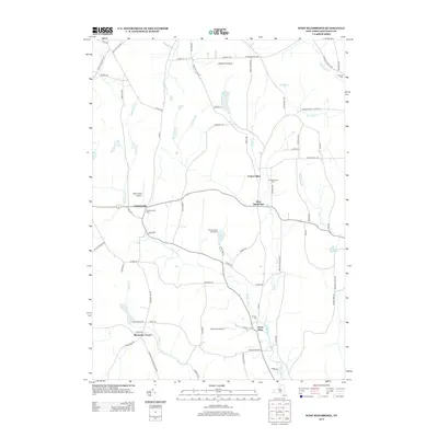 2013 West Bainbridge2013 Print · USGSChenango County in the early twenty-first century reveals a landscape of quiet hamlets and persistent rural crossroads. Genealogists and local historians can trace family ties at Coventryville Cem or N Afton Cem and locate historic hubs like Union Valley and Puckerville Corners.
 - 2013 Map of Belden, 2013 Print
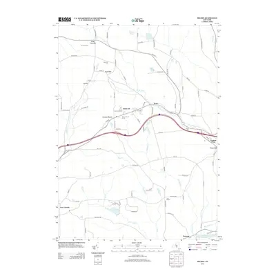 2013 Belden2013 Print · USGSBroome County settlements and rural watersheds are meticulously documented in this early twenty-first-century survey. Researchers can trace family history through sites like New Ohio Cem and Coles Hill Cem or locate the quiet hamlets of Tunnel and Ouaquaga.
 - 2013 Map of Afton, 2013 Print
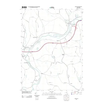 2013 Afton2013 Print · USGSThe Susquehanna River corridor in the early twenty-first century reveals a landscape of historic hamlets and riverside cemeteries. Genealogists can trace family heritage at Nineveh Presbyterian Cem, Glenwood Cem, and the rural crossroads of Vallonia Springs.
 - 2013 Map of Brisben, 2013 Print
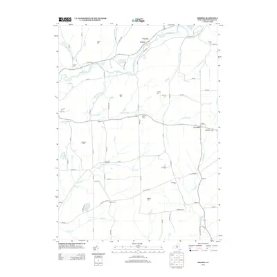 2013 Brisben2013 Print · USGSChenango County's river valleys and upland hills are captured here in the early twenty-first century as they maintain their rural character. Genealogists can trace family footprints across several burial sites, including Old Chapel Cem, Upper Page Brook Cem, and the village of Brisben.
 - 2016 Map of West Bainbridge, 2016 Print
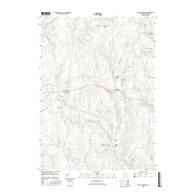 2016 West Bainbridge2016 Print · USGSChenango County's rural hamlets and upland valleys are captured here in the mid-2010s. Researchers can trace family history through local burial grounds like West Bainbridge Cem or locate regional landmarks such as Gibson Pinnacle and North Fork Airport.
 - 2016 Map of Belden, 2016 Print
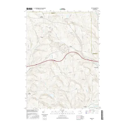 2016 Belden2016 Print · USGSBroome County settlements and cemetery sites are captured here in the mid-2010s as the local landscape transitions toward the Susquehanna. Researchers can trace family roots at New Ohio Cem or locate historical hubs like Tunnel, Harpursville, and Belden.
 - 2016 Map of Brisben, 2016 Print
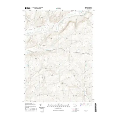 2016 Brisben2016 Print · USGSChenango County's rural landscape is captured here in the mid-2010s, showing the enduring agricultural character of the southern Tier. Researchers can locate family sites and rural landmarks like the Coventry Union Cem, Brisben Church Cem, and the Brisben Baptist Church.
Showing maps 1-25 of 34
Top cities near Coventry
- Chenango historical maps
- Fenton historical maps
- Windsor historical maps
- Sidney historical maps
- Kirkwood historical maps
- Greene historical maps
See more
Top neighborhoods of Coventry
Frequently asked questions
- What are the different types of historical maps available for Coventry?
- What is the oldest map of Coventry?
- Where can I purchase historical maps of Coventry for my home or office?
- Where can I download high-res historical maps of Coventry?
- Are there historical topographic maps available for Coventry?
- Is there historical aerial imagery available for Coventry?
- Where are historical maps of Coventry sourced from?