Old Maps of Perry Mills, Champlain for Metal Detecting
Plan your next treasure hunt with 6 historic maps of Perry Mills. Find old homesites, ghost towns, trails, and gathering spots that may be lost to time — perfect for identifying promising metal detecting locations.
- Locate forgotten sites: Uncover places like long-lost settlements, abandoned rail lines, or gathering spots.
- Plan better hunts: Use map overlays combined with LiDAR or satellite views to narrow in on historically rich areas.
- Made for detectorists: Thousands of hobbyists use these maps to discover relics, coins, and hidden history.
Use these historic maps to boost your research and find new opportunities beneath the surface of Perry Mills.
Perry Mills, Champlain maps
(6)- 1977 Map of Mooers Station, 1978 Print
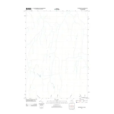
 1977 Mooers Station1978 Print · USGSClinton County and the Quebec borderland are captured in this infrared study from the late seventies. Genealogists and local historians can trace family-named routes like Garrand Road and locate the crossing at Mooers Station U. S. Customs.
 - 2010 Map of Mooers OE N, 2010 Print
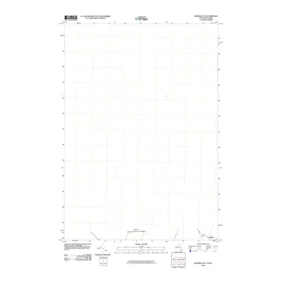 2010 Mooers OE N2010 Print · USGSCovers Perry Mills, including Champlain, Mooers, and other nearby areas
 - 2013 Map of Mooers OE N, 2013 Print
 2013 Mooers OE N2013 Print · USGSCovers Perry Mills, including Champlain, Mooers, and other nearby areas
 - 2016 Map of Mooers OE N, 2016 Print
 2016 Mooers OE N2016 Print · USGSCovers Perry Mills, including Champlain, Mooers, and other nearby areas
 - 2019 Map of Mooers OE N, 2019 Print
 2019 Mooers OE N2019 Print · USGSCovers Perry Mills, including Champlain, Mooers, and other nearby areas
 - 2023 Map of Mooers OE N, 2023 Print
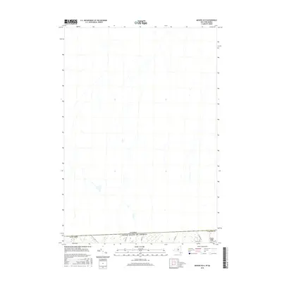
 2023 Mooers OE N2023 Print · USGSIn the 2020s, this borderland region in northern Clinton County shows a landscape defined by its proximity to the international boundary. Researchers can trace rural family sites near Murray Cem or follow historical routes like Hemmingford Rd.
End of results
Showing maps 1-6 of 6
Top cities near Perry Mills
- Champlain historical maps
- Beekmantown historical maps
- Chazy historical maps
- Dannemora historical maps
- Mooers historical maps
- Altona historical maps
See more
Frequently asked questions
- What are the different types of historical maps available for Perry Mills?
- What is the oldest map of Perry Mills?
- Where can I purchase historical maps of Perry Mills for my home or office?
- Where can I download high-res historical maps of Perry Mills?
- Are there historical topographic maps available for Perry Mills?
- Is there historical aerial imagery available for Perry Mills?
- Where are historical maps of Perry Mills sourced from?