Old Maps of West Chazy, Chazy
Explore 27 old maps of West Chazy, spanning from 1895 to today. These high-resolution historic maps reveal how streets, neighborhoods, landmarks, and natural features evolved over time — perfect for genealogy, metal detecting, research, and local history exploration.
What you can do with these maps:
- See how West Chazy changed over time: Compare historical maps to modern-day views to trace roads, homesites, rail lines & more.
- View detailed metadata: Each map includes creators, publishers, year, scale, and archive source.
- Overlay maps with satellite & LiDAR: Visualize the past alongside modern tools to explore terrain & human change.
- Trusted historical sources: Maps sourced from the USGS, Library of Congress, and other archives.
- Access maps your way: View online, download high-res files, or order prints for personal or research use.
Start exploring old maps of West Chazy to uncover forgotten places, hidden landmarks, and the deep history beneath your feet.
West Chazy, Chazy maps
(27)- 1895 Map of Mooers
 1895 Mooers1895 Print · USGSClinton County in the 1890s was a landscape of timber and rail where the Central Vermont RR crossed the northern frontier. Genealogists and researchers can trace the old footprints of Mooers Junction, Purdy Mill, and the many hamlets along the Chazy River.
 - 1895 Map of Rouse Point
 1895 Rouse Point1895 Print · USGSUpper Lake Champlain and the Canadian border served as a critical late 19th-century transit corridor where major rail lines met the water. Researchers can trace historic family lands near Beekmantown, the strategic position of Fort Montgomery, and the lighthouses at Isle La Motte and Point au Roche.3 unique versions available
 - 1899 Map of Mooers
 1899 Mooers1899 Print · USGSNorthern Clinton County was a bustling intersection of rail and river commerce at the end of the nineteenth century. Researchers can trace the old rail alignments through Mooers Junction or locate family landmarks like Purdy Mill and Wood Falls.6 unique versions available
 - 1907 Map of Rouse Point
 1907 Rouse Point1907 Print · USGSThe Lake Champlain shoreline at the turn of the century reveals a busy borderland of rail junctions and island settlements. Researchers can trace the early waterfront at Rouse Point, find the Fisk church on Isle La Motte, and locate Fort Montgomery near the Canadian boundary.5 unique versions available
 - 1939 Map of Rouses Point
 1939 Rouses Point1939 Print · USGSThe northern reaches of Lake Champlain and the Canadian border come alive in this pre-war survey of the New York-Vermont frontier. Genealogists and historians can trace rail-and-water connections through Rouses Point, locate family landmarks like Doane Cem, and explore the grounds of Fort Montgomery.4 unique versions available
 - 1942 Map of Mooers, 1956 Print
 1942 Mooers1956 Print · USGSClinton County's northern borderlands are captured here during the early 1940s, from the international line down to the slopes of the Adirondack foothills. Researchers can locate early district schoolhouses like Alder Bend Sch, tracing the rural rail connections of the RUTLAND and DELAWARE AND HUDSON lines.
 - 1943 Map of Mooers
 1943 Mooers1943 Print · USGSNorthern Clinton County at the height of the rail era shows a landscape of interconnected hamlets and river-powered industry along the Canadian border. Genealogists and local historians can trace family-named sites like Purdy Mill and Witherill Sch, or follow the path of the Rutland RR through Mooers and Altona.2 unique versions available
 - 1943 Map of Rouses Point
 1943 Rouses Point1943 Print · USGSThe Lake Champlain borderlands in the early 1940s served as a critical international junction for rail and river transit between New York, Vermont, and Quebec. Researchers can trace historic family landmarks from Fort Montgomery to local schoolhouses like Rogers Sch and Barnes Sch.2 unique versions available
 - 1950 Map of Lake Champlain
 1950 Lake Champlain1950 Print · USGSThe Lake Champlain valley and its surrounding peaks are captured in detail during the late 1940s, showing the vital rail and road connections between New York and Vermont. Researchers can trace the routes of the Central Vermont Railway or locate old industrial centers like Mineville and Witherbee.2 unique versions available
 - 1956 Map of Rouses Point, 1958 Print
 1956 Rouses Point1958 Print · USGSLake Champlain's northern islands and shoreline are captured here in the mid-1950s, where the New York and Vermont borders meet Quebec. Researchers can locate family landmarks like the Miner Institute, St Marys Cem, and the ruins of Fort Montgomery.2 unique versions available
 - 1956 Map of Mooers, 1958 Print
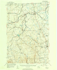 1956 Mooers1958 Print · USGSClinton County's borderlands are captured here in the mid-1950s, showing a landscape defined by international crossings and historic rail lines. Researchers can trace family roots through sites like Union Cemetery or follow the early industrial sites at Woods Falls and Purdy Mill.3 unique versions available
 - 1958 Map of Lake Champlain
 1958 Lake Champlain1958 Print · USGSThe Champlain Valley and surrounding high peaks are captured here in the late fifties, showcasing the cross-border region from the Adirondacks to the Green Mountains. Researchers can trace historic rail routes like the Rutland Railway or locate old valley settlements such as Keeseville and Vergennes.2 unique versions available
 - 1962 Map of Lake Champlain, 1975 Print
 1962 Lake Champlain1975 Print · USGSLake Champlain and the high peaks of the Adirondacks and Green Mountains are captured here during the mid-twentieth century. Researchers can trace the industrial legacy of the Lyon Mountain Mine and the rail corridors of the Central Vermont RR and Delaware & Hudson RR.3 unique versions available
 - 1966 Map of Beekmantown, 1968 Print
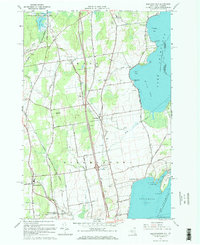 1966 Beekmantown1968 Print · USGSThe Lake Champlain shoreline in the mid-sixties reveals a landscape of quiet coastal points and expanding interstate infrastructure. Genealogists and historians can trace family road names and locate several burial sites including Point Au Roche Cem and Doane Cem.2 unique versions available
 - 1966 Map of West Chazy, 1968 Print
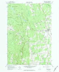 1966 West Chazy1968 Print · USGSClinton County in the 1960s was a landscape of deep forests and quiet hamlets centered around the Little Chazy River. Genealogists can locate family sites at West Chazy Rural Cemetery or trace the old Military Turnpike through Beartown.2 unique versions available
 - 1986 Map of Lake Champlain North
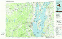 1986 Lake Champlain North1986 Print · USGSThe Lake Champlain borderlands in the mid-1980s show a mix of mountain villages and busy island shorelines. Researchers can trace the Delaware and Hudson RR through Plattsburgh or locate old rural sites like Mooers Forks and St Josephs Cem.2 unique versions available
 - 2000 Map of Rouses Point
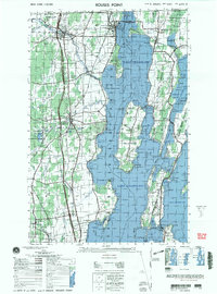 2000 Rouses Point2000 Print · USGSUpper Lake Champlain and the Canadian borderland appear here at the end of the century, showing the intricate shoreline and island communities. Genealogists and local historians can trace family sites at Sacred Heart Cemetery or visit the historic Fort Montgomery (ruins) and St Annes Shrine.
 - 2010 Map of West Chazy, 2010 Print
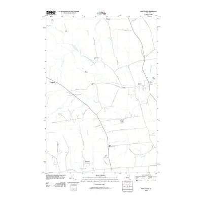 2010 West Chazy2010 Print · USGSClinton County as it appeared in the early 2010s shows a landscape defined by the Little Chazy River and a network of traditional rural settlements. Genealogists and local historians can trace family locations through numerous sites like Stone Cemetery, West Beekmantown, and Robinson.
 - 2011 Map of Beekmantown, 2011 Print
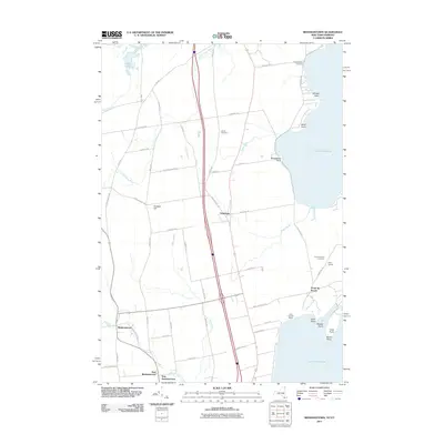 2011 Beekmantown2011 Print · USGSCoastal New York near the Vermont border is shown here during the early twenty-first century, featuring the transition from agricultural land to the Lake Champlain shore. Genealogists can locate Doane Cemetery and the shoreline hamlet of Point Au Roche.
 - 2013 Map of Beekmantown, 2013 Print
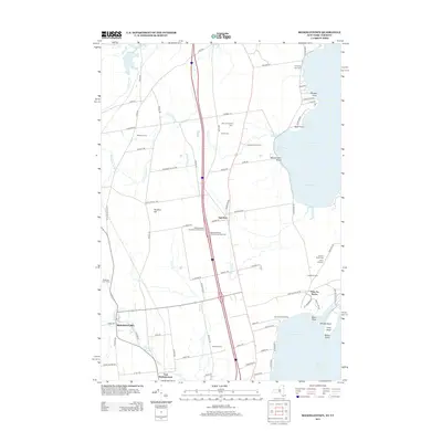 2013 Beekmantown2013 Print · USGSThe western shoreline of Lake Champlain and the agricultural heart of Clinton County are documented in the early twenty-first century. Genealogists and local historians can trace family lands such as Bubbins Farm or locate resting places at Point Au Roche Cem and Doane Cem.
 - 2013 Map of West Chazy, 2013 Print
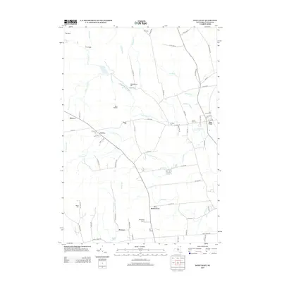 2013 West Chazy2013 Print · USGSClinton County’s rural interior is documented here in the early twenty-first century, showing the established communities of West Chazy and Beartown. Local historians can trace family roots through several landmarks including Robinson District Cem and Saint Josephs Cem.
 - 2016 Map of West Chazy, 2016 Print
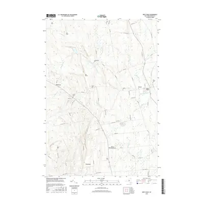 2016 West Chazy2016 Print · USGSThe West Chazy area of Clinton County is shown here during a period of modern growth that respects its 19th-century agricultural roots. Researchers can trace historic burial sites at the West Chazy Rural Cem or locate the settlement of Robinson near Rand Hill.
 - 2016 Map of Beekmantown, 2016 Print
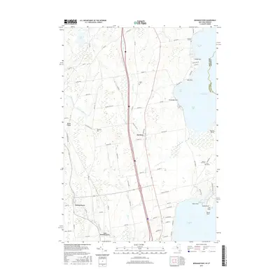 2016 Beekmantown2016 Print · USGSThe western shores of Lake Champlain are captured in the mid-2010s, showing the rural character and waterfront points of Clinton County. Researchers can locate family landmarks such as Trombley Bay Cemetery, Stratton Hill, and the settlement of Beekmantown.
 - 2019 Map of West Chazy, 2019 Print
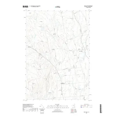 2019 West Chazy2019 Print · USGSClinton County and the village of West Chazy are shown here in modern detail, where the MILITARY TPKE meets the waters of the Little Chazy River. Genealogists and historians can trace family ties through Saint Josephs Cem, Robinson District Cem, and the old settlement at Beartown.
 - 2019 Map of Beekmantown, 2019 Print
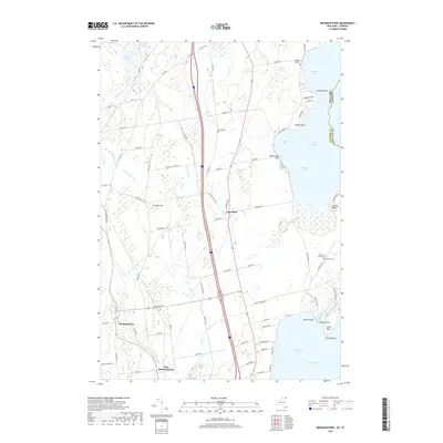 2019 Beekmantown2019 Print · USGSThe Lake Champlain shoreline in Clinton County is captured here in the late 2010s, showing a landscape of coastal bays and rural farmsteads. Genealogists can locate family landmarks like Doane Cem or trace the early settlements of Beekmantown and Ingraham.
Showing maps 1-25 of 27
Top cities near West Chazy
- Plattsburgh historical maps
- Colchester historical maps
- Plattsburgh historical maps
- Peru historical maps
- Champlain historical maps
- Beekmantown historical maps
See more
Frequently asked questions
- What are the different types of historical maps available for West Chazy?
- What is the oldest map of West Chazy?
- Where can I purchase historical maps of West Chazy for my home or office?
- Where can I download high-res historical maps of West Chazy?
- Are there historical topographic maps available for West Chazy?
- Is there historical aerial imagery available for West Chazy?
- Where are historical maps of West Chazy sourced from?