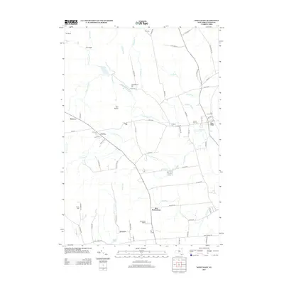
2013 Map of West Chazy
USGS Topo · Published 2013About this map
West Chazy serves as a focal point for this section of Clinton County, situated where the Little Chazy River flows toward the eastern lowlands. The settlement pattern is defined by a dense network of local roads such as Lovers Ln and Old Cider Mill Rd, reflecting a landscape of established rural communities including West Beekmantown, Beartown, and Robinson. This region is particularly rich in genealogical sites, with several burial grounds including Saint Josephs Cem, W Chazy Rural Cem, and the Stone Cem scattered across the township.
Find a feature on this map
73 named features on this map. Tap any name to fly to it.
Don’t see what you’re looking for? This feature index may not catch every label — zoom into the map to look around manually.
Map Details
Editions of this 2013 West Chazy Map
This is the sole edition of this map. No revisions or reprints were ever made.
Other maps of this area

1894 · Plattsburg
USGS Topo · 1:62,500

1895 · Mooers
USGS Topo · 1:62,500

1895 · Rouse Point
USGS Topo · 1:62,500

1899 · Mooers
USGS Topo · 1:62,500

1906 · Plattsburg
USGS Topo · 1:62,500

1907 · Rouse Point
USGS Topo · 1:62,500

1913 · Dannemora
USGS Topo · 1:62,500

1939 · Rouses Point
USGS Topo · 1:62,500

1939 · Plattsburg
USGS Topo · 1:62,500

1941 · Plattsburg
USGS Topo · 1:62,500