Old Maps of Chatham, New York for Academic Research
Study the evolution of Chatham with 34 high-resolution historic maps. Whether you're teaching, researching, or modeling changes in land use, these maps provide essential visual documentation of urban, environmental, and geographic change.
- Analyze long-term change: Track patterns in development, transportation, and natural features.
- Ideal for environmental or urban studies: Support academic projects with primary historical map data.
- Use in the classroom or lab: Educators and researchers rely on these maps to bring historical context to life.
These maps are a powerful tool for teaching, research, and visualizing how Chatham has changed over the decades.
Chatham, NY maps
(34)- 1903 Map of Kinderhook
 1903 Kinderhook1903 Print · USGSColumbia County at the turn of the century shows a landscape defined by the intersection of water power and rail. Trace the industrial heritage of Stuyvesant Falls and White Mills or locate ancestral homes in Old Chatham and Valatie.6 unique versions available
 - 1933 Map of Kinderhook
 1933 Kinderhook1933 Print · USGSColumbia County in the early thirties is a landscape of thriving mill towns and rail junctions. Genealogists and historians can locate family-named schoolhouses like Woltermire Sch or trace the grounds of the Martin Van Buren Homestead.3 unique versions available
 - 1948 Map of Albany, 1951 Print
 1948 Albany1951 Print · USGSThe Hudson and Connecticut River valleys are captured here in the late 1940s, showing the vital rail and water corridors of the Northeast. You can trace the Boston and Maine tracks past Mt Greylock or locate early settlements like Great Barrington and Bennington.
 - 1949 Map of Kinderhook
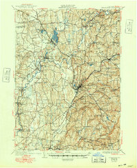 1949 Kinderhook1949 Print · USGSColumbia County’s landscape is captured here during the post-war era, showing a region shaped by both rail-borne industry and early American history. Genealogists and historians can trace the Boston and Albany tracks to landmarks like the Martin Van Buren Homestead and the Ichabod Crane Sch.
 - 1953 Map of Stottville, 1955 Print
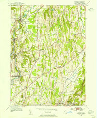 1953 Stottville1955 Print · USGSColumbia County at mid-century reveals a landscape shaped by early American history and the valley's industrial waterways. Genealogists and historians can trace family roots through the Martin Van Buren Homestead, the Ichabod Crane Home, and landmarks like Brick Tavern.3 unique versions available
 - 1953 Map of Kinderhook, 1955 Print
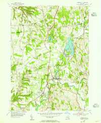 1953 Kinderhook1955 Print · USGSColumbia County in the early fifties shows a landscape of established villages and working waterways at the height of the rail era. Genealogists can trace family footprints near the House of History, Kinderhook Lake, and Muitzes Kill.2 unique versions available
 - 1953 Map of East Chatham, 1955 Print
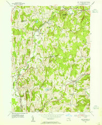 1953 East Chatham1955 Print · USGSColumbia County’s rural landscape is preserved in this mid-century survey as the New York Central railroad still wound through the valley. Researchers can trace ancestral roots at The Maples Cem or locate the Shaker Museum and Riders Mills Sch in their original settings.3 unique versions available
 - 1953 Map of Chatham, 1955 Print
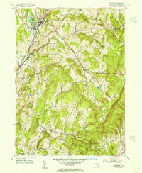 1953 Chatham1955 Print · USGSColumbia County in the early fifties shows a transition from rail-dependent industry to a quiet rural landscape. Genealogists can locate family landmarks like Arnolds Mill, Moorhouse Corner, and the German Cem near Harlemville.5 unique versions available
 - 1956 Map of Albany, 1968 Print
 1956 Albany1968 Print · USGSThe industrial heart of the Northeast is revealed in the mid-1950s, from the Hudson Valley to the Connecticut River. Researchers can trace the legacy of the Quabbin Reservoir, locate Westover Air Force Base, or follow the Rutland RR through the Green Mountains.2 unique versions available
 - 1957 Map of Albany
 1957 Albany1957 Print · USGSThe Tri-State region and Connecticut River Valley are captured here during a period of significant postwar growth and infrastructure expansion. Genealogists and historians can trace the rail-and-river economy through landmarks like the Boston and Maine railroad, Quabbin Reservoir, and Westover Air Force Base.
 - 1959 Map of Albany
 1959 Albany1959 Print · USGSThe Hudson and Connecticut River valleys are captured here during the late fifties, showing the region's dense rail networks and massive water projects. Researchers can trace the New York State Thruway or locate local landmarks like Mt Greylock and the Quabbin Reservoir.
 - 1962 Map of Albany
 1962 Albany1962 Print · USGSThe Hudson and Connecticut River valleys meet the Green Mountains and Berkshires in this mid-century overview of the Northeast. Genealogists and historians can trace the industrial hearts of Albany and Springfield or locate features like Quabbin Reservoir and Westover Air Force Base.
 - 1980 Map of Kinderhook, 1981 Print
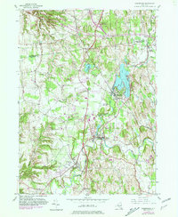 1980 Kinderhook1981 Print · USGSColumbia County in the early eighties retains its storied village character even as modern parkways and rail lines intersect the landscape. Genealogists can trace family footprints near Kinderhook at the House of History or locate early settlements along the Valatie Kill.
 - 1986 Map of Pittsfield
 1986 Pittsfield1986 Print · USGSThe Berkshires and the Hudson Valley meet in the mid-1980s, documenting a cross-border landscape of mountain forests and river towns. Genealogists and historians can trace the paths of Conrail and the Taconic State Parkway as they pass through Stockbridge, Great Barrington, and Kinderhook.2 unique versions available
 - 2010 Map of East Chatham, 2010 Print
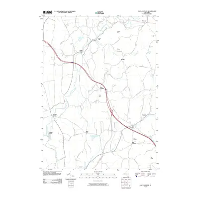 2010 East Chatham2010 Print · USGSUpper Columbia County and the southern edge of Rensselaer County appear here as a landscape of historic hamlets and winding creeks during the early twenty-first century. Genealogists can trace family names at Mountain View Cemetery or explore the old routes through Old Chatham and Riders Mills.
 - 2010 Map of Chatham, 2010 Print
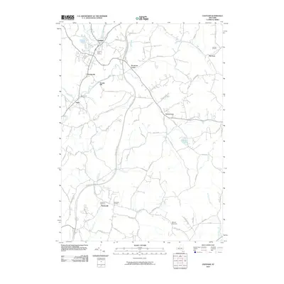 2010 Chatham2010 Print · USGSColumbia County at the start of the 21st century remains a landscape of historic hamlets and winding kills. Researchers can trace family roots at the Chatham Rural Cemetery or locate old industrial sites like Arnolds Mill and the community of Spencertown.
 - 2010 Map of Stottville, 2010 Print
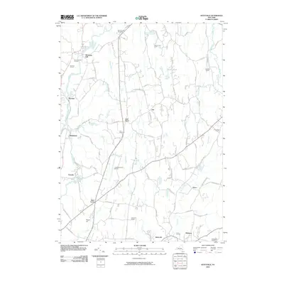 2010 Stottville2010 Print · USGSColumbia County's rural landscape at the turn of the 21st century remains anchored by its historic hamlets and famous homesteads. Researchers can locate significant landmarks like the Ichabod Crane Home, Brick Tavern, and the Stuyvesant Falls Cemetery.
 - 2010 Map of Kinderhook, 2010 Print
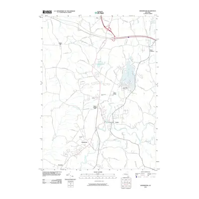 2010 Kinderhook2010 Print · USGSThe Hudson Valley communities of Kinderhook and Valatie are shown in detail during the early 21st century. Genealogists and historians can trace family land at Samascott Orchard or Yonder FruitFarms and locate properties near Kinderhook Lake and Niverville.
 - 2013 Map of Stottville, 2013 Print
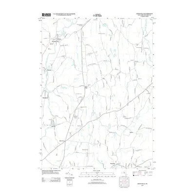 2013 Stottville2013 Print · USGSColumbia County’s landscape is captured here in the early twenty-first century, showing a mix of historic estates and creek-side industry. Researchers can find literary and political landmarks like the Ichabod Crane Home alongside genealogy-rich sites such as Stuyvesant Falls Cemetery and West Ghent Cemetery.
 - 2013 Map of East Chatham, 2013 Print
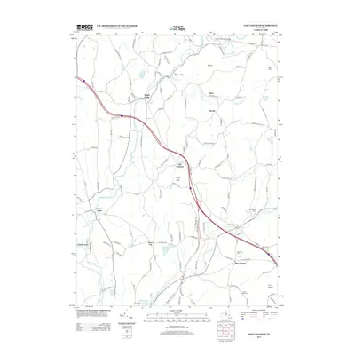 2013 East Chatham2013 Print · USGSUpper Hudson Valley hamlets and rolling dairy country are captured here in the early twenty-first century. Genealogists and local historians can locate family plots at The Maples Cem or trace the early settlement patterns of Old Chatham, Malden Bridge, and Riders Mills.
 - 2013 Map of Chatham, 2013 Print
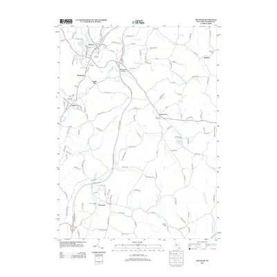 2013 Chatham2013 Print · USGSColumbia County in the early twenty-first century maintains its character through historic crossroads and rural hamlets. Genealogists can locate several burial grounds like Chatham Rural Cem and Saint James Cem or trace family tracts near Arnolds Mill.
 - 2013 Map of Kinderhook, 2013 Print
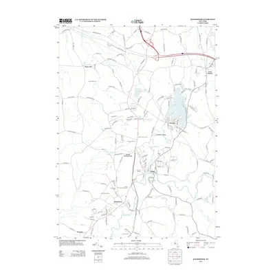 2013 Kinderhook2013 Print · USGSKinderhook and Valatie are shown here in the early twenty-first century amidst a landscape defined by extensive orchards and creek-side settlements. Genealogists and historians can locate several major burial grounds like Prospect Hill Cem and N Chatham Cem while tracing the agrarian footprints of Samascott Orchard and Roxbury Farm.
 - 2016 Map of Stottville, 2016 Print
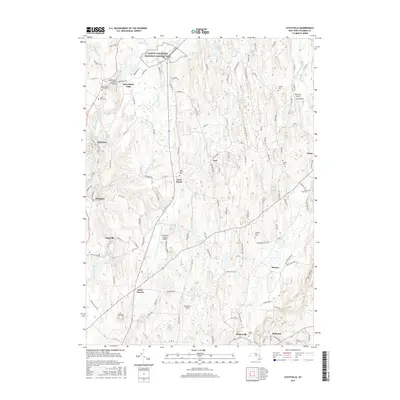 2016 Stottville2016 Print · USGSColumbia County’s landscape near the Hudson Valley is captured here in the mid-2010s, showing a mix of historic estates and rural villages. Genealogists can locate family landmarks like the Stuyvesant Falls Cem or the Martin Van Buren National Historic Site.
 - 2016 Map of Chatham, 2016 Print
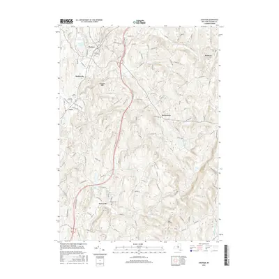 2016 Chatham2016 Print · USGSColumbia County's rolling landscape is shown here in the mid-2010s, featuring the rail and creek-side development of the Hudson Valley. Genealogists can trace family plots at Chatham Rural Cem or Saint James Cem and locate historic hubs like Arnolds Mill.
 - 2016 Map of East Chatham, 2016 Print
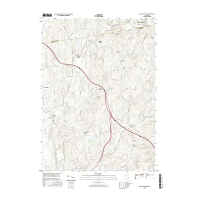 2016 East Chatham2016 Print · USGSThe rural borderlands of Columbia and Rensselaer counties are captured here in the mid-2010s, showing a landscape defined by historic hamlets and creek valleys. Genealogists and local historians can locate family sites near Old Chatham, Riders Mills, and the Mountain View Cem.
Showing maps 1-25 of 34
Top cities near Chatham
- Albany historical maps
- Bethlehem historical maps
- East Greenbush historical maps
- North Greenbush historical maps
- Schodack historical maps
- Rensselaer historical maps
See more
Top neighborhoods of Chatham
- North Chatham historical maps
- Malden Bridge historical maps
- New Concord historical maps
- Riders Mills historical maps
- Rock City historical maps
- Rayville historical maps
See more
Frequently asked questions
- What are the different types of historical maps available for Chatham?
- What is the oldest map of Chatham?
- Where can I purchase historical maps of Chatham for my home or office?
- Where can I download high-res historical maps of Chatham?
- Are there historical topographic maps available for Chatham?
- Is there historical aerial imagery available for Chatham?
- Where are historical maps of Chatham sourced from?