Old Maps of Greenport, New York for Metal Detecting
Plan your next treasure hunt with 45 historic maps of Greenport. Find old homesites, ghost towns, trails, and gathering spots that may be lost to time — perfect for identifying promising metal detecting locations.
- Locate forgotten sites: Uncover places like long-lost settlements, abandoned rail lines, or gathering spots.
- Plan better hunts: Use map overlays combined with LiDAR or satellite views to narrow in on historically rich areas.
- Made for detectorists: Thousands of hobbyists use these maps to discover relics, coins, and hidden history.
Use these historic maps to boost your research and find new opportunities beneath the surface of Greenport.
Greenport, NY maps
(45)- 1893 Map of Coxsackie
 1893 Coxsackie1893 Print · USGSThe Hudson River valley at the close of the 19th century shows a landscape defined by waterborne trade and expanding rail networks. Genealogists and local historians can trace family-named landmarks like Stanton Hill, ferry landings at Nuttenhook, and rail hubs like Coeyman Junction.
 - 1894 Map of Coxsackie
 1894 Coxsackie1894 Print · USGSThe Hudson River valley at the close of the 19th century was a hub of rail and river transit between Greene and Columbia counties. Genealogists can trace family names at Stanton Hill and Stephensville or locate long-lost stops like New Baltimore Sta. and Coxsackie Station.8 unique versions available
 - 1895 Map of Catskill
 1895 Catskill1895 Print · USGSThe Hudson River valley at the close of the 19th century was a landscape of bustling river ports and expanding rail lines. Genealogists and researchers can trace family lands near Saugerties, locate the old Burden Dock, or follow the route of the Catskill Mountain and Cairo R. R.10 unique versions available
 - 1902 Map of Copake, 1954 Print
 1902 Copake1954 Print · USGSColumbia County at the turn of the century shows a landscape defined by industry and iron, before modern highways bypassed these hillside hamlets. Trace the rail-and-mine economy through Copake Ironworks, the Weed Mines, and the busy junction at Boston Corners.
 - 1903 Map of Kinderhook
 1903 Kinderhook1903 Print · USGSColumbia County at the turn of the century shows a landscape defined by the intersection of water power and rail. Trace the industrial heritage of Stuyvesant Falls and White Mills or locate ancestral homes in Old Chatham and Valatie.6 unique versions available
 - 1904 Map of Copake
 1904 Copake1904 Print · USGSColumbia County at the turn of the century shows a landscape defined by deep-rooted industry and an extensive rail network. Researchers can trace the legacy of mining and milling at Ancram Leadmines, Weed Mines, and the Spaulding Furnace along the Roeliff Jansen Kill.7 unique versions available
 - 1929 Map of Coxsackie
 1929 Coxsackie1929 Print · USGSThe Hudson River valley in the late twenties was a bustling corridor of rail lines and river landings between Albany and Catskill. Genealogists and historians can trace family locations through dozens of numbered schoolhouses, the industrial works at Stottville, and the transit hubs of Schodack Landing and West Coxsackie.4 unique versions available
 - 1933 Map of Kinderhook
 1933 Kinderhook1933 Print · USGSColumbia County in the early thirties is a landscape of thriving mill towns and rail junctions. Genealogists and historians can locate family-named schoolhouses like Woltermire Sch or trace the grounds of the Martin Van Buren Homestead.3 unique versions available
 - 1934 Map of Catskill, 1960 Print
 1934 Catskill1960 Print · USGSThe Hudson Valley during the mid-1930s shows a landscape of riverfront commerce and deep-rooted rural townships. Genealogists and local historians can locate country schools like Schuylerhook Sch and historic landmarks like the Birthplace of Robert Livingston.2 unique versions available
 - 1938 Map of Catskill
 1938 Catskill1938 Print · USGSThe Hudson Valley in the late thirties remains a landscape of river-side industry and deep colonial heritage. Researchers can trace family sites from Kiskatom Ch to the Birthplace of Robert Livingston or locate vanished local landmarks like Walker Mill.2 unique versions available
 - 1941 Map of Catskill, 1945 Print
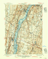 1941 Catskill1945 Print · USGSThe Hudson River valley at the start of the Second World War shows a landscape defined by historic estates and new river crossings. Genealogists and historians can trace the foundations of Bard College, locate the Birthplace of Robert Livingston, and explore early hamlets like Katsbaan and Cheviot.
 - 1947 Map of Claverack
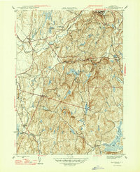 1947 Claverack1947 Print · USGSPost-war Columbia County comes to life in this survey of the hills and hamlets south of Ghent. Trace the legacy of family farms and early industry through the New York Central Railroad, Red Mills, and numerous district schools.3 unique versions available
 - 1948 Map of Albany, 1951 Print
 1948 Albany1951 Print · USGSThe Hudson and Connecticut River valleys are captured here in the late 1940s, showing the vital rail and water corridors of the Northeast. You can trace the Boston and Maine tracks past Mt Greylock or locate early settlements like Great Barrington and Bennington.
 - 1949 Map of Kinderhook
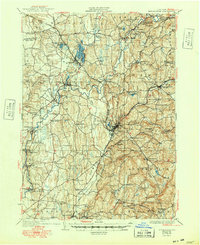 1949 Kinderhook1949 Print · USGSColumbia County’s landscape is captured here during the post-war era, showing a region shaped by both rail-borne industry and early American history. Genealogists and historians can trace the Boston and Albany tracks to landmarks like the Martin Van Buren Homestead and the Ichabod Crane Sch.
 - 1953 Map of Stottville, 1955 Print
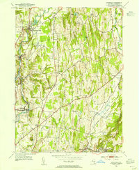 1953 Stottville1955 Print · USGSColumbia County at mid-century reveals a landscape shaped by early American history and the valley's industrial waterways. Genealogists and historians can trace family roots through the Martin Van Buren Homestead, the Ichabod Crane Home, and landmarks like Brick Tavern.3 unique versions available
 - 1953 Map of Hudson North, 1955 Print
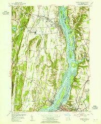 1953 Hudson North1955 Print · USGSThe Hudson Valley in the early fifties shows a landscape defined by its riverfront industry and deep-rooted settlements. Genealogists and local historians can trace family locations near Riverside Cem, the Rossman Sch, or the historic docks of Athens and Newton Hook.3 unique versions available
 - 1956 Map of Albany, 1968 Print
 1956 Albany1968 Print · USGSThe industrial heart of the Northeast is revealed in the mid-1950s, from the Hudson Valley to the Connecticut River. Researchers can trace the legacy of the Quabbin Reservoir, locate Westover Air Force Base, or follow the Rutland RR through the Green Mountains.2 unique versions available
 - 1957 Map of Albany
 1957 Albany1957 Print · USGSThe Tri-State region and Connecticut River Valley are captured here during a period of significant postwar growth and infrastructure expansion. Genealogists and historians can trace the rail-and-river economy through landmarks like the Boston and Maine railroad, Quabbin Reservoir, and Westover Air Force Base.
 - 1959 Map of Albany
 1959 Albany1959 Print · USGSThe Hudson and Connecticut River valleys are captured here during the late fifties, showing the region's dense rail networks and massive water projects. Researchers can trace the New York State Thruway or locate local landmarks like Mt Greylock and the Quabbin Reservoir.
 - 1960 Map of Claverack, 1962 Print
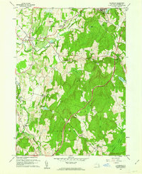 1960 Claverack1962 Print · USGSColumbia County at the dawn of the sixties shows a landscape where historic mill villages meet the modern sweep of the parkway. Genealogists and historians can trace family locations near Churchtown, Philmont, and the rural School No 7 and Trinity Ch.4 unique versions available
 - 1962 Map of Albany
 1962 Albany1962 Print · USGSThe Hudson and Connecticut River valleys meet the Green Mountains and Berkshires in this mid-century overview of the Northeast. Genealogists and historians can trace the industrial hearts of Albany and Springfield or locate features like Quabbin Reservoir and Westover Air Force Base.
 - 1963 Map of Hudson South, 1965 Print
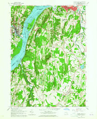 1963 Hudson South1965 Print · USGSThe Hudson River Valley in the early sixties showcases a bustling corridor of industry and education between Hudson and Catskill. Researchers can trace the river's influence on local growth through the Rip Van Winkle Bridge, the State School for Girls, and the tracks of the New York Central Railroad.3 unique versions available
 - 1980 Map of Hudson South, 1981 Print
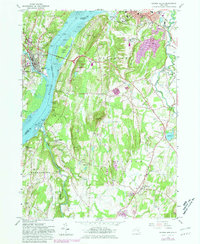 1980 Hudson South1981 Print · USGSThe Hudson River valley at the start of the 1980s reveals a blend of historic estates, maritime industry, and established river towns. Genealogists and historians can trace riverside landings and local institutions like Olana Historic Site, St Anthonys Seminary, and the Germantown Reformed Cemetery.
 - 1980 Map of Hudson North, 1981 Print
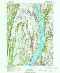 1980 Hudson North1981 Print · USGSThe Hudson River valley at the dawn of the 1980s reveals a landscape of industrial river towns and sprawling institutions. Genealogists and historians can trace family sites at Limestreet Cem or explore the rail-linked history of Stockport Sta and Newton Hook.
 - 1986 Map of Pittsfield
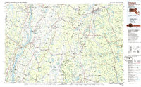 1986 Pittsfield1986 Print · USGSThe Berkshires and the Hudson Valley meet in the mid-1980s, documenting a cross-border landscape of mountain forests and river towns. Genealogists and historians can trace the paths of Conrail and the Taconic State Parkway as they pass through Stockbridge, Great Barrington, and Kinderhook.2 unique versions available
Showing maps 1-25 of 45
Top cities near Greenport
- Saugerties historical maps
- Ulster historical maps
- Catskill historical maps
- Red Hook historical maps
- Coxsackie historical maps
- Kinderhook historical maps
See more
Top neighborhoods of Greenport
Frequently asked questions
- What are the different types of historical maps available for Greenport?
- What is the oldest map of Greenport?
- Where can I purchase historical maps of Greenport for my home or office?
- Where can I download high-res historical maps of Greenport?
- Are there historical topographic maps available for Greenport?
- Is there historical aerial imagery available for Greenport?
- Where are historical maps of Greenport sourced from?