Old Maps of Lebanon Springs, New Lebanon for Genealogy
Trace your family roots with 26 historic maps of Lebanon Springs. These high-res maps reveal old neighborhoods, homesites, landmarks, and streets — helping you uncover where your ancestors lived and how the area evolved over time.
- Explore historic neighborhoods: Identify where your relatives may have lived in the 1800s or 1900s.
- Compare maps over time: Trace the changes in streets, buildings, and landmarks for multi-generational research.
- Perfect for genealogy & ancestry research: Used by family historians and researchers to map out lineage and migration.
These maps are an incredible resource for exploring your personal connection to Lebanon Springs's past.
Lebanon Springs, New Lebanon maps
(26)- 1888 Map of Pittsfield
 1888 Pittsfield1888 Print · USGSThe Berkshires and eastern New York meet in this late 19th-century record of a landscape defined by communal settlements and early industry. Genealogists and historians can trace the footprint of the Canaan Shakers, industrial sites at Richmond Furnace, and the early rail stops at Edwards Station.
 - 1890 Map of Pittsfield
 1890 Pittsfield1890 Print · USGSThe Berkshires and New York borderlands are captured here in the late nineteenth century, showing a landscape defined by communal Shaker life and iron works. Researchers can trace the Lebanon Springs Railroad through Lebanon Springs or locate early industrial hubs like Richmond Furnace and Lower Barkerville.
 - 1893 Map of Pittsfield
 1893 Pittsfield1893 Print · USGSThe Berkshires and the New York border are captured here in the late nineteenth century, showing a landscape of Shaker communities and early industrial sites. Genealogists can trace family roots in Barkerville, Curtisville, and near the historic Richmond Furnace.
 - 1894 Map of Pittsfield
 1894 Pittsfield1894 Print · USGSThe Massachusetts and New York borderlands meet in the 1890s, where industrial villages and Shaker settlements thrive along the rail corridors. Genealogists and historians can trace family roots through communities like Canaan Shakers, Richmond Furnace, and Lower Barkerville.
 - 1897 Map of Pittsfield
 1897 Pittsfield1897 Print · USGSThe Berkshires and Columbia County come to life in the late nineteenth century as a hub of rail travel and communal living. Trace the historic Canaan Shakers settlement, find long-gone stops like Edwards Station, or study the industrial layout of Richmond Furnace.11 unique versions available
 - 1899 Map of Housatonic
 1899 Housatonic1899 Print · USGSThe Berkshire hills at the close of the nineteenth century reveal a landscape of industrial hamlets and Shaker settlements. Trace the rail-and-river economy through Lenox Furnace, locate the historic Shaker Village, and find landmarks like Laura Tower.
 - 1900 Map of Housatonic
 1900 Housatonic1900 Print · USGSThe Berkshires and the Housatonic Valley are captured here at a moment of industrial and social transition during the late Victorian era. Genealogists and historians can trace the early rail networks of the Boston and Albany R.R. through old settlements like Shaker Village and Lenox Furnace.5 unique versions available
 - 1943 Map of Housatonic
 1943 Housatonic1943 Print · USGSThe Berkshires and the Housatonic Valley are captured during the war years, showing a landscape of traditional Shaker settlements and growing industrial centers. Trace the routes of the NY NH & H RR and explore sites like Shaker Village, Richmond Furnace, and Rockdale Mills.
 - 1946 Map of Canaan, 1958 Print
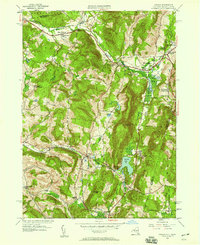 1946 Canaan1958 Print · USGSThe New York and Massachusetts borderlands appear here in the late 1940s, anchored by the settlements of New Lebanon and Canaan. Researchers can trace family history through sites like the Cemetery of the Evergreens, Darrow Sch, and the Berkshire Industrial Farm.
 - 1947 Map of Canaan
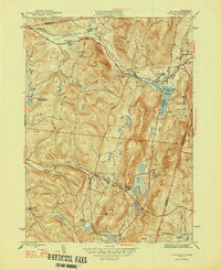 1947 Canaan1947 Print · USGSThe Taconic borderlands come alive in this post-war survey of the New York-Massachusetts state line. Genealogists and historians can trace family plots at the Cemetery of the Evergreens or locate the old Darrow Sch and Berkshire Industrial Farm.2 unique versions available
 - 1948 Map of Albany, 1951 Print
 1948 Albany1951 Print · USGSThe Hudson and Connecticut River valleys are captured here in the late 1940s, showing the vital rail and water corridors of the Northeast. You can trace the Boston and Maine tracks past Mt Greylock or locate early settlements like Great Barrington and Bennington.
 - 1956 Map of Albany, 1968 Print
 1956 Albany1968 Print · USGSThe industrial heart of the Northeast is revealed in the mid-1950s, from the Hudson Valley to the Connecticut River. Researchers can trace the legacy of the Quabbin Reservoir, locate Westover Air Force Base, or follow the Rutland RR through the Green Mountains.2 unique versions available
 - 1957 Map of Albany
 1957 Albany1957 Print · USGSThe Tri-State region and Connecticut River Valley are captured here during a period of significant postwar growth and infrastructure expansion. Genealogists and historians can trace the rail-and-river economy through landmarks like the Boston and Maine railroad, Quabbin Reservoir, and Westover Air Force Base.
 - 1959 Map of Albany
 1959 Albany1959 Print · USGSThe Hudson and Connecticut River valleys are captured here during the late fifties, showing the region's dense rail networks and massive water projects. Researchers can trace the New York State Thruway or locate local landmarks like Mt Greylock and the Quabbin Reservoir.
 - 1959 Map of Canaan, 1961 Print
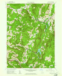 1959 Canaan1961 Print · USGSThe borderlands of New York and Massachusetts are captured here in the late fifties as rural life centered on the valleys of Canaan and New Lebanon. Genealogists and historians can trace the Cemetery of the Evergreens or the grounds of Mt Lebanon Darrow Sch.2 unique versions available
 - 1962 Map of Albany
 1962 Albany1962 Print · USGSThe Hudson and Connecticut River valleys meet the Green Mountains and Berkshires in this mid-century overview of the Northeast. Genealogists and historians can trace the industrial hearts of Albany and Springfield or locate features like Quabbin Reservoir and Westover Air Force Base.
 - 1973 Map of Canaan, 1975 Print
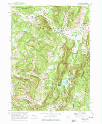 1973 Canaan1975 Print · USGSThe Taconic Range borderlands in the early seventies feature a mix of racing culture and historic valley settlements. Trace the grounds of the Lebanon Valley Speedway or locate family sites at the Cemetery of the Evergreens and Canaan Center.4 unique versions available
 - 1975 Map of Canaan, 1981 Print
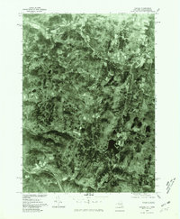 1975 Canaan1981 Print · USGSEastern Columbia County comes into focus in the mid-1970s through this detailed aerial orthophotomap. Researchers can trace the development of Canaan and New Lebanon, or locate rural homesteads near Queechy Lake and Flatbrook.
 - 1986 Map of Pittsfield
 1986 Pittsfield1986 Print · USGSThe Berkshires and the Hudson Valley meet in the mid-1980s, documenting a cross-border landscape of mountain forests and river towns. Genealogists and historians can trace the paths of Conrail and the Taconic State Parkway as they pass through Stockbridge, Great Barrington, and Kinderhook.2 unique versions available
 - 1988 Map of Pittsfield West
 1988 Pittsfield West1988 Print · USGSThe Massachusetts-New York state line runs through the Taconic Range in the late eighties, where the urban expansion of Pittsfield meets rural Berkshire landscapes. Researchers can trace historic cemeteries and schools alongside recreation sites like Lebanon Valley Speedway and Richmond Pond.2 unique versions available
 - 1998 Map of Pittsfield West, 2000 Print
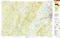 1998 Pittsfield West2000 Print · USGSThe Berkshires and the Taconic Range meet along the state line in the late nineties, showing the western expansion of Pittsfield and the quiet New York hill towns. Trace local heritage through sites like Shaker Village, Cornwall Tilden Cem, and the old rail lines of Conrail.
 - 2010 Map of Canaan, 2010 Print
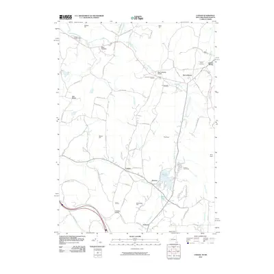 2010 Canaan2010 Print · USGSCanaan and the Lebanon Valley are mapped here during the early twenty-first century, showcasing a landscape of historic crossroads and mountain terrain. Researchers can locate family sites at the Cemetery of the Evergreens or trace the shores of Queechy Lake.
 - 2013 Map of Canaan, 2013 Print
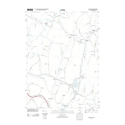 2013 Canaan2013 Print · USGSThe Columbia County and Berkshire borderlands are captured here in the early twenty-first century, showing a landscape of historic hamlets and upland streams. Genealogists and local researchers can locate several burial sites like Canaan Cem and trace the shores of Queechy Lake.
 - 2016 Map of Canaan, 2016 Print
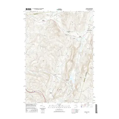 2016 Canaan2016 Print · USGSThe Columbia County highlands meet the Massachusetts border in this 2016 survey of the Taconic foothills. Genealogists can locate several historic burial sites like the Cem of the Evergreens or trace the legacy of local settlements at Lebanon Springs and Canaan.
 - 2019 Map of Canaan, 2019 Print
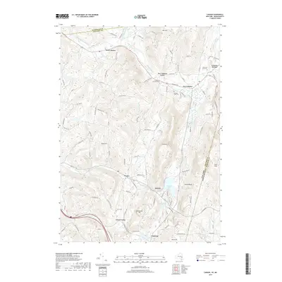 2019 Canaan2019 Print · USGSThe Columbia County borderlands and the Taconic foothills come alive in this recent survey of the New Lebanon and Canaan region. Researchers can trace family history through local landmarks like Lebanon Springs, Cem of the Evergreens, and the shores of Queechy Lake.
Showing maps 1-25 of 26
Top cities near Lebanon Springs
- Pittsfield historical maps
- Schodack historical maps
- North Adams historical maps
- Brunswick historical maps
- Sand Lake historical maps
- Adams historical maps
See more
Frequently asked questions
- What are the different types of historical maps available for Lebanon Springs?
- What is the oldest map of Lebanon Springs?
- Where can I purchase historical maps of Lebanon Springs for my home or office?
- Where can I download high-res historical maps of Lebanon Springs?
- Are there historical topographic maps available for Lebanon Springs?
- Is there historical aerial imagery available for Lebanon Springs?
- Where are historical maps of Lebanon Springs sourced from?