2020s Maps of Solon, New York
Explore 4 historic maps of Solon from the 2020s. These maps offer a rare glimpse into what life looked like during the 2020s — showing old roads, neighborhoods, homes, and landmarks that have changed or disappeared over time.
Whether you're researching your family's past, planning a metal detecting trip, or studying how Solon's landscape evolved across the 2020s, these high-resolution maps are a powerful tool for exploring the history of this region.
- Focus on a specific era: All maps on this page are from the 2020s, giving you a focused view of this time period.
- See what’s changed: Compare century-old streets, trails, and buildings to today's modern landscape using overlays and satellite layers.
- Research with precision: Use these maps for genealogy, historical research, land use analysis, or educational projects.
- View, download, or print: Maps are fully viewable online in high resolution, and can be downloaded or printed for your own records.
Start exploring Solon's history through authentic maps from the 2020s. This is your window into the past.
Solon, NY maps
(4)- 2023 Map of Cincinnatus, 2023 Print
 2023 Cincinnatus2023 Print · USGSThe Otselic River valley in central New York is home to several historic hamlets and upland ridges. Genealogists can trace family roots at Holland Cem or Cincinnatus Cem, while hikers can follow the North Country National Scenic Trail through the heights of Mount Roderick.
 - 2023 Map of Truxton, 2023 Print
 2023 Truxton2023 Print · USGSTruxton and the surrounding Cortland County valleys are captured here in the early twenty-first century, showing the enduring hamlets along the East Branch Tioughnioga River. Researchers can locate family sites near Saint Patricks Cem, East Homer, and the historic Crains Mills.
 - 2023 Map of McGraw, 2023 Print
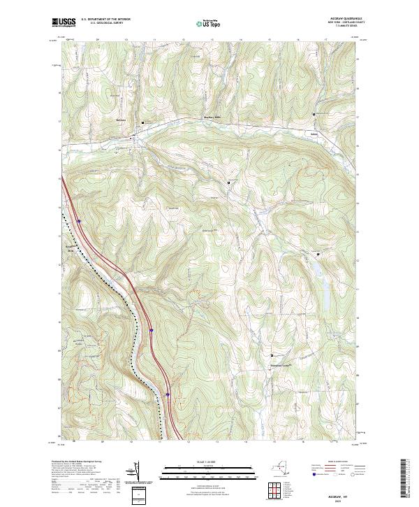 2023 McGraw2023 Print · USGSCortland County's high ridges and river valleys are documented here in the early twenty-first century. Genealogists can locate family landmarks like Atwood Cem and Turner Cem, while tracing the former mill sites of Maybury Mills and Blodgett Mills.
 - 2023 Map of Cuyler, 2023 Print
 2023 Cuyler2023 Print · USGSCortland County’s rural highlands are shown here in the 2020s, featuring the valleys of the Tioughnioga River and Maxon Creek. Trace family history at Cuyler Cem and Potter Hill Cem or explore trails through Dog Hollow.
End of results
Showing maps 1-4 of 4
Top cities near Solon
- Cortland historical maps
- Cortlandville historical maps
- Cazenovia historical maps
- Homer historical maps
- Greene historical maps
- Caroline historical maps
See more
Top neighborhoods of Solon
Frequently asked questions
- What are the different types of historical maps available for Solon?
- What is the oldest map of Solon?
- Where can I purchase historical maps of Solon for my home or office?
- Where can I download high-res historical maps of Solon?
- Are there historical topographic maps available for Solon?
- Is there historical aerial imagery available for Solon?
- Where are historical maps of Solon sourced from?