2000s (21st Century) Maps of Andes, New York
Explore 25 historic maps of Andes from the 2000s (21st Century). These maps offer a rare glimpse into what life looked like during the 2000s — showing old roads, neighborhoods, homes, and landmarks that have changed or disappeared over time.
Whether you're researching your family's past, planning a metal detecting trip, or studying how Andes's landscape evolved across the 2000s, these high-resolution maps are a powerful tool for exploring the history of this region.
- Focus on a specific era: All maps on this page are from the 2000s, giving you a focused view of this time period.
- See what’s changed: Compare century-old streets, trails, and buildings to today's modern landscape using overlays and satellite layers.
- Research with precision: Use these maps for genealogy, historical research, land use analysis, or educational projects.
- View, download, or print: Maps are fully viewable online in high resolution, and can be downloaded or printed for your own records.
Start exploring Andes's history through authentic maps from the 2000s. This is your window into the past.
Andes, NY maps
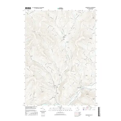
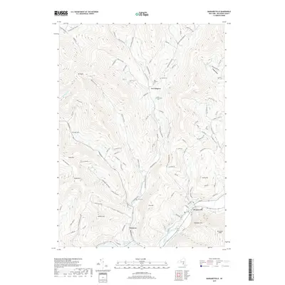
(25)- 2010 Map of Margaretville, 2010 Print
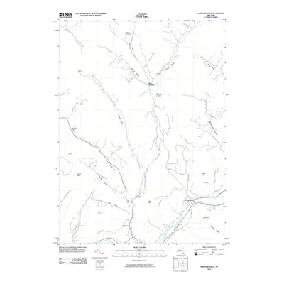 2010 Margaretville2010 Print · USGSCovers Andes, including Middletown, Roxbury, and other nearby areas
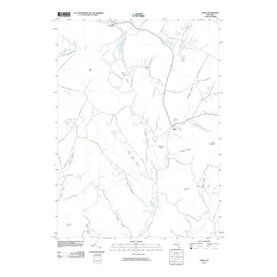
 - 2010 Map of Lewbeach, 2010 Print
 2010 Lewbeach2010 Print · USGSCovers Andes, including Middletown, Rockland, and other nearby areas
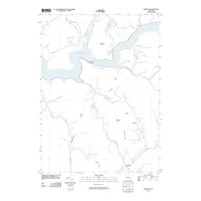
 - 2010 Map of Andes, 2010 Print
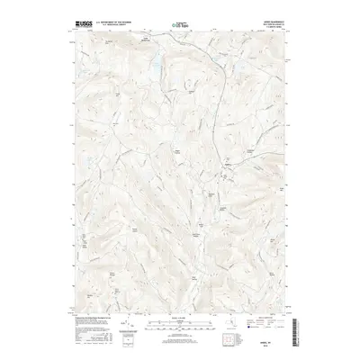
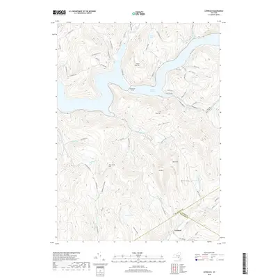
 2010 Andes2010 Print · USGSCovers Andes, including Delhi, Colchester, and other nearby areas
 - 2010 Map of Hamden, 2010 Print
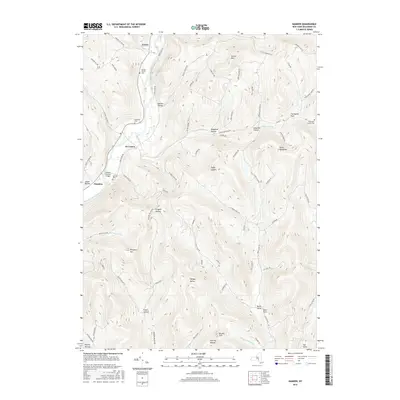
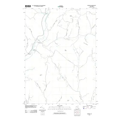 2010 Hamden2010 Print · USGSCovers Andes, including Walton, Delhi, and other nearby areas
 - 2010 Map of Arena, 2010 Print
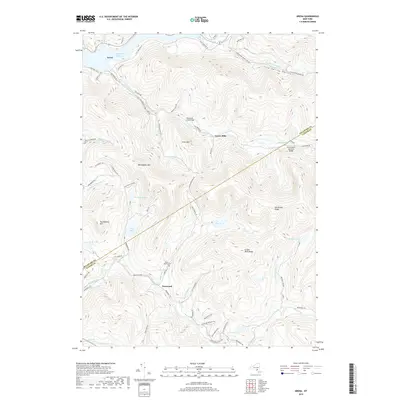
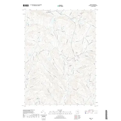
 2010 Arena2010 Print · USGSCovers Andes, including Middletown, Rockland, and other nearby areas
 - 2013 Map of Margaretville, 2013 Print
 2013 Margaretville2013 Print · USGSCovers Andes, including Middletown, Roxbury, and other nearby areas
 - 2013 Map of Andes, 2013 Print
 2013 Andes2013 Print · USGSCovers Andes, including Delhi, Colchester, and other nearby areas
 - 2013 Map of Hamden, 2013 Print
 2013 Hamden2013 Print · USGSCovers Andes, including Walton, Delhi, and other nearby areas
 - 2013 Map of Lewbeach, 2013 Print
 2013 Lewbeach2013 Print · USGSCovers Andes, including Middletown, Rockland, and other nearby areas
 - 2013 Map of Arena, 2013 Print
 2013 Arena2013 Print · USGSCovers Andes, including Middletown, Rockland, and other nearby areas
 - 2016 Map of Arena, 2016 Print
 2016 Arena2016 Print · USGSCovers Andes, including Middletown, Rockland, and other nearby areas
 - 2016 Map of Lewbeach, 2016 Print
 2016 Lewbeach2016 Print · USGSCovers Andes, including Middletown, Rockland, and other nearby areas
 - 2016 Map of Andes, 2016 Print
 2016 Andes2016 Print · USGSCovers Andes, including Delhi, Colchester, and other nearby areas
 - 2016 Map of Margaretville, 2016 Print
 2016 Margaretville2016 Print · USGSCovers Andes, including Middletown, Roxbury, and other nearby areas
 - 2016 Map of Hamden, 2016 Print
 2016 Hamden2016 Print · USGSCovers Andes, including Walton, Delhi, and other nearby areas
 - 2019 Map of Arena, 2019 Print
 2019 Arena2019 Print · USGSCovers Andes, including Middletown, Rockland, and other nearby areas
 - 2019 Map of Lewbeach, 2019 Print
 2019 Lewbeach2019 Print · USGSCovers Andes, including Middletown, Rockland, and other nearby areas
 - 2019 Map of Hamden, 2019 Print
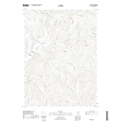 2019 Hamden2019 Print · USGSCovers Andes, including Walton, Delhi, and other nearby areas
 - 2019 Map of Margaretville, 2019 Print
 2019 Margaretville2019 Print · USGSCovers Andes, including Middletown, Roxbury, and other nearby areas
 - 2019 Map of Andes, 2019 Print
 2019 Andes2019 Print · USGSCovers Andes, including Delhi, Colchester, and other nearby areas
 - 2023 Map of Hamden, 2023 Print
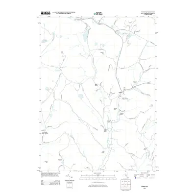
 2023 Hamden2023 Print · USGSDelaware County’s steep valleys and river hamlets are captured here in the early twenty-first century. Genealogists and hikers can trace the geography of Hamden and De Lancey or locate remote sites like Yendes Cem and Devils Backbone.
 - 2023 Map of Arena, 2023 Print
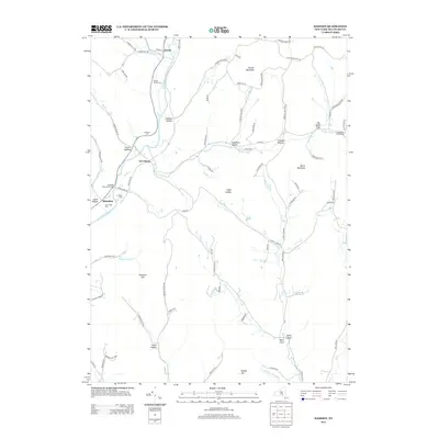
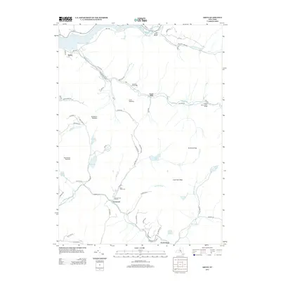
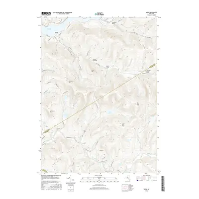
 2023 Arena2023 Print · USGSThe high Catskill ridges near the Delaware and Ulster county lines are shown here at their modern peak of recreation and conservation. Genealogists and hikers can trace remote landmarks like the Eighty Cem or explore the trails around Alder Lake and Beecher Lake.
 - 2023 Map of Margaretville, 2023 Print
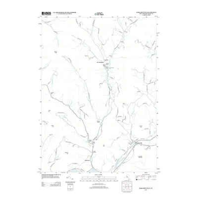
 2023 Margaretville2023 Print · USGSDelaware County's high ridges and deep hollows are documented in the early twenty-first century, centered on the historic village of Margaretville. Researchers can locate several burial sites, including Van Benschoten Cem and Sanford Cem, and trace the paths of Tremper Kill and Platte Kill.
 - 2023 Map of Andes, 2023 Print
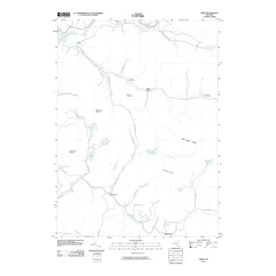
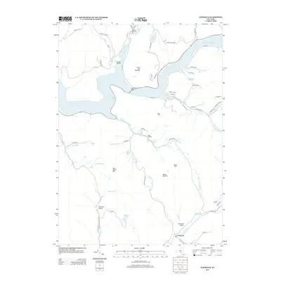
 2023 Andes2023 Print · USGSAndes and the surrounding Catskill hollows are documented here in the early twenty-first century. Researchers can trace family history through several burial sites like Andes-Village Cemetery and Fall Clove Cemetery or explore the terrain from Grays Mountain to Lake Delaware.
 - 2023 Map of Lewbeach, 2023 Print
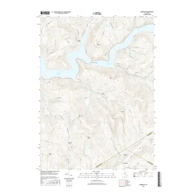
 2023 Lewbeach2023 Print · USGSThe Catskills terrain surrounding the Pepacton Reservoir is shown here in the 2020s. Researchers can trace family-named geography like Shaver Hollow, visit the settlement at Lewbeach, or locate Huggins Lake.
End of results
Showing maps 1-25 of 25
Top cities near Andes
- Walton historical maps
- Delhi historical maps
- Neversink historical maps
- Middletown historical maps
- Rockland historical maps
- Callicoon historical maps
See more
Frequently asked questions
- What are the different types of historical maps available for Andes?
- What is the oldest map of Andes?
- Where can I purchase historical maps of Andes for my home or office?
- Where can I download high-res historical maps of Andes?
- Are there historical topographic maps available for Andes?
- Is there historical aerial imagery available for Andes?
- Where are historical maps of Andes sourced from?