Old Maps of Bovina, New York for Academic Research
Study the evolution of Bovina with 38 high-resolution historic maps. Whether you're teaching, researching, or modeling changes in land use, these maps provide essential visual documentation of urban, environmental, and geographic change.
- Analyze long-term change: Track patterns in development, transportation, and natural features.
- Ideal for environmental or urban studies: Support academic projects with primary historical map data.
- Use in the classroom or lab: Educators and researchers rely on these maps to bring historical context to life.
These maps are a powerful tool for teaching, research, and visualizing how Bovina has changed over the decades.
Bovina, NY maps
(38)- 1901 Map of Margaretville, 1961 Print
 1901 Margaretville1961 Print · USGSThe Catskills at the turn of the century are defined here by river-valley settlements and the Ulster and Delaware railroad line. Genealogists and historians can trace family-named hollows and vanished settlements like Grant Mills, Arena, and Griffin Corners.
 - 1904 Map of Hobart
 1904 Hobart1904 Print · USGSThe northern Catskills and Delaware River headwaters come to life in this study of the region just after the turn of the century. You can trace the Ulster and Delaware rail line through high-elevation settlements like Stamford, Hobart, and Roxbury.5 unique versions available
 - 1904 Map of Margaretville
 1904 Margaretville1904 Print · USGSThe Catskills' high-valley communities thrive along the Ulster and Delaware RR at the turn of the century. Trace old family farmsteads and rural mountain hamlets like Arena, New Kingston, and Griffin Corners as they appeared in 1904.7 unique versions available
 - 1909 Map of Delhi, 1963 Print
 1909 Delhi1963 Print · USGSDelaware County at the turn of the century is a landscape of valley railroads and high ridgeline farms. Genealogists and researchers can trace family lands near Elk Creek Church, follow the old Ulster and Delaware RR line, or locate early sites in Delhi and Meridale.
 - 1911 Map of Delhi
 1911 Delhi1911 Print · USGSDelaware County during the first decade of the twentieth century shows a landscape of rail-driven river towns and high hill farms. You can trace the historic routes of the Ulster and Delaware RR and locate local landmarks like the Elk Creek Church and Wakaqua Falls.5 unique versions available
 - 1922 Map of Andes, 1955 Print
 1922 Andes1955 Print · USGSThe East Branch Delaware River valley is captured in the 1920s before the creation of the Pepacton Reservoir. Researchers can trace the original locations of Pepacton, Shavertown, and Union Grove, alongside numerous rural schoolhouses like Basin Clove School and Arbuckle School.2 unique versions available
 - 1924 Map of Andes
 1924 Andes1924 Print · USGSDelaware County during the mid-twenties shows a landscape of mountain hollows and river valley life. Genealogists can locate family-named landmarks and local schoolhouses like Miller Hollow School, the settlement of Shavertown, and Cabin Hill Church.4 unique versions available
 - 1943 Map of Bloomville, 1953 Print
 1943 Bloomville1953 Print · USGSDelaware County dairy country appears at a mid-century peak, centered on the West Branch Delaware River valley. Genealogists and local historians can trace family roots through numerous upland sites like Pink St Sch and the Riverside Cem.3 unique versions available
 - 1945 Map of Hobart, 1960 Print
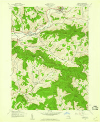 1945 Hobart1960 Print · USGSDelaware County at the end of the Second World War shows a landscape of mountain farming and valley rail transport. Genealogists can trace family names through landmarks like Rose Brook Cem, Locust Hill Cem, and the tracks of the New York Central railroad.3 unique versions available
 - 1945 Map of Margaretville, 1963 Print
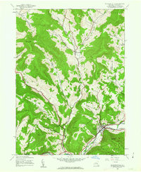 1945 Margaretville1963 Print · USGSDelaware County communities like Margaretville and New Kingston are captured here during the mid-1940s, showing the intricate network of valley hollows. Genealogists and historians can trace family locations near the Van Benschoten Cem, Dunraven, and the Sanford Dam along the Platte Kill.3 unique versions available
 - 1946 Map of Margaretville
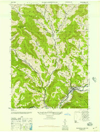 1946 Margaretville1946 Print · USGSThe upper Catskills in the mid-1940s show a landscape of mountain hollows and river valley settlements. Genealogists can trace family names through Archibald Cem and Van Benschoten Cem, or locate landmarks like the Central School in Margaretville.
 - 1946 Map of Hobart
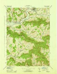 1946 Hobart1946 Print · USGSDelaware County dairy country thrives in the mid-1940s along the West Branch Delaware River and the New York Central rail line. Genealogists can locate family sites near South Kortright, Bovina (Butt End), and the Locust Hill Cem.
 - 1948 Map of Binghamton, 1980 Print
 1948 Binghamton1980 Print · USGSCentral New York and the Southern Tier thrive in the late 1940s as a hub of rail traffic and mountain industry. Researchers can trace historic transit lines like the Erie Railroad through Binghamton or find old valley settlements near Oneonta and Delhi.
 - 1950 Map of Binghamton
 1950 Binghamton1950 Print · USGSBinghamton and the surrounding Southern Tier are shown in the mid-century era, highlighting the intricate rail and river networks that drove local industry. Researchers can trace the path of the Erie Railroad and locate landmarks from Otsego Lake to Sidney Mountain.2 unique versions available
 - 1958 Map of Binghamton
 1958 Binghamton1958 Print · USGSCentral New York in the late fifties was a network of manufacturing cities and river valleys connected by vital rail lines. Genealogists and historians can trace family roots in Oneonta, Norwich, and Cooperstown or locate long-standing farms along Schoharie Creek.
 - 1963 Map of Binghamton
 1963 Binghamton1963 Print · USGSThe Southern Tier and Catskill peaks are shown in the early sixties as new reservoirs reshaped the valleys. Trace historic rail corridors like the Erie Lackawanna RR and explore lakeside settlements such as Cooperstown and Oneonta.
 - 1965 Map of Andes, 1967 Print
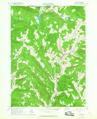 1965 Andes1967 Print · USGSDelaware County’s mountain valleys and hollows are captured here in the mid-1960s, showing the town of Andes and its rural outskirts. Researchers can trace the Old Tremper Railroad Grade or locate old community sites like Cabin Hill Ch and the Rural Cem.3 unique versions available
 - 1986 Map of Pepacton Reservoir
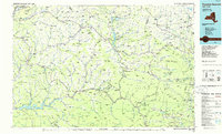 1986 Pepacton Reservoir1986 Print · USGSThe Catskills in the mid-eighties show a landscape shaped by the Pepacton Reservoir and protected wilderness. Local historians can trace mountain rail corridors like the Delaware & Ulster RR and locate high-elevation landmarks from Slide Mountain to Hunter Mountain.2 unique versions available
 - 2010 Map of Margaretville, 2010 Print
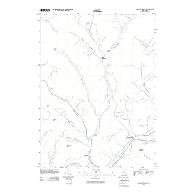 2010 Margaretville2010 Print · USGSThe Catskill mountain communities of Delaware County are shown in great detail during the early twenty-first century. Genealogists and hikers can trace the deep valleys of Bragg Hollow or locate family sites like the Achibald Cemetery and Elliott Homestead Landing Strip.
 - 2010 Map of Hobart, 2010 Print
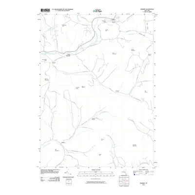 2010 Hobart2010 Print · USGSIn the heart of the Catskills during the early twenty-first century, this area shows a landscape of deep valleys and highland settlements. Researchers can trace historic burial sites at Locust Hill Cemetery or follow the waters of the West Branch Delaware River and Little Delaware River.
 - 2010 Map of Bloomville, 2010 Print
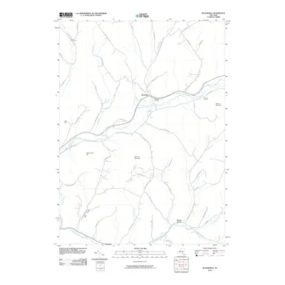 2010 Bloomville2010 Print · USGSDelaware County's rural character is preserved in the early 21st century as family-named ridges and valley settlements define the landscape. Researchers can trace ancestral locations near Bloomville and Bovina Center, or locate rural burial sites like Wetmore Cemetery and Benedict Cemetery.
 - 2010 Map of Andes, 2010 Print
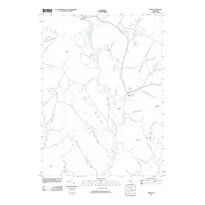 2010 Andes2010 Print · USGSThe village of Andes and its surrounding Delaware County hollows are captured here during the first decade of the new millennium. Genealogists and hikers can trace family names and landmarks across Dingle Hill, Rural Cemetery, and the shores of Tunis Lake.
 - 2013 Map of Bloomville, 2013 Print
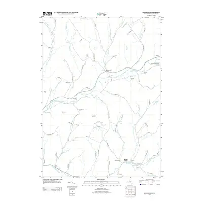 2013 Bloomville2013 Print · USGSDelaware County dairy country is captured here during the early twenty-first century, showing the enduring rural layout of the northern Catskills. Local historians can trace family farmsteads like High Meadows Farm and locate historic burial sites such as Riverside Cem and the United Presbyterian Old Church Cem.
 - 2013 Map of Margaretville, 2013 Print
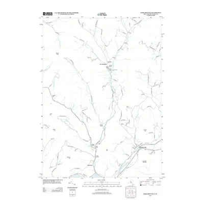 2013 Margaretville2013 Print · USGSThe southern Catskills near Margaretville appear in high detail during the early 21st century. Researchers can trace deep family roots in the valley hollows through landmarks like Achibald Cem, New Kingston, and the slopes of Pakatakan Mountain.
 - 2013 Map of Andes, 2013 Print
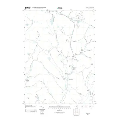 2013 Andes2013 Print · USGSDelaware County's high ridges and deep hollows are captured here during the early twenty-first century. Genealogists and local historians can trace family farmsteads like Tuttle Farm or locate ancestral burial sites at Rural Cem and Fall Clove Cem.
Showing maps 1-25 of 38
Top cities near Bovina
- Delhi historical maps
- Middletown historical maps
- Davenport historical maps
- Shandaken historical maps
- Milford historical maps
- Delhi historical maps
See more
Top neighborhoods of Bovina
Frequently asked questions
- What are the different types of historical maps available for Bovina?
- What is the oldest map of Bovina?
- Where can I purchase historical maps of Bovina for my home or office?
- Where can I download high-res historical maps of Bovina?
- Are there historical topographic maps available for Bovina?
- Is there historical aerial imagery available for Bovina?
- Where are historical maps of Bovina sourced from?