2000s (21st Century) Maps of Kortright, New York
Explore 25 historic maps of Kortright from the 2000s (21st Century). These maps offer a rare glimpse into what life looked like during the 2000s — showing old roads, neighborhoods, homes, and landmarks that have changed or disappeared over time.
Whether you're researching your family's past, planning a metal detecting trip, or studying how Kortright's landscape evolved across the 2000s, these high-resolution maps are a powerful tool for exploring the history of this region.
- Focus on a specific era: All maps on this page are from the 2000s, giving you a focused view of this time period.
- See what’s changed: Compare century-old streets, trails, and buildings to today's modern landscape using overlays and satellite layers.
- Research with precision: Use these maps for genealogy, historical research, land use analysis, or educational projects.
- View, download, or print: Maps are fully viewable online in high resolution, and can be downloaded or printed for your own records.
Start exploring Kortright's history through authentic maps from the 2000s. This is your window into the past.
Kortright, NY maps
(25)- 2010 Map of Davenport, 2010 Print
 2010 Davenport2010 Print · USGSCovers Kortright, including Davenport, Maryland, and other nearby areas
 - 2010 Map of West Davenport, 2010 Print
 2010 West Davenport2010 Print · USGSCovers Kortright, including Oneonta, Davenport, and other nearby areas
 - 2010 Map of Hobart, 2010 Print
 2010 Hobart2010 Print · USGSCovers Kortright, including Middletown, Roxbury, and other nearby areas
 - 2010 Map of Harpersfield, 2010 Print
 2010 Harpersfield2010 Print · USGSCovers Kortright, including Stamford, Harpersfield, and other nearby areas
 - 2010 Map of Bloomville, 2010 Print
 2010 Bloomville2010 Print · USGSCovers Kortright, including Delhi, Stamford, and other nearby areas
 - 2013 Map of Bloomville, 2013 Print
 2013 Bloomville2013 Print · USGSCovers Kortright, including Delhi, Stamford, and other nearby areas
 - 2013 Map of Hobart, 2013 Print
 2013 Hobart2013 Print · USGSCovers Kortright, including Middletown, Roxbury, and other nearby areas
 - 2013 Map of Harpersfield, 2013 Print
 2013 Harpersfield2013 Print · USGSCovers Kortright, including Stamford, Harpersfield, and other nearby areas
 - 2013 Map of Davenport, 2013 Print
 2013 Davenport2013 Print · USGSCovers Kortright, including Davenport, Maryland, and other nearby areas
 - 2013 Map of West Davenport, 2013 Print
 2013 West Davenport2013 Print · USGSCovers Kortright, including Oneonta, Davenport, and other nearby areas
 - 2016 Map of Davenport, 2016 Print
 2016 Davenport2016 Print · USGSCovers Kortright, including Davenport, Maryland, and other nearby areas
 - 2016 Map of Harpersfield, 2016 Print
 2016 Harpersfield2016 Print · USGSCovers Kortright, including Stamford, Harpersfield, and other nearby areas
 - 2016 Map of Hobart, 2016 Print
 2016 Hobart2016 Print · USGSCovers Kortright, including Middletown, Roxbury, and other nearby areas
 - 2016 Map of West Davenport, 2016 Print
 2016 West Davenport2016 Print · USGSCovers Kortright, including Oneonta, Davenport, and other nearby areas
 - 2016 Map of Bloomville, 2016 Print
 2016 Bloomville2016 Print · USGSCovers Kortright, including Delhi, Stamford, and other nearby areas
 - 2019 Map of West Davenport, 2019 Print
 2019 West Davenport2019 Print · USGSCovers Kortright, including Oneonta, Davenport, and other nearby areas
 - 2019 Map of Hobart, 2019 Print
 2019 Hobart2019 Print · USGSCovers Kortright, including Middletown, Roxbury, and other nearby areas
 - 2019 Map of Davenport, 2019 Print
 2019 Davenport2019 Print · USGSCovers Kortright, including Davenport, Maryland, and other nearby areas
 - 2019 Map of Harpersfield, 2019 Print
 2019 Harpersfield2019 Print · USGSCovers Kortright, including Stamford, Harpersfield, and other nearby areas
 - 2019 Map of Bloomville, 2019 Print
 2019 Bloomville2019 Print · USGSCovers Kortright, including Delhi, Stamford, and other nearby areas
 - 2023 Map of West Davenport, 2023 Print
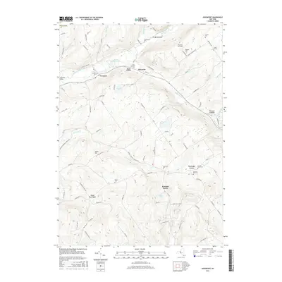
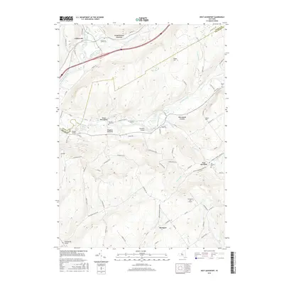
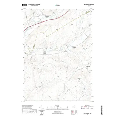
 2023 West Davenport2023 Print · USGSTracing the border of Otsego and Delaware counties, this recent survey shows the deep valleys of Charlotte Creek and the Susquehanna River. Genealogists can locate several burial grounds like McMinn Cem and trace rural settlements from West Davenport to East Meredith.
 - 2023 Map of Hobart, 2023 Print
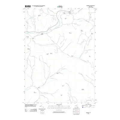
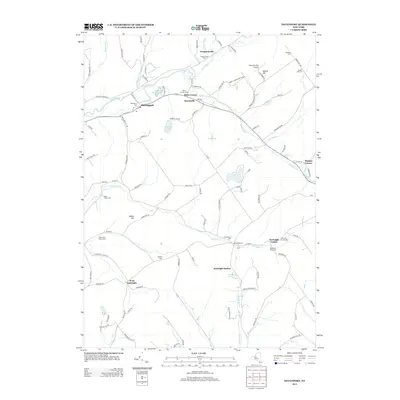
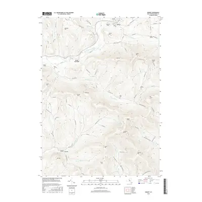
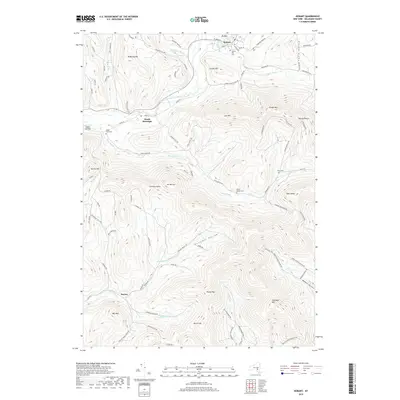
 2023 Hobart2023 Print · USGSThe northern Catskills and the Delaware River headwaters come to life in this contemporary study of New York's upland topography. Genealogists and hikers can trace the winding hollows to find Locust Hill Cem, Narrow Notch, and the riverside hamlet of South Kortright.
 - 2023 Map of Bloomville, 2023 Print
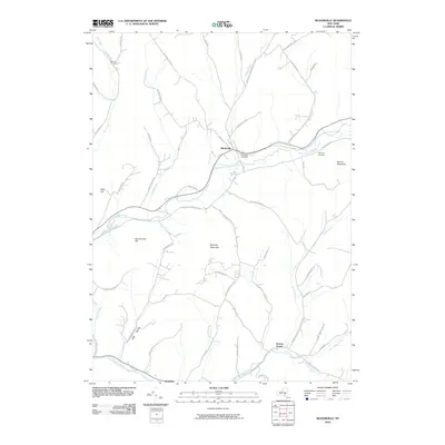
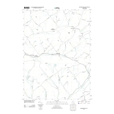
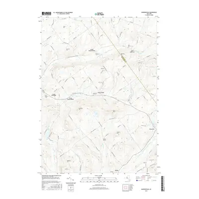
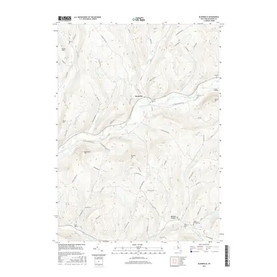
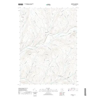
 2023 Bloomville2023 Print · USGSDelaware County's high ridges and river valleys are captured here in the early twenty-first century, centered on the historic village of Bloomville. Researchers can locate numerous legacy burial grounds like Elk Creek Cem and Sackrider Cem among the steep terrain of Rattail Ridge.
 - 2023 Map of Davenport, 2023 Print
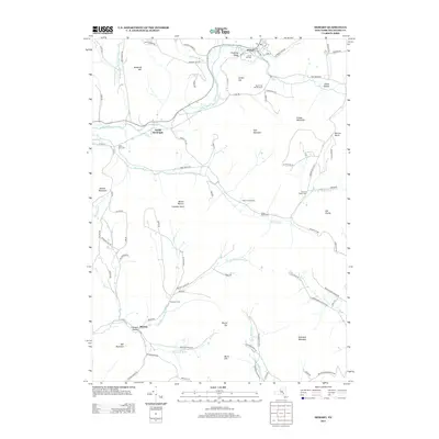
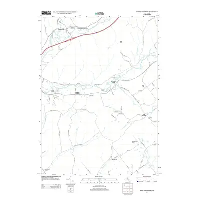
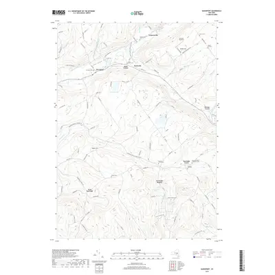
 2023 Davenport2023 Print · USGSDavenport and the surrounding Charlotte Valley are shown here in the early twenty-first century, a landscape of family farms and creek-side hamlets. Genealogists can trace lineage through numerous sites like Fergusonville Cem, Quaker Hill Cem, and Kortright Center.
 - 2023 Map of Harpersfield, 2023 Print
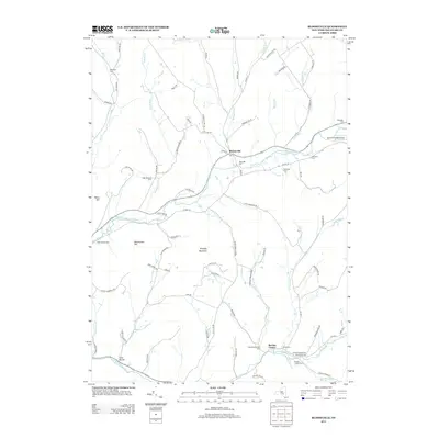
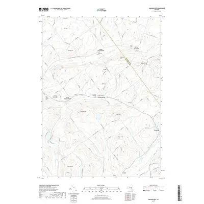
 2023 Harpersfield2023 Print · USGSDelaware County and the Schoharie border come alive in this survey of New York's Catskill foothills. Genealogists can trace early family lines through numerous rural burying grounds like North Harpersfield Cem, Grant Cem, and the high ridges of Titus Hill.
End of results
Showing maps 1-25 of 25
Top cities near Kortright
- Walton historical maps
- Oneonta historical maps
- Delhi historical maps
- Middletown historical maps
- Davenport historical maps
- Milford historical maps
See more
Top neighborhoods of Kortright
- Kortright Station historical maps
- West Kortright historical maps
- North Kortright historical maps
- Sturges Corner historical maps
- Kortright Center historical maps
- Bloomville historical maps
Frequently asked questions
- What are the different types of historical maps available for Kortright?
- What is the oldest map of Kortright?
- Where can I purchase historical maps of Kortright for my home or office?
- Where can I download high-res historical maps of Kortright?
- Are there historical topographic maps available for Kortright?
- Is there historical aerial imagery available for Kortright?
- Where are historical maps of Kortright sourced from?