Old Maps of Sidney, New York for Genealogy
Trace your family roots with 14 historic maps of Sidney. These high-res maps reveal old neighborhoods, homesites, landmarks, and streets — helping you uncover where your ancestors lived and how the area evolved over time.
- Explore historic neighborhoods: Identify where your relatives may have lived in the 1800s or 1900s.
- Compare maps over time: Trace the changes in streets, buildings, and landmarks for multi-generational research.
- Perfect for genealogy & ancestry research: Used by family historians and researchers to map out lineage and migration.
These maps are an incredible resource for exploring your personal connection to Sidney's past.
Sidney, NY maps
(14)- 1915 Map of Unadilla, 1961 Print
 1915 Unadilla1961 Print · USGSThe river valleys of Chenango and Delaware counties are shown here during the height of the steam rail era. Researchers can trace the New York Ontario and Western lines through Sidney and Bainbridge, or locate the Friends Meeting House and dozens of rural schoolhouses.
 - 1918 Map of Unadilla
 1918 Unadilla1918 Print · USGSThe Susquehanna and Unadilla river valleys come alive during the years of World War I, showing a landscape of bustling rail junctions and riverside villages. Genealogists can trace family names at Lathams Corners or locate the Friends Meeting House and Sodom School.6 unique versions available
 - 1943 Map of Sidney, 1953 Print
 1943 Sidney1953 Print · USGSThe Susquehanna and Unadilla rivers meet during the mid-forties, carving a landscape defined by industrial rail lines and valley settlements. Genealogists can trace family roots through Greenlawn Cem, the village of Bainbridge, and the junction at Sidney.3 unique versions available
 - 1945 Map of Sidney
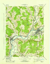 1945 Sidney1945 Print · USGSThe Susquehanna and Unadilla rivers meet in this mid-century view of the Tri-County area. Genealogists and historians can trace the rail lines through Sidney or locate landmarks like Greenlawn Cem and the Landing Field.
 - 1948 Map of Binghamton, 1980 Print
 1948 Binghamton1980 Print · USGSCentral New York and the Southern Tier thrive in the late 1940s as a hub of rail traffic and mountain industry. Researchers can trace historic transit lines like the Erie Railroad through Binghamton or find old valley settlements near Oneonta and Delhi.
 - 1950 Map of Binghamton
 1950 Binghamton1950 Print · USGSBinghamton and the surrounding Southern Tier are shown in the mid-century era, highlighting the intricate rail and river networks that drove local industry. Researchers can trace the path of the Erie Railroad and locate landmarks from Otsego Lake to Sidney Mountain.2 unique versions available
 - 1958 Map of Binghamton
 1958 Binghamton1958 Print · USGSCentral New York in the late fifties was a network of manufacturing cities and river valleys connected by vital rail lines. Genealogists and historians can trace family roots in Oneonta, Norwich, and Cooperstown or locate long-standing farms along Schoharie Creek.
 - 1963 Map of Binghamton
 1963 Binghamton1963 Print · USGSThe Southern Tier and Catskill peaks are shown in the early sixties as new reservoirs reshaped the valleys. Trace historic rail corridors like the Erie Lackawanna RR and explore lakeside settlements such as Cooperstown and Oneonta.
 - 1985 Map of Binghamton, 1986 Print
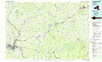 1985 Binghamton1986 Print · USGSThe Southern Tier during the mid-1980s shows a landscape of river-valley industry and expanding university campuses. Genealogists and local historians can trace family roots through riverside towns like Bainbridge, Sidney, and the Calvary Cem in the Binghamton area.2 unique versions available
 - 2010 Map of Sidney, 2010 Print
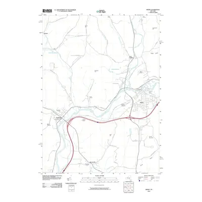 2010 Sidney2010 Print · USGSThe Susquehanna and Unadilla rivers meet here in the early twenty-first century, a landscape where river-valley industry and upland farming coexist. Researchers can trace local lineage across several burial sites, including Greenlawn Cemetery and Presbyterian Cemetery, or locate the rural hamlet of Bennettsville.
 - 2013 Map of Sidney, 2013 Print
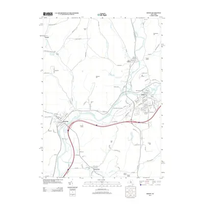 2013 Sidney2013 Print · USGSThe river valleys of Delaware County are shown in great detail during the early 2010s, capturing the communities of Sidney and Bainbridge. Local researchers can trace family histories through numerous sites like Prospect Hill Cem, Bennettsville, and the Congregational Church Cem.
 - 2016 Map of Sidney, 2016 Print
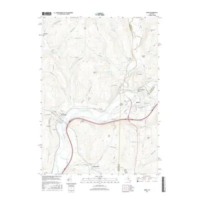 2016 Sidney2016 Print · USGSSidney and Bainbridge sit at a strategic river junction in the mid-2010s, where three counties meet along the Susquehanna. Researchers can trace family history through the Congregational Church Cem or locate old homesteads near Rogers Hollow and Bennettsville.
 - 2019 Map of Sidney, 2019 Print
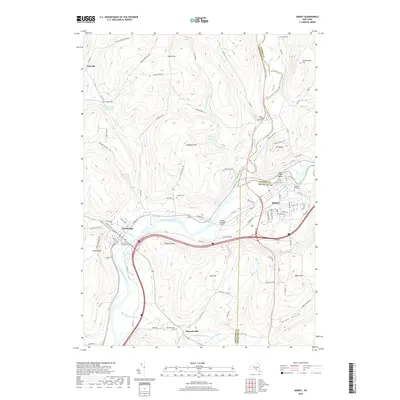 2019 Sidney2019 Print · USGSThe Susquehanna Valley at the meeting of the Otsego, Chenango, and Delaware county lines is detailed here in recent years. Researchers can trace family plots at Saint Peters Churchyard Cem or locate the historic Pioneer Cem near the Main Street Bridge.
 - 2023 Map of Sidney, 2023 Print
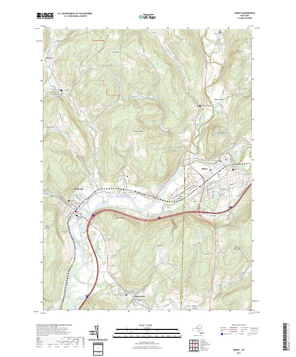 2023 Sidney2023 Print · USGSChenango County's river valleys and upland forests are captured here in the early twenty-first century as the area's industrial and agricultural history endures. Researchers can trace family sites at Saint Peters Churchyard Cem, navigate the rural roads of Bennettsville, or locate the Sidney Municipal Airport.
End of results
Showing maps 1-14 of 14
Top cities near Sidney
- Norwich historical maps
- Windsor historical maps
- Sidney historical maps
- Walton historical maps
- Colesville historical maps
- Unadilla historical maps
See more
Frequently asked questions
- What are the different types of historical maps available for Sidney?
- What is the oldest map of Sidney?
- Where can I purchase historical maps of Sidney for my home or office?
- Where can I download high-res historical maps of Sidney?
- Are there historical topographic maps available for Sidney?
- Is there historical aerial imagery available for Sidney?
- Where are historical maps of Sidney sourced from?