2000s (21st Century) Maps of Poughkeepsie, New York
Explore 15 historic maps of Poughkeepsie from the 2000s (21st Century). These maps offer a rare glimpse into what life looked like during the 2000s — showing old roads, neighborhoods, homes, and landmarks that have changed or disappeared over time.
Whether you're researching your family's past, planning a metal detecting trip, or studying how Poughkeepsie's landscape evolved across the 2000s, these high-resolution maps are a powerful tool for exploring the history of this region.
- Focus on a specific era: All maps on this page are from the 2000s, giving you a focused view of this time period.
- See what’s changed: Compare century-old streets, trails, and buildings to today's modern landscape using overlays and satellite layers.
- Research with precision: Use these maps for genealogy, historical research, land use analysis, or educational projects.
- View, download, or print: Maps are fully viewable online in high resolution, and can be downloaded or printed for your own records.
Start exploring Poughkeepsie's history through authentic maps from the 2000s. This is your window into the past.
Poughkeepsie, NY maps
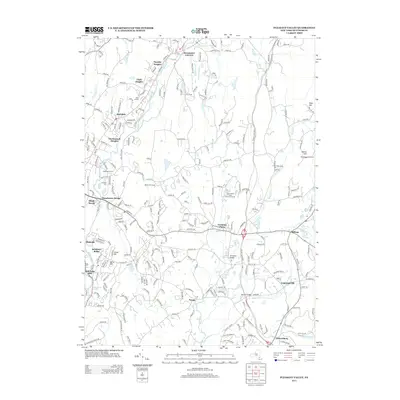
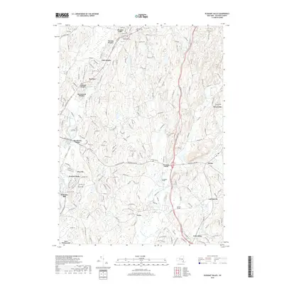
(15)- 2010 Map of Pleasant Valley, 2010 Print
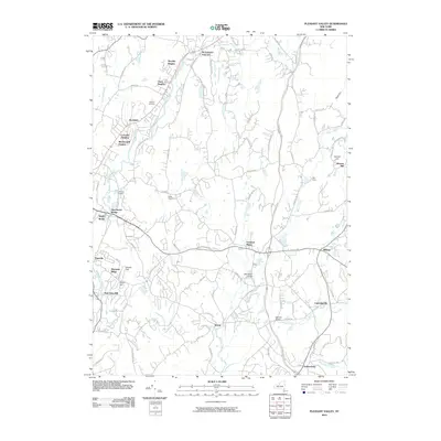 2010 Pleasant Valley2010 Print · USGSCovers Poughkeepsie, including East Fishkill, Wappinger, and other nearby areas
 - 2010 Map of Wappingers Falls, 2010 Print
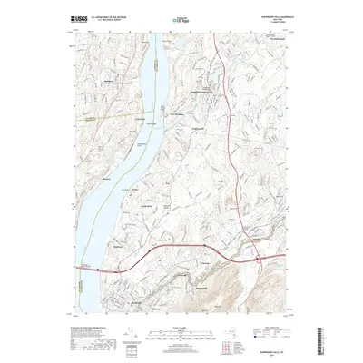
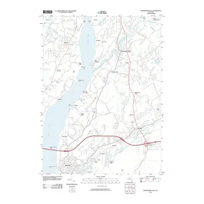 2010 Wappingers Falls2010 Print · USGSCovers Poughkeepsie, including Newburgh, Wappinger, and other nearby areas
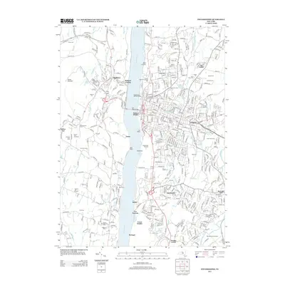
 - 2010 Map of Poughkeepsie, 2010 Print
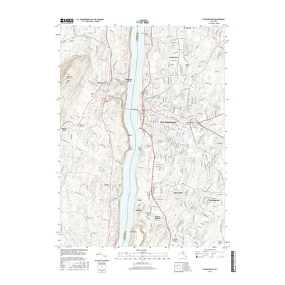
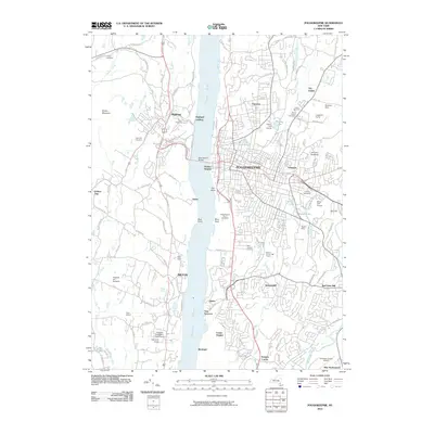 2010 Poughkeepsie2010 Print · USGSCovers Poughkeepsie, including Wappinger, Hyde Park, and other nearby areas
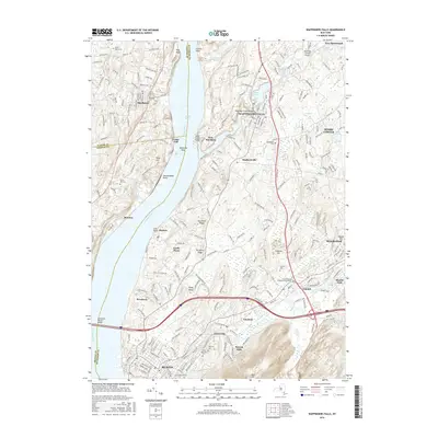
 - 2013 Map of Wappingers Falls, 2013 Print
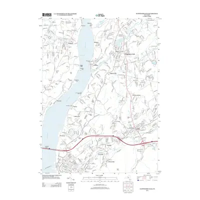 2013 Wappingers Falls2013 Print · USGSCovers Poughkeepsie, including Newburgh, Wappinger, and other nearby areas
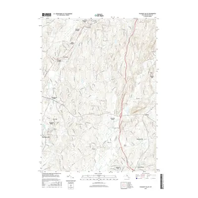
 - 2013 Map of Pleasant Valley, 2013 Print
 2013 Pleasant Valley2013 Print · USGSCovers Poughkeepsie, including East Fishkill, Wappinger, and other nearby areas
 - 2013 Map of Poughkeepsie, 2013 Print
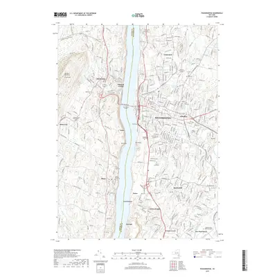
 2013 Poughkeepsie2013 Print · USGSCovers Poughkeepsie, including Wappinger, Hyde Park, and other nearby areas
 - 2016 Map of Pleasant Valley, 2016 Print
 2016 Pleasant Valley2016 Print · USGSCovers Poughkeepsie, including East Fishkill, Wappinger, and other nearby areas
 - 2016 Map of Wappingers Falls, 2016 Print
 2016 Wappingers Falls2016 Print · USGSCovers Poughkeepsie, including Newburgh, Wappinger, and other nearby areas
 - 2016 Map of Poughkeepsie, 2016 Print
 2016 Poughkeepsie2016 Print · USGSCovers Poughkeepsie, including Wappinger, Hyde Park, and other nearby areas
 - 2019 Map of Pleasant Valley, 2019 Print
 2019 Pleasant Valley2019 Print · USGSCovers Poughkeepsie, including East Fishkill, Wappinger, and other nearby areas
 - 2019 Map of Poughkeepsie, 2019 Print
 2019 Poughkeepsie2019 Print · USGSCovers Poughkeepsie, including Wappinger, Hyde Park, and other nearby areas
 - 2019 Map of Wappingers Falls, 2019 Print
 2019 Wappingers Falls2019 Print · USGSCovers Poughkeepsie, including Newburgh, Wappinger, and other nearby areas
 - 2023 Map of Poughkeepsie, 2023 Print
 2023 Poughkeepsie2023 Print · USGSThe Hudson Valley comes into focus in this recent survey, showcasing the dense city of Poughkeepsie and its collegiate campuses. Genealogists and historians can trace family plots at Saint Peter's Cem and Anning Smith Cem or locate the historic Dutchess County Courthouse.
 - 2023 Map of Pleasant Valley, 2023 Print
 2023 Pleasant Valley2023 Print · USGSCentral Dutchess County is captured here at a moment of transition between its agricultural past and modern residential expansion. Genealogists can trace family roots at the Pleasant Valley Presbyterian Cem or explore historic nodes like Moores Mill and Lagrangeville.
 - 2023 Map of Wappingers Falls, 2023 Print
 2023 Wappingers Falls2023 Print · USGSDutchess County's riverfront communities and inland hills are captured here in the 2020s, showing the modern layout of the Hudson Valley. Researchers can locate family sites like the First Reformed Protestant Dutch Cem or follow the Delaware Aqueduct.
End of results
Showing maps 1-15 of 15
Top cities near Poughkeepsie
- Carmel historical maps
- Newburgh historical maps
- Poughkeepsie historical maps
- East Fishkill historical maps
- Newburgh historical maps
- Wappinger historical maps
See more
Top neighborhoods of Poughkeepsie
- Barnegat historical maps
- Stoneco historical maps
- Rudco historical maps
- Manchester Bridge historical maps
- Rochdale historical maps
- Knapps Corner historical maps
See more
Frequently asked questions
- What are the different types of historical maps available for Poughkeepsie?
- What is the oldest map of Poughkeepsie?
- Where can I purchase historical maps of Poughkeepsie for my home or office?
- Where can I download high-res historical maps of Poughkeepsie?
- Are there historical topographic maps available for Poughkeepsie?
- Is there historical aerial imagery available for Poughkeepsie?
- Where are historical maps of Poughkeepsie sourced from?