Old Maps of Schroon, New York for Academic Research
Study the evolution of Schroon with 52 high-resolution historic maps. Whether you're teaching, researching, or modeling changes in land use, these maps provide essential visual documentation of urban, environmental, and geographic change.
- Analyze long-term change: Track patterns in development, transportation, and natural features.
- Ideal for environmental or urban studies: Support academic projects with primary historical map data.
- Use in the classroom or lab: Educators and researchers rely on these maps to bring historical context to life.
These maps are a powerful tool for teaching, research, and visualizing how Schroon has changed over the decades.
Schroon, NY maps
(52)- 1895 Map of Paradox Lake, 1954 Print
 1895 Paradox Lake1954 Print · USGSThe Adirondack high country near the turn of the century is captured here during the peak of its early industrial era. Trace the old mining works at Hammondville, the route of the Abandoned H. R. R., and remote mountain waters like Pharaoh Lake.
 - 1897 Map of Paradox Lake
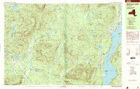
 1897 Paradox Lake1897 Print · USGSThe eastern Adirondacks near the turn of the century show a rugged landscape of early iron-and-rail industry. Researchers can trace the C. P. and H. R. R. (Abandoned) rail line near Ironville and locate historic settlements like Hammondville and Chilson.10 unique versions available
 - 1897 Map of Schroon Lake
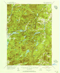
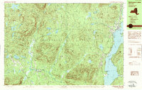
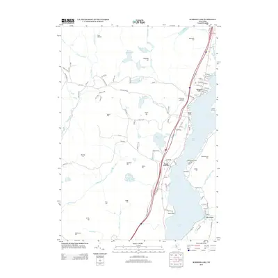
 1897 Schroon Lake1897 Print · USGSAdirondack mountain life in the late nineteenth century centers on the busy waters of Schroon Lake and the surrounding wilderness. Researchers can trace early settlements like Olmstedville and Irishtown or locate the historic Steamboat Route and remote landmarks like Lester Dam.10 unique versions available
 - 1950 Map of Glens Falls
 1950 Glens Falls1950 Print · USGSThe Adirondacks and the Green Mountains meet in this mid-century survey of the New York and Vermont borderlands. Researchers can trace the industrial rail corridors of the Rutland RR and Delaware & Hudson RR connecting Glens Falls, Rutland, and the shores of Lake George.
 - 1953 Map of Paradox Lake, 1956 Print
 1953 Paradox Lake1956 Print · USGSThe Adirondack wilderness of the early fifties is preserved here, showing the balance between quiet settlements and the region's industrial past. Genealogists and historians can trace family locations near Ironville, St Nicholas Chapel, and the Schroon River Cem.5 unique versions available
 - 1953 Map of Schroon Lake, 1956 Print
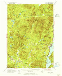 1953 Schroon Lake1956 Print · USGSSchroon Lake and the surrounding Adirondack high peaks are captured here in the early fifties before major highway expansion. Genealogists and local historians can trace family-named sites and vanished mountain hamlets like Irishtown, Olmstedville, and St Marys Ch.4 unique versions available
 - 1956 Map of Glens Falls, 1968 Print
 1956 Glens Falls1968 Print · USGSUpper New York and the Vermont mountains are captured here in the mid-fifties, showing the rugged rail-and-river network of the Northeast. Researchers can trace the paths of the Delaware and Hudson RR and Rutland RR as they wind through valley towns like Poultney and Whitehall.3 unique versions available
 - 1959 Map of Glens Falls
 1959 Glens Falls1959 Print · USGSUpper New York and Vermont are captured here during the late 1950s, a period of transition for these mountain communities. Researchers can trace the legacy of the region's river-and-rail economy through landmarks like Lake George, Saratoga Springs, and Killington Peak.2 unique versions available
 - 1964 Map of Glens Falls
 1964 Glens Falls1964 Print · USGSThe tri-state borderlands of New York, Vermont, and New Hampshire appear here in the mid-1960s. Researchers can trace the rail routes of the Rutland RR and find historic sites like Ticonderoga and Saratoga National Historical Park.
 - 1973 Map of Graphite, 1975 Print
 1973 Graphite1975 Print · USGSThe Adirondack high country in the early seventies shows a landscape of isolated hamlets and dense wilderness. Trace family footprints through Hague, find the small May Memorial Cem, or locate the inland mining settlement at Graphite.2 unique versions available
 - 1973 Map of Pharaoh Mountain, 1976 Print
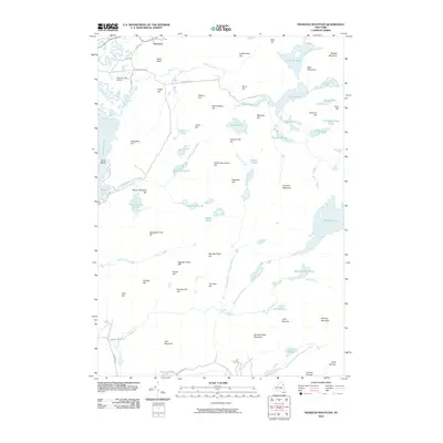
 1973 Pharaoh Mountain1976 Print · USGSAdirondack wilderness in the early 1970s is characterized by its high summits and scattered backcountry ponds. Researchers can find old trails, the Sandpit Cem, and family-named landmarks like Wilson Hill or the Lookout Tower on Pharaoh Mountain.
 - 1973 Map of Paradox Lake, 1976 Print
 1973 Paradox Lake1976 Print · USGSThe Adirondack backcountry in the early seventies shows a landscape of deep-woods ponds and growing recreational hubs. Genealogists and hikers can trace old routes near North Hudson or locate family sites by Pine Ridge Cem and Schroon Falls.2 unique versions available
 - 1986 Map of Ticonderoga
 1986 Ticonderoga1986 Print · USGSThe Lake Champlain valley in the mid-eighties shows a landscape defined by Revolutionary War history and deep wilderness. Researchers can trace the Delaware and Hudson RR through the mountains or locate local landmarks like Fort Ticonderoga, St. Genevieve Cem, and the Ore Bed.
 - 1989 Map of Schroon Lake
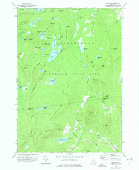
 1989 Schroon Lake1989 Print · USGSThe Adirondack wilderness meets the developed shores of the lake in the late eighties, showing a balance of recreation and forest living. Researchers can find mountain settlements like Irishtown and Loch-Muller alongside recreational features like the Snowmobile Trail.2 unique versions available
 - 1989 Map of Blue Ridge
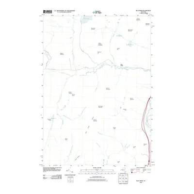
 1989 Blue Ridge1989 Print · USGSThe Adirondack wilderness of Essex County in the late eighties reveals a landscape of high ridges and secluded glacial waters. Researchers can trace the drainage of the Boreas River and locate remote features like Hoffman Notch and the Foot Bridge.
 - 1989 Map of Ticonderoga
 1989 Ticonderoga1989 Print · USGSThe Champlain Valley and Adirondack foothills meet in the late eighties, documenting a historic borderland defined by mountain lakes and timber. Genealogists and historians can trace the paths of the Delaware and Hudson RR or locate the Hubbardton Battlefield State Historic Site.2 unique versions available
 - 1995 Map of Schroon Lake, 1999 Print
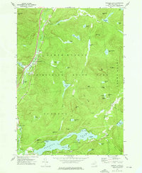
 1995 Schroon Lake1999 Print · USGSThe central Adirondacks appear in the mid-1990s as a landscape of mountain hamlets and sprawling waterways. Genealogists and historians can trace old homesteads and landmarks near Irishtown, Loch Muller, and the village of Schroon Lake.
 - 2010 Map of Graphite, 2010 Print
 2010 Graphite2010 Print · USGSCovers Schroon, including Ticonderoga, Hague, and other nearby areas
 - 2010 Map of Paradox Lake, 2010 Print
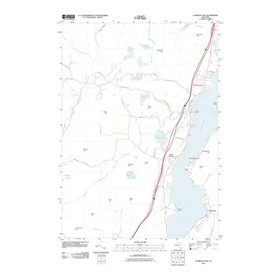
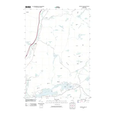 2010 Paradox Lake2010 Print · USGSCovers Schroon, including Ticonderoga, Crown Point, and other nearby areas
 - 2010 Map of Pharaoh Mountain, 2010 Print
 2010 Pharaoh Mountain2010 Print · USGSCovers Schroon, including Ticonderoga, Horicon, and other nearby areas
 - 2010 Map of Minerva, 2010 Print
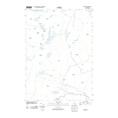
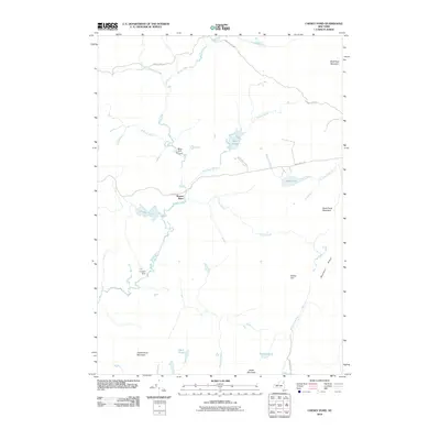
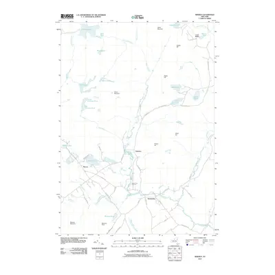 2010 Minerva2010 Print · USGSCovers Schroon, including Chester, Minerva, and other nearby areas
 - 2010 Map of Schroon Lake, 2010 Print
 2010 Schroon Lake2010 Print · USGSCovers Schroon, including Chester, Horicon, and other nearby areas
 - 2010 Map of Blue Ridge, 2010 Print
 2010 Blue Ridge2010 Print · USGSCovers Schroon, including North Hudson, Blue Ridge, and other nearby areas
 - 2010 Map of Cheney Pond, 2010 Print
 2010 Cheney Pond2010 Print · USGSCovers Schroon, including Minerva, Newcomb, and other nearby areas
 - 2013 Map of Schroon Lake, 2013 Print
 2013 Schroon Lake2013 Print · USGSCovers Schroon, including Chester, Horicon, and other nearby areas
Showing maps 1-25 of 52
Top cities near Schroon
- Ticonderoga historical maps
- Moriah historical maps
- Warrensburg historical maps
- Chester historical maps
- Johnsburg historical maps
- Crown Point historical maps
See more
Top neighborhoods of Schroon
- Schroon Falls historical maps
- South Schroon historical maps
- Loch Muller historical maps
- Severance historical maps
- Paradox historical maps
- Schroon Lake historical maps
Frequently asked questions
- What are the different types of historical maps available for Schroon?
- What is the oldest map of Schroon?
- Where can I purchase historical maps of Schroon for my home or office?
- Where can I download high-res historical maps of Schroon?
- Are there historical topographic maps available for Schroon?
- Is there historical aerial imagery available for Schroon?
- Where are historical maps of Schroon sourced from?