Old Maps of Pottersville, Chester
Explore 24 old maps of Pottersville, spanning from 1895 to today. These high-resolution historic maps reveal how streets, neighborhoods, landmarks, and natural features evolved over time — perfect for genealogy, metal detecting, research, and local history exploration.
What you can do with these maps:
- See how Pottersville changed over time: Compare historical maps to modern-day views to trace roads, homesites, rail lines & more.
- View detailed metadata: Each map includes creators, publishers, year, scale, and archive source.
- Overlay maps with satellite & LiDAR: Visualize the past alongside modern tools to explore terrain & human change.
- Trusted historical sources: Maps sourced from the USGS, Library of Congress, and other archives.
- Access maps your way: View online, download high-res files, or order prints for personal or research use.
Start exploring old maps of Pottersville to uncover forgotten places, hidden landmarks, and the deep history beneath your feet.
Pottersville, Chester maps
(24)- 1895 Map of North Creek
 1895 North Creek1895 Print · USGSUpper Warren County thrived as a rail-and-river corridor in the late nineteenth century, documented here just as the wilderness was formally preserved. Genealogists and historians can trace family-named sites from Pottersville to The Glen, alongside the Adirondack Delaware and Hudson RR and Loon Lake.
 - 1897 Map of North Creek
 1897 North Creek1897 Print · USGSThe Adirondack foothills in the 1890s are defined by the Delaware and Hudson River Railroad and the upper Hudson River. Trace old connections between Pottersville, Chestertown, and Johnsburg, or locate early landmarks like Loon Lake and the Ferry near Thurman.10 unique versions available
 - 1897 Map of Schroon Lake
 1897 Schroon Lake1897 Print · USGSAdirondack mountain life in the late nineteenth century centers on the busy waters of Schroon Lake and the surrounding wilderness. Researchers can trace early settlements like Olmstedville and Irishtown or locate the historic Steamboat Route and remote landmarks like Lester Dam.10 unique versions available
 - 1950 Map of Glens Falls
 1950 Glens Falls1950 Print · USGSThe Adirondacks and the Green Mountains meet in this mid-century survey of the New York and Vermont borderlands. Researchers can trace the industrial rail corridors of the Rutland RR and Delaware & Hudson RR connecting Glens Falls, Rutland, and the shores of Lake George.
 - 1953 Map of Schroon Lake, 1956 Print
 1953 Schroon Lake1956 Print · USGSSchroon Lake and the surrounding Adirondack high peaks are captured here in the early fifties before major highway expansion. Genealogists and local historians can trace family-named sites and vanished mountain hamlets like Irishtown, Olmstedville, and St Marys Ch.4 unique versions available
 - 1956 Map of Glens Falls, 1968 Print
 1956 Glens Falls1968 Print · USGSUpper New York and the Vermont mountains are captured here in the mid-fifties, showing the rugged rail-and-river network of the Northeast. Researchers can trace the paths of the Delaware and Hudson RR and Rutland RR as they wind through valley towns like Poultney and Whitehall.3 unique versions available
 - 1958 Map of North Creek, 1960 Print
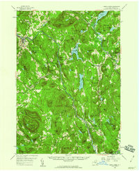 1958 North Creek1960 Print · USGSWarren County’s Adirondack heartland is captured here in the late fifties, showcasing the river-and-rail corridors of the upper Hudson. Trace local history through the Delaware and Hudson rail line, Pottersville hamlets, and the Pack Forest.3 unique versions available
 - 1959 Map of Glens Falls
 1959 Glens Falls1959 Print · USGSUpper New York and Vermont are captured here during the late 1950s, a period of transition for these mountain communities. Researchers can trace the legacy of the region's river-and-rail economy through landmarks like Lake George, Saratoga Springs, and Killington Peak.2 unique versions available
 - 1964 Map of Glens Falls
 1964 Glens Falls1964 Print · USGSThe tri-state borderlands of New York, Vermont, and New Hampshire appear here in the mid-1960s. Researchers can trace the rail routes of the Rutland RR and find historic sites like Ticonderoga and Saratoga National Historical Park.
 - 1968 Map of Chestertown, 1970 Print
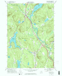 1968 Chestertown1970 Print · USGSThe Adirondack landscape of the late sixties comes to life here, from the resort shores of Loon Lake to the river junction at Starbuckville. Local researchers can trace family landmarks like Underwood Cem, the old Drive-in Theater, and the grounds of the Central Sch.2 unique versions available
 - 1986 Map of Ticonderoga
 1986 Ticonderoga1986 Print · USGSThe Lake Champlain valley in the mid-eighties shows a landscape defined by Revolutionary War history and deep wilderness. Researchers can trace the Delaware and Hudson RR through the mountains or locate local landmarks like Fort Ticonderoga, St. Genevieve Cem, and the Ore Bed.
 - 1989 Map of Schroon Lake
 1989 Schroon Lake1989 Print · USGSThe Adirondack wilderness meets the developed shores of the lake in the late eighties, showing a balance of recreation and forest living. Researchers can find mountain settlements like Irishtown and Loch-Muller alongside recreational features like the Snowmobile Trail.2 unique versions available
 - 1989 Map of Ticonderoga
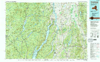 1989 Ticonderoga1989 Print · USGSThe Champlain Valley and Adirondack foothills meet in the late eighties, documenting a historic borderland defined by mountain lakes and timber. Genealogists and historians can trace the paths of the Delaware and Hudson RR or locate the Hubbardton Battlefield State Historic Site.2 unique versions available
 - 1995 Map of Schroon Lake, 1999 Print
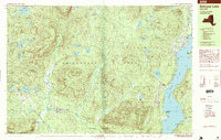 1995 Schroon Lake1999 Print · USGSThe central Adirondacks appear in the mid-1990s as a landscape of mountain hamlets and sprawling waterways. Genealogists and historians can trace old homesteads and landmarks near Irishtown, Loch Muller, and the village of Schroon Lake.
 - 2010 Map of Chestertown, 2010 Print
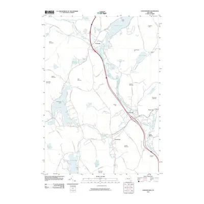 2010 Chestertown2010 Print · USGSAdirondack hamlets and glacial lakes define this Warren County landscape during the early twenty-first century. Genealogists and local historians can trace family roots through Underwood Cemetery and explore the historic layout of Chestertown, Pottersville, and Starbuckville.
 - 2010 Map of Schroon Lake, 2010 Print
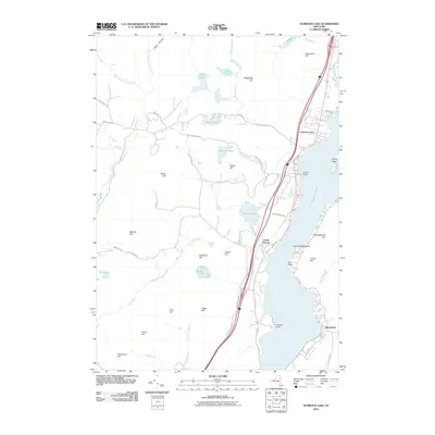 2010 Schroon Lake2010 Print · USGSSchroon Lake and the surrounding Adirondack wilderness are captured here in the early twenty-first century. Researchers can trace local roads and shoreline developments around South Schroon and Adirondack, or locate family landmarks like Quackenbush Hill and Taylors Point.
 - 2013 Map of Schroon Lake, 2013 Print
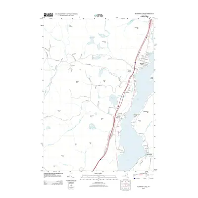 2013 Schroon Lake2013 Print · USGSSchroon Lake and its surrounding uplands are captured here in the early twenty-first century as the area continued its long history as a mountain retreat. Researchers can trace lakeside property lines and local landmarks from South Schroon to the remote waters of Bullet Pond and Big Pond.
 - 2013 Map of Chestertown, 2013 Print
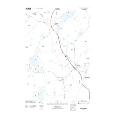 2013 Chestertown2013 Print · USGSChestertown and the surrounding Warren County highlands are captured here in the early twenty-first century as the Schroon River valley continues to balance wilderness and transit. Researchers can trace local landmarks like the Adirondack Natural Stone Bridge, the hamlet of Pottersville, and the shoreline of Friends Lake.
 - 2016 Map of Chestertown, 2016 Print
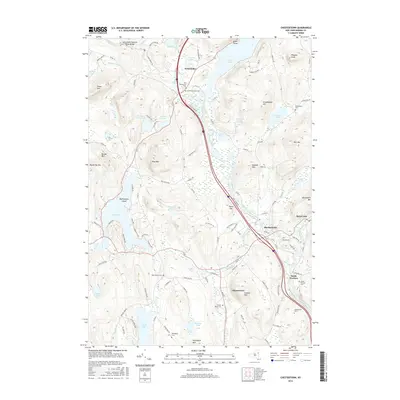 2016 Chestertown2016 Print · USGSThe Chestertown and Pottersville area is shown here in the mid-2010s, capturing the enduring river-and-lake geography of Warren County. Researchers can locate several burial sites like Old Pottersville Cem and West Church Cem, or trace landmarks such as the Adirondack Natural Stone Bridge.
 - 2016 Map of Schroon Lake, 2016 Print
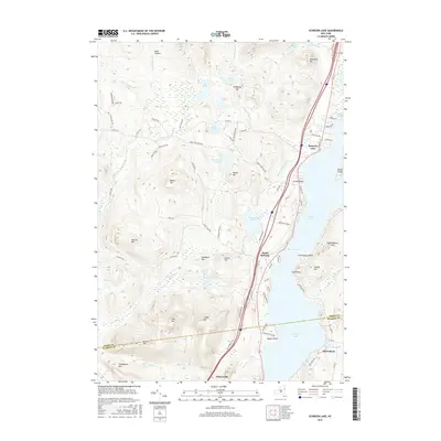 2016 Schroon Lake2016 Print · USGSThe Adirondack lakefront at the southern end of Schroon Lake is captured here during the mid-2010s. Local historians and genealogists can trace property access and landmarks through settlements like Pottersville, South Schroon, and Adirondack.
 - 2019 Map of Schroon Lake, 2019 Print
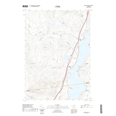 2019 Schroon Lake2019 Print · USGSSchroon Lake and the surrounding Adirondack highlands are captured here in a period of modern preservation and local recreation. Researchers can trace the shoreline developments near South Schroon or locate named landmarks like Severance Hill and Big Pond.
 - 2019 Map of Chestertown, 2019 Print
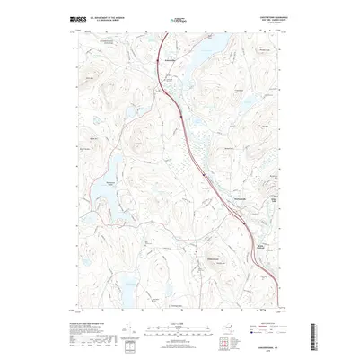 2019 Chestertown2019 Print · USGSThe Adirondack foothills are captured here in the late twenty-teens, showing the established communities of Chestertown and Pottersville. Genealogists can trace family names through several burial grounds like West Church Cem and Chester Rural Cem near Panther Mtn.
 - 2023 Map of Chestertown, 2023 Print
 2023 Chestertown2023 Print · USGSThe Adirondack foothills of Warren County are shown in great detail during the early 2020s, revealing a landscape defined by glacial lakes and river valleys. Genealogists can trace family histories through numerous sites like Pottersville New Cem, Dillingham Cem, and West Church Cem.
 - 2023 Map of Schroon Lake, 2023 Print
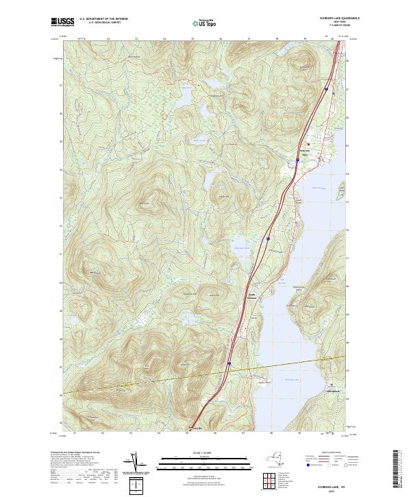 2023 Schroon Lake2023 Print · USGSSchroon Lake and the southern Adirondack peaks are shown in high detail during this contemporary era. Researchers can trace the development of lakeside settlements from South Schroon to Pottersville, while hikers and historians can locate old trails like Severance Trl and landmarks such as Ledge Hill.
End of results
Showing maps 1-24 of 24
Top cities near Pottersville
- Fort Ann historical maps
- Ticonderoga historical maps
- Warrensburg historical maps
- Chester historical maps
- Johnsburg historical maps
- Crown Point historical maps
See more
Frequently asked questions
- What are the different types of historical maps available for Pottersville?
- What is the oldest map of Pottersville?
- Where can I purchase historical maps of Pottersville for my home or office?
- Where can I download high-res historical maps of Pottersville?
- Are there historical topographic maps available for Pottersville?
- Is there historical aerial imagery available for Pottersville?
- Where are historical maps of Pottersville sourced from?