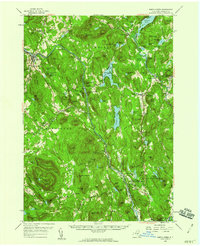
1958 Map of North Creek
USGS Topo · Published 1960About this map
The Hudson River and Schroon River systems converge in this Adirondack landscape, defining the development patterns of Warren County at the end of the 1950s. The Delaware and Hudson railroad tracks parallel the Hudson, connecting the riverside settlements of North Creek, Riparius, and The Glen. This network supported the region's timber and tourism economy, as seen in the sprawling Pack Forest State Demonstration Forest and the established resort character of Schroon Lake and Loon Lake.
Find a feature on this map
124 named features on this map. Tap any name to fly to it.
Don’t see what you’re looking for? This feature index may not catch every label — zoom into the map to look around manually.
Map Details
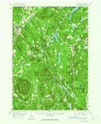
Editions of this 1958 North Creek Map
Other maps of this area

1895 · North Creek
USGS Topo · 1:62,500

1895 · Paradox Lake
USGS Topo · 1:62,500

1895 · Glens Falls
USGS Topo · 1:62,500

1897 · Bolton
USGS Topo · 1:62,500

1897 · Glens Falls
USGS Topo · 1:62,500

1897 · Paradox Lake
USGS Topo · 1:62,500

1897 · North Creek
USGS Topo · 1:62,500

1897 · Schroon Lake
USGS Topo · 1:62,500

1898 · Newcomb
USGS Topo · 1:62,500

1898 · Thirteenth Lake
USGS Topo · 1:62,500