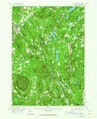
1958 Map of North Creek
USGS Topo · Published 1964About this map
The Hudson River and the Delaware and Hudson RR carve a critical transit corridor through this Adirondack terrain. Following the valley, the rail line links riverside settlements like North Creek, Riparius, and The Glen, marking the region's historical dependence on river-and-rail industry. Higher elevations are defined by prominent peaks including Crane Mountain and Oven Mtn, while the valleys are dotted with significant water bodies such as Loon Lake and the southern reaches of Schroon Lake.
Find a feature on this map
160 named features on this map. Tap any name to fly to it.
Don’t see what you’re looking for? This feature index may not catch every label — zoom into the map to look around manually.
Map Details
Editions of this 1958 North Creek Map
Other maps of this area

1895 · North Creek
USGS Topo · 1:62,500

1895 · Paradox Lake
USGS Topo · 1:62,500

1895 · Glens Falls
USGS Topo · 1:62,500

1897 · Bolton
USGS Topo · 1:62,500

1897 · Glens Falls
USGS Topo · 1:62,500

1897 · Paradox Lake
USGS Topo · 1:62,500

1897 · North Creek
USGS Topo · 1:62,500

1897 · Schroon Lake
USGS Topo · 1:62,500

1898 · Newcomb
USGS Topo · 1:62,500

1898 · Thirteenth Lake
USGS Topo · 1:62,500