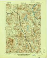
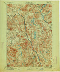
1897 Map of North Creek
USGS Topo · Published 1944About this map
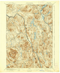
The Hudson River and Schroon River carve parallel north-south valleys through this portion of the Adirondack Park, defining the transportation corridors of the late 19th century. Along the western bank of the Hudson, the Delaware and Hudson railroad terminates at North Creek, a critical railhead for the region's logging and mining interests. The landscape is characterized by a dense concentration of named peaks, such as Crane Mountain and Henderson Mountain, and a network of smaller mountain ponds and larger bodies like Loon Lake and Friends Lake. Local commerce and social life are anchored in settlements like Chestertown, Pottersville, and Johnsburg. The map records several small hamlets that served as crossroads for mountain trade, including Wevertown, Sodom, and The Glen, while a ferry crossing on the Schroon River highlights the reliance on water transport before extensive bridge networks were established.
Find a feature on this map
76 named features on this map. Tap any name to fly to it.
Don’t see what you’re looking for? This feature index may not catch every label — zoom into the map to look around manually.
Map Details
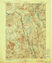
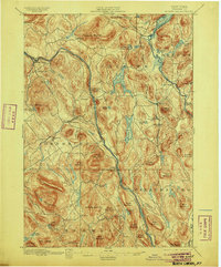
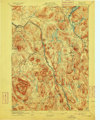
Editions of this 1897 North Creek Map
10 editions found
Other maps of this area

1895 · North Creek
USGS Topo · 1:62,500

1895 · Paradox Lake
USGS Topo · 1:62,500

1895 · Glens Falls
USGS Topo · 1:62,500

1897 · Bolton
USGS Topo · 1:62,500

1897 · Glens Falls
USGS Topo · 1:62,500

1897 · Paradox Lake
USGS Topo · 1:62,500

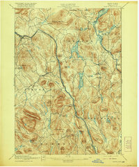
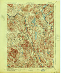
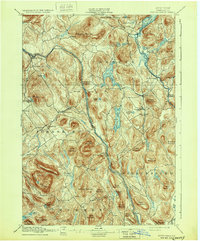
1897 · North Creek
USGS Topo · 1:62,500

1897 · Schroon Lake
USGS Topo · 1:62,500

1898 · Newcomb
USGS Topo · 1:62,500

1898 · Thirteenth Lake
USGS Topo · 1:62,500