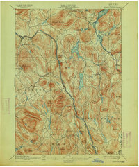
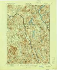
1897 Map of North Creek
USGS Topo · Published 1913About this map
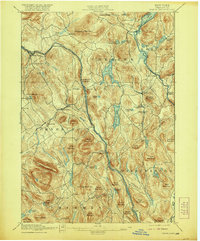
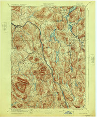
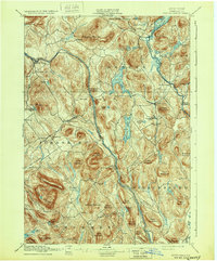
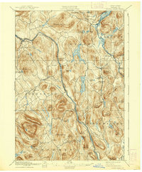
Hudson River headwaters and the Schroon River dominate this 1890s Adirondack landscape, where the Delaware and Hudson RR follows the steep western river valley toward North Creek. The rail line and the Hudson River act as the primary artery through the townships of Johnsburg, Chester, and Thurman, connecting riverside settlements like Riparius and The Glen. In the eastern half of the map, a complex network of glacial lakes including Loon Lake, Friends Lake, and Schroon Lake provided a separate focus for early resort life and transport, evidenced by the Steamboat Route and a Ferry crossing on the water. Small mountain hamlets like Pottersville, Wevertown, and Johnsburg are shown at a time when the region's economy transitioned from timber and tanning toward early mountain tourism, while rugged landmarks like Crane Mountain and Oven Mountain remained central to the local geography.
Find a feature on this map
76 named features on this map. Tap any name to fly to it.
Don’t see what you’re looking for? This feature index may not catch every label — zoom into the map to look around manually.
Map Details
Editions of this 1897 North Creek Map
10 editions found
Other maps of this area

1895 · North Creek
USGS Topo · 1:62,500

1895 · Paradox Lake
USGS Topo · 1:62,500

1895 · Glens Falls
USGS Topo · 1:62,500

1897 · Bolton
USGS Topo · 1:62,500

1897 · Glens Falls
USGS Topo · 1:62,500

1897 · Paradox Lake
USGS Topo · 1:62,500

1897 · North Creek
USGS Topo · 1:62,500

1897 · Schroon Lake
USGS Topo · 1:62,500

1898 · Newcomb
USGS Topo · 1:62,500

1898 · Thirteenth Lake
USGS Topo · 1:62,500