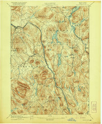
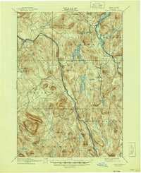
1897 Map of North Creek
USGS Topo · Published 1920About this map
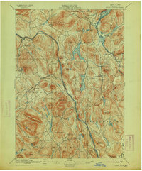
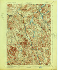
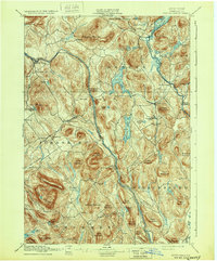
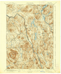
The Hudson River carves a deep path through Warren County in this late 19th-century survey, serving as the primary corridor for the Delaware and Hudson RR. This rail line connects several riverside settlements, including Riverside, Riparius, and The Glen, which functioned as critical nodes for local trade and transport. To the east, the landscape transitions into a series of interconnected water bodies such as Friends Lake, Loon Lake, and the upper reaches of the Schroon Lake via a designated Steamboat Route passing through Pottersville.
Find a feature on this map
79 named features on this map. Tap any name to fly to it.
Don’t see what you’re looking for? This feature index may not catch every label — zoom into the map to look around manually.
Map Details
Editions of this 1897 North Creek Map
10 editions found
Other maps of this area

1895 · North Creek
USGS Topo · 1:62,500

1895 · Paradox Lake
USGS Topo · 1:62,500

1895 · Glens Falls
USGS Topo · 1:62,500

1897 · Bolton
USGS Topo · 1:62,500

1897 · Glens Falls
USGS Topo · 1:62,500

1897 · Paradox Lake
USGS Topo · 1:62,500

1897 · North Creek
USGS Topo · 1:62,500

1897 · Schroon Lake
USGS Topo · 1:62,500

1898 · Newcomb
USGS Topo · 1:62,500

1898 · Thirteenth Lake
USGS Topo · 1:62,500