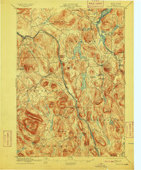
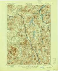
1897 Map of North Creek
USGS Topo · Published 1909About this map
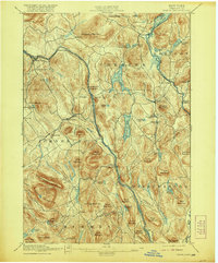
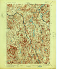
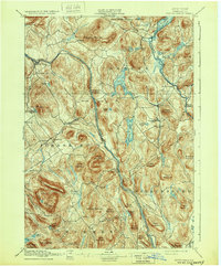
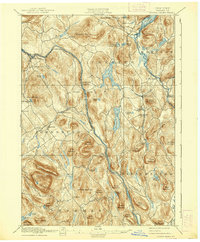
The Hudson River carves a deep valley through the southern Adirondacks, serving as the primary corridor for the Delaware and Hudson R R. This rail line connects small mountain settlements like Riverside and Riparius to North Creek, reflecting the importance of both timber and early tourism at the close of the nineteenth century. Surrounding the river valley, the terrain is defined by prominent peaks including Crane Mountain and Huckleberry Mountain, while to the east, the Stage Route winds past Schroon Lake toward Pottersville.
Find a feature on this map
78 named features on this map. Tap any name to fly to it.
Don’t see what you’re looking for? This feature index may not catch every label — zoom into the map to look around manually.
Map Details
Editions of this 1897 North Creek Map
10 editions found
Other maps of this area

1895 · North Creek
USGS Topo · 1:62,500

1895 · Paradox Lake
USGS Topo · 1:62,500

1895 · Glens Falls
USGS Topo · 1:62,500

1897 · Bolton
USGS Topo · 1:62,500

1897 · Glens Falls
USGS Topo · 1:62,500

1897 · Paradox Lake
USGS Topo · 1:62,500

1897 · North Creek
USGS Topo · 1:62,500

1897 · Schroon Lake
USGS Topo · 1:62,500

1898 · Newcomb
USGS Topo · 1:62,500

1898 · Thirteenth Lake
USGS Topo · 1:62,500