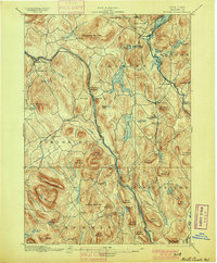
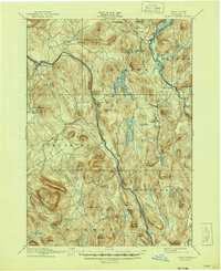
1897 Map of North Creek
USGS Topo · Published 1900About this map
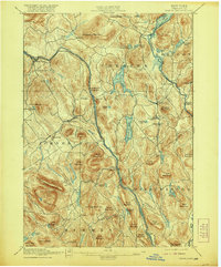
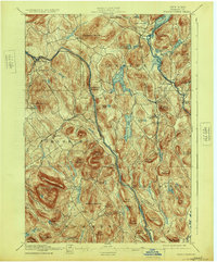
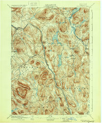
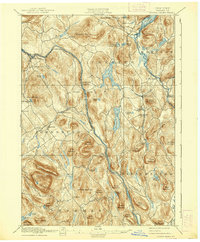
The Adirondack Railway and the Delaware and Hudson RR define the transport corridor of this late 19th-century mountain landscape, following the river valley through North Creek, Riverside, and The Glen. The topography is dominated by massive peaks such as Crane Mountain, Henderson Mountain, and Gage Mountain, while the lowlands are punctuated by a dense network of water bodies including Schroon Lake, Friends Lake, and Loon Lake.
Find a feature on this map
78 named features on this map. Tap any name to fly to it.
Don’t see what you’re looking for? This feature index may not catch every label — zoom into the map to look around manually.
Map Details
Editions of this 1897 North Creek Map
10 editions found
Other maps of this area

1895 · North Creek
USGS Topo · 1:62,500

1895 · Paradox Lake
USGS Topo · 1:62,500

1895 · Glens Falls
USGS Topo · 1:62,500

1897 · Bolton
USGS Topo · 1:62,500

1897 · Glens Falls
USGS Topo · 1:62,500

1897 · Paradox Lake
USGS Topo · 1:62,500

1897 · North Creek
USGS Topo · 1:62,500

1897 · Schroon Lake
USGS Topo · 1:62,500

1898 · Newcomb
USGS Topo · 1:62,500

1898 · Thirteenth Lake
USGS Topo · 1:62,500