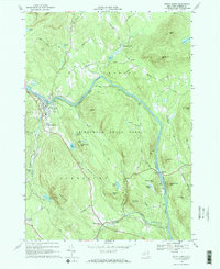
1968 Map of North Creek
USGS Topo · Published 1970About this map
The Hudson River winds through the heart of this Warren County landscape, defining the character of several riverside communities in the late 1960s. The settlement of North Creek serves as a primary hub, featuring the Central Sch and the Bennett Landing Strip nearby. Infrastructure of the era is anchored by the Delaware and Hudson railroad, which follows the river's path to the crossing at Riparius. Inside the Adirondack State Park boundary, the terrain is marked by numerous summits and high-elevation waters including Oven Mountain, Huckleberry Mtn, and Antler Lake. Smaller settlements like Holcombville, Wevertown, and the curiously named Sodom appear along the road network, which includes Byrnes Road and Holland RD. This survey provides a clear view of the mountain-and-river geography before modern development shifted the local footprint.
Find a feature on this map
57 named features on this map. Tap any name to fly to it.
Don’t see what you’re looking for? This feature index may not catch every label — zoom into the map to look around manually.
Map Details
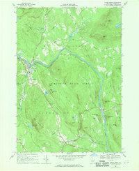
Editions of this 1968 North Creek Map
2 editions found
Other maps of this area

1895 · North Creek
USGS Topo · 1:62,500

1897 · North Creek
USGS Topo · 1:62,500

1897 · Schroon Lake
USGS Topo · 1:62,500

1898 · Newcomb
USGS Topo · 1:62,500

1898 · Thirteenth Lake
USGS Topo · 1:62,500

1901 · Newcomb
USGS Topo · 1:62,500

1950 · Glens Falls
USGS Topo · 1:250,000

1950 · Utica
USGS Topo · 1:250,000

1953 · Schroon Lake
USGS Topo · 1:62,500

1954 · Newcomb
USGS Topo · 1:62,500