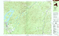
Old Maps of Wilmington, New York for Genealogy
Trace your family roots with 39 historic maps of Wilmington. These high-res maps reveal old neighborhoods, homesites, landmarks, and streets — helping you uncover where your ancestors lived and how the area evolved over time.
- Explore historic neighborhoods: Identify where your relatives may have lived in the 1800s or 1900s.
- Compare maps over time: Trace the changes in streets, buildings, and landmarks for multi-generational research.
- Perfect for genealogy & ancestry research: Used by family historians and researchers to map out lineage and migration.
These maps are an incredible resource for exploring your personal connection to Wilmington's past.
Wilmington, NY maps
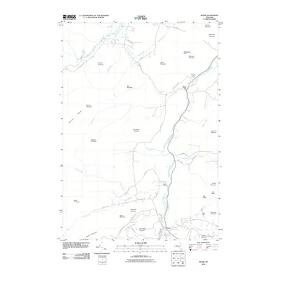
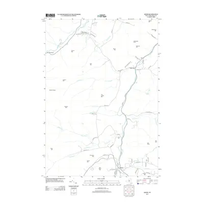
(39)- 1895 Map of Ausable
 1895 Ausable1895 Print · USGSThe Adirondack foothills come alive in the late nineteenth century as the river-and-rail economy takes hold. Trace the industrial footprint of Ausable Forks and find vanished landmarks like Towers Forge and the historic Stickney Bridge.2 unique versions available
 - 1896 Map of Lake Placid
 1896 Lake Placid1896 Print · USGSThe High Peaks wilderness of the 1890s reveals a landscape of early iron industry and burgeoning mountain tourism. Genealogists and hikers can trace the original paths around John Browns Grave, the industry at West Kilns, and the early buildings at Undercliff.
 - 1898 Map of Lake Placid
 1898 Lake Placid1898 Print · USGSThe Adirondack High Peaks are captured here in the late nineteenth century as the region evolved into a premier destination for hikers and historians. Trace the early settlement of Lake Placid, the industrial sites at West Kilns, and the landmark John Browns Grave.12 unique versions available
 - 1903 Map of Ausable
 1903 Ausable1903 Print · USGSThe Adirondack foothills come to life at the turn of the century as industrial hamlets and mountain outposts follow the river forks. Researchers can trace the D. and H. C. Co. R. R. through Ausable Forks and find family-named landmarks like Towers Forge and the Willey House.7 unique versions available
 - 1950 Map of Lake Champlain
 1950 Lake Champlain1950 Print · USGSThe Lake Champlain valley and its surrounding peaks are captured in detail during the late 1940s, showing the vital rail and road connections between New York and Vermont. Researchers can trace the routes of the Central Vermont Railway or locate old industrial centers like Mineville and Witherbee.2 unique versions available
 - 1953 Map of Lake Placid, 1957 Print
 1953 Lake Placid1957 Print · USGSThe High Peaks region during the mid-fifties shows a landscape defined by mountain hamlets and early Adirondack tourism. Genealogists and historians can trace family sites at Quaker Cem, the John Browns Grave historic site, and early industrial landmarks like West Kilns.4 unique versions available
 - 1953 Map of Au Sable Forks, 1957 Print
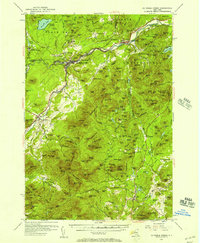 1953 Au Sable Forks1957 Print · USGSThe Adirondack foothills in the early fifties reveal a landscape where river industry meets mountain wilderness. Researchers can trace historic iron-working sites like Ore Mines and Soper Kiln, or locate family landmarks such as Stevens Landing and North Jay Cem.3 unique versions available
 - 1958 Map of Lake Champlain
 1958 Lake Champlain1958 Print · USGSThe Champlain Valley and surrounding high peaks are captured here in the late fifties, showcasing the cross-border region from the Adirondacks to the Green Mountains. Researchers can trace historic rail routes like the Rutland Railway or locate old valley settlements such as Keeseville and Vergennes.2 unique versions available
 - 1962 Map of Lake Champlain, 1975 Print
 1962 Lake Champlain1975 Print · USGSLake Champlain and the high peaks of the Adirondacks and Green Mountains are captured here during the mid-twentieth century. Researchers can trace the industrial legacy of the Lyon Mountain Mine and the rail corridors of the Central Vermont RR and Delaware & Hudson RR.3 unique versions available
 - 1978 Map of Wilmington, 1979 Print
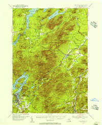
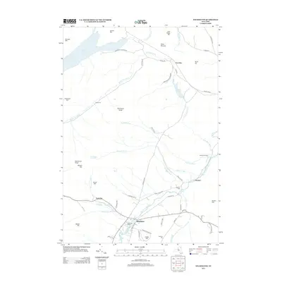
 1978 Wilmington1979 Print · USGSThe Adirondacks near Wilmington in the 1970s reveal a landscape defined by high peaks and mountain industries. Genealogists and hikers can trace the Memorial Highway up Whiteface Mountain or locate old sites like Middle Kilns and Haselton Cem.
 - 1978 Map of Au Sable Forks, 1979 Print
 1978 Au Sable Forks1979 Print · USGSIn the Adirondack mountains during the late seventies, the junction of the east and west river branches defines the local landscape. Genealogists can trace family names at Holy Name Cem and Riverview Cem while locating old industries like the Quarries and Arnold Hill mines.3 unique versions available
 - 1979 Map of Lake Placid
 1979 Lake Placid1979 Print · USGSThe Lake Placid region in the late seventies reveals a landscape on the verge of the Winter Games. Trace the development of Olympic venues like the Olympic Arena and 90-meter Tower alongside local landmarks like John Browns Grave.
 - 1986 Map of Lake Champlain South
 1986 Lake Champlain South1986 Print · USGSIn the mid-1980s, the shores of Lake Champlain linked the Adirondack high peaks with the Vermont valley. Genealogists and researchers can trace the rail lines of the Delaware & Hudson RR or locate historic settlements like Mineville and Au Sable Forks.2 unique versions available
 - 1999 Map of Lake Placid, 2001 Print
 1999 Lake Placid2001 Print · USGSLake Placid at the end of the twentieth century shows a landscape defined by Olympic legacy and abolitionist history. Trace the grounds of the John Brown Farm or locate athletic landmarks like the Olympic Ski Jumps and Olympic Arena.
 - 2010 Map of Wilmington, 2010 Print
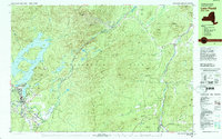
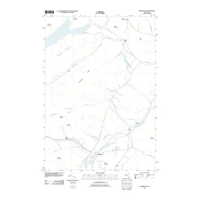 2010 Wilmington2010 Print · USGSCovers Wilmington, including Jay, Black Brook, and other nearby areas
 - 2010 Map of Lake Placid, 2010 Print
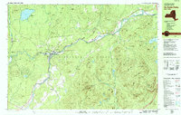
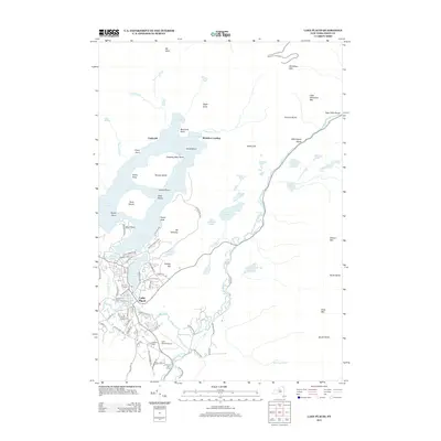
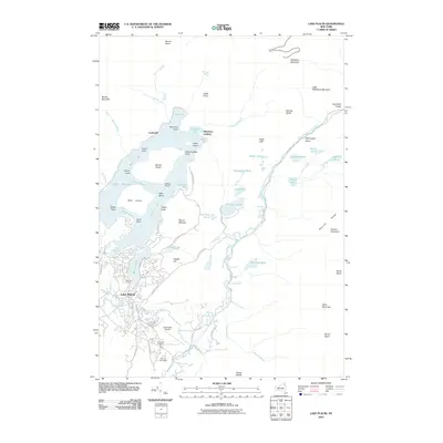 2010 Lake Placid2010 Print · USGSCovers Wilmington, including North Elba, Lake Placid, and other nearby areas
 - 2010 Map of Keene, 2010 Print
 2010 Keene2010 Print · USGSCovers Wilmington, including Jay, Keene, and other nearby areas
 - 2010 Map of Franklin Falls, 2010 Print
 2010 Franklin Falls2010 Print · USGSCovers Wilmington, including Black Brook, Saint Armand, and other nearby areas
 - 2012 Map of Au Sable Forks, 2012 Print
 2012 Au Sable Forks2012 Print · USGSCovers Wilmington, including AuSable, Jay, and other nearby areas
 - 2013 Map of Keene, 2013 Print
 2013 Keene2013 Print · USGSCovers Wilmington, including Jay, Keene, and other nearby areas
 - 2013 Map of Lake Placid, 2013 Print
 2013 Lake Placid2013 Print · USGSCovers Wilmington, including North Elba, Lake Placid, and other nearby areas
 - 2013 Map of Franklin Falls, 2013 Print
 2013 Franklin Falls2013 Print · USGSCovers Wilmington, including Black Brook, Saint Armand, and other nearby areas
 - 2013 Map of Au Sable Forks, 2013 Print
 2013 Au Sable Forks2013 Print · USGSCovers Wilmington, including AuSable, Jay, and other nearby areas
 - 2013 Map of Wilmington, 2013 Print
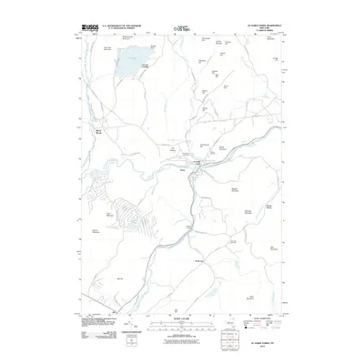
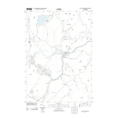
 2013 Wilmington2013 Print · USGSCovers Wilmington, including Jay, Black Brook, and other nearby areas
 - 2016 Map of Au Sable Forks, 2016 Print
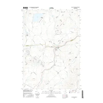 2016 Au Sable Forks2016 Print · USGSCovers Wilmington, including AuSable, Jay, and other nearby areas
Showing maps 1-25 of 39
Top cities near Wilmington
- North Elba historical maps
- Peru historical maps
- Saranac historical maps
- AuSable historical maps
- Jay historical maps
- Chesterfield historical maps
See more
Top neighborhoods of Wilmington
Frequently asked questions
- What are the different types of historical maps available for Wilmington?
- What is the oldest map of Wilmington?
- Where can I purchase historical maps of Wilmington for my home or office?
- Where can I download high-res historical maps of Wilmington?
- Are there historical topographic maps available for Wilmington?
- Is there historical aerial imagery available for Wilmington?
- Where are historical maps of Wilmington sourced from?