Old Maps of Broadalbin, New York for Metal Detecting
Plan your next treasure hunt with 16 historic maps of Broadalbin. Find old homesites, ghost towns, trails, and gathering spots that may be lost to time — perfect for identifying promising metal detecting locations.
- Locate forgotten sites: Uncover places like long-lost settlements, abandoned rail lines, or gathering spots.
- Plan better hunts: Use map overlays combined with LiDAR or satellite views to narrow in on historically rich areas.
- Made for detectorists: Thousands of hobbyists use these maps to discover relics, coins, and hidden history.
Use these historic maps to boost your research and find new opportunities beneath the surface of Broadalbin.
Broadalbin, NY maps
(16)- 1899 Map of Broadalbin, 1954 Print
 1899 Broadalbin1954 Print · USGSFulton and Saratoga counties are shown here just before the turn of the century as the local economy balanced rail transport and river-powered industry. Genealogists can trace family roots through numerous mill hamlets and settlements like Northampton, Vail Mills, and Osborn Bridge.
 - 1902 Map of Broadalbin
 1902 Broadalbin1902 Print · USGSThe Sacandaga River valley is shown here at the turn of the century, prior to the major hydroelectric projects that reshaped this Fulton County landscape. Genealogists can trace early homesteads and milling sites near Vail Mills, Hagedorns Mills, and the Sacandaga Park rail terminus.9 unique versions available
 - 1945 Map of Broadalbin, 1963 Print
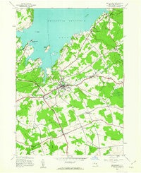 1945 Broadalbin1963 Print · USGSFulton County settlements and the southern reaches of the Adirondack Park are captured here just after the war. Family researchers can trace ancestors through namesake locations like Honeywell Corners, Yates Cem, and rural schoolhouses including Black Street Sch.
 - 1946 Map of Broadalbin
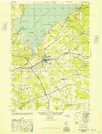 1946 Broadalbin1946 Print · USGSFulton County appears at the edge of the Adirondacks just after the war, showing the local impact of the Sacandaga Reservoir. Researchers can trace rural school districts like Black Street Sch and historic transport lines including the Fonda Johnstown and Gloversville.
 - 1950 Map of Utica, 1951 Print
 1950 Utica1951 Print · USGSCentral New York in the post-war era showcases the industrial Mohawk Valley and the pristine Adirondack interior. Researchers can trace transportation networks like the New York Central Railroad and find early Cold War sites such as Griffiss Air Force Base.
 - 1957 Map of Utica
 1957 Utica1957 Print · USGSCentral New York and the Adirondack foothills are captured here in the mid-fifties, showing a landscape defined by the Mohawk River corridor and the growing highway system. Genealogists and researchers can trace the rail lines of the New York Central and locate communities from Lowville to Gloversville.
 - 1962 Map of Utica
 1962 Utica1962 Print · USGSCentral New York and the Adirondack wilderness are captured here during the mid-century era of highway and industrial expansion. Genealogists and historians can trace the development of the New York State Thruway and local rail lines connecting Utica, Rome, and Gloversville.3 unique versions available
 - 1964 Map of Utica
 1964 Utica1964 Print · USGSCentral New York and the high wilderness of the Adirondacks are captured here during the post-war era of infrastructure expansion. Researchers can trace the development of the New York State Thruway alongside historic corridors like the Oneida Lake (Barge Canal Route) and the N. Y. Central railroad.
 - 1967 Map of Utica
 1967 Utica1967 Print · USGSCentral New York's industrial Mohawk Valley meets the Adirondack wilderness in the 1960s, showing the region's transition from manufacturing hubs to state-managed parklands. Trace historic settlements and sites like Griffiss Air Force Base, Colgate University, and the Lyons Falls Paper Mill.
 - 1970 Map of Broadalbin, 1972 Print
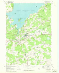 1970 Broadalbin1972 Print · USGSThe foothills of the Adirondacks meet the southern shores of the lake during the early seventies, showing a landscape of lakeside points and inland hamlets. Researchers can trace family sites at Perth Cem, the route of the Fonda Johnstown and Gloversville rail, and local industry at Stever Mill.
 - 1985 Map of Gloversville, 1986 Print
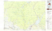 1985 Gloversville1986 Print · USGSThe southern Adirondacks meet the Mohawk Valley industrial corridor during the mid-eighties, showcasing a landscape of high-country lakes and riverside manufacturing towns. Trace the historical alignment of the Erie Canal and Conrail lines or locate landmarks like the Herkimer Home State Historic Site.2 unique versions available
 - 2010 Map of Broadalbin, 2010 Print
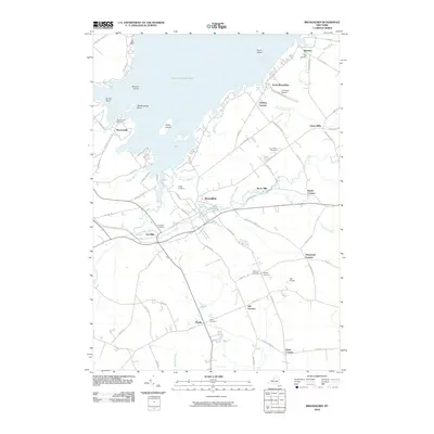 2010 Broadalbin2010 Print · USGSFulton County settlements and the southern reaches of the Sacandaga waterway are captured here in the early twenty-first century. Researchers can trace family roots through numerous burial grounds like Union Mills Cemetery and locate old landmarks such as Stever Mill and Vail Mills.
 - 2013 Map of Broadalbin, 2013 Print
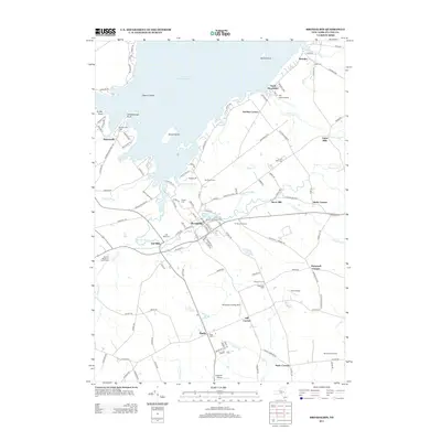 2013 Broadalbin2013 Print · USGSFulton County settlements sit along the southern shore of the Great Sacandaga Lake in the early twenty-first century. Researchers can trace historic local industry and family roots at Vail Mills, Stever Mill, Union Mills Cem, and the El Rancho Drive-In.
 - 2016 Map of Broadalbin, 2016 Print
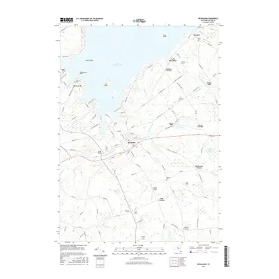 2016 Broadalbin2016 Print · USGSFulton County settlements and the southeastern shores of the Great Sacandaga Lake appear here in the mid-2010s. Genealogists and local historians can trace family locations through several burial grounds like Vail Mills Cem and Perth Cem, or locate landmarks such as Stever Mill.
 - 2019 Map of Broadalbin, 2019 Print
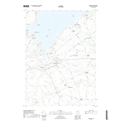 2019 Broadalbin2019 Print · USGSFulton County south of the Great Sacandaga Lake is shown here in the late twenty-tens, documenting a landscape of historic mill towns and rural cemeteries. Genealogists and local historians can trace family plots at Broadalbin-Mayfield Rural Cem and locate old crossroads like Honeywell Corners or Stairs Corners.
 - 2023 Map of Broadalbin, 2023 Print
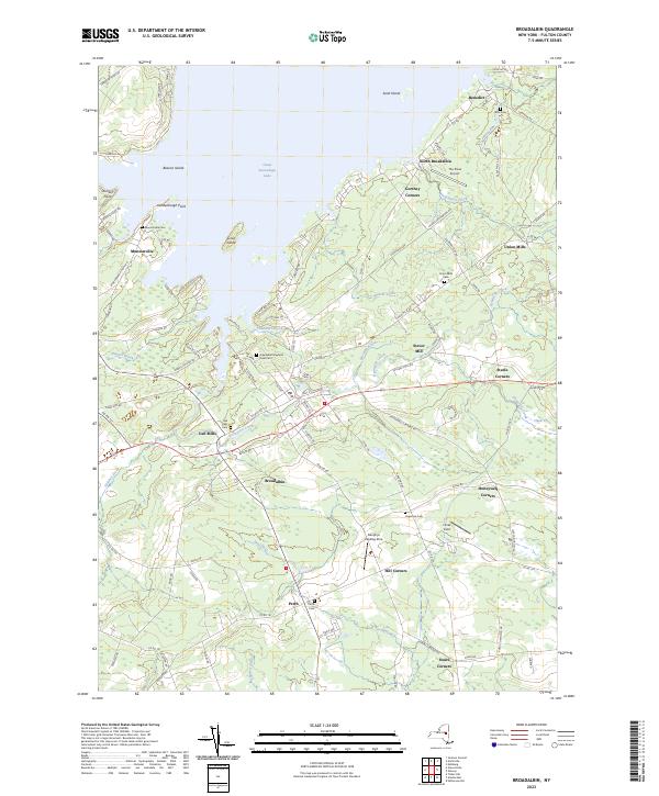 2023 Broadalbin2023 Print · USGSFulton County’s southern lakefront and rural interior are shown here in recent detail, where historical hamlets meet the waters of the Great Sacandaga. Researchers can trace family roots at the Broadalbin Mayfield Rural Cem or locate old industrial sites like Vail Mills and Union Mills.
End of results
Showing maps 1-16 of 16
Top cities near Broadalbin
- Schenectady historical maps
- Rotterdam historical maps
- Glenville historical maps
- West Glenville historical maps
- Amsterdam historical maps
- Gloversville historical maps
See more
Frequently asked questions
- What are the different types of historical maps available for Broadalbin?
- What is the oldest map of Broadalbin?
- Where can I purchase historical maps of Broadalbin for my home or office?
- Where can I download high-res historical maps of Broadalbin?
- Are there historical topographic maps available for Broadalbin?
- Is there historical aerial imagery available for Broadalbin?
- Where are historical maps of Broadalbin sourced from?