Old Maps of Jericon Corners, Bergen for Genealogy
Trace your family roots with 13 historic maps of Jericon Corners. These high-res maps reveal old neighborhoods, homesites, landmarks, and streets — helping you uncover where your ancestors lived and how the area evolved over time.
- Explore historic neighborhoods: Identify where your relatives may have lived in the 1800s or 1900s.
- Compare maps over time: Trace the changes in streets, buildings, and landmarks for multi-generational research.
- Perfect for genealogy & ancestry research: Used by family historians and researchers to map out lineage and migration.
These maps are an incredible resource for exploring your personal connection to Jericon Corners's past.
Jericon Corners, Bergen maps
(13)- 1899 Map of Brockport
 1899 Brockport1899 Print · USGSMonroe and Genesee Counties are captured here at the close of the nineteenth century as the industrial power of the Erie Canal and five different railroads reshaped the landscape. Genealogists and local historians can trace family-named sites and vanished hamlets like Moreton Farm, Hinkleyville, and Stone Church.8 unique versions available
 - 1935 Map of Churchville
 1935 Churchville1935 Print · USGSWestern Monroe County was a hub of rail travel and agriculture in the 1930s. Genealogists and historians can trace the foundations of local life through sites like Churchville Park, the rural settlement of Beulah, and old local schools like School No 9.
 - 1944 Map of Churchville
 1944 Churchville1944 Print · USGSMonroe and Genesee counties are captured here in the mid-1940s, showing a landscape defined by the New York Central System and Bergen Swamp Wild Life Sanctuary. Researchers can trace rural school districts like School No 9 and settlements at Stone Church or Beulah.
 - 1950 Map of Churchville, 1952 Print
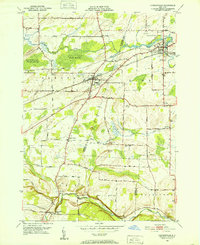 1950 Churchville1952 Print · USGSThe rural borderlands of Genesee and Monroe Counties come alive in this mid-century survey of the New York Central rail corridor. Researchers can trace historic farmstead locations and early settlements like Stone Church, Jericon Corners, and the scenic Buttermilk Falls.2 unique versions available
 - 1960 Map of Rochester
 1960 Rochester1960 Print · USGSThe Lake Ontario shoreline in the late fifties was a bustling corridor of rail and water commerce. Genealogists and historians can trace the path of the New York Central through canal towns like Newark or explore the coastal landmarks around Sackets Harbor.2 unique versions available
 - 1961 Map of Rochester, 1973 Print
 1961 Rochester1973 Print · USGSThe Lake Ontario shoreline and Finger Lakes frontier are shown here at the height of the mid-century infrastructure boom. Genealogists and historians can trace the rail-and-road evolution from Sackets Harbor down to the New York State Thruway, passing through centers like Pulaski and Adams Center.3 unique versions available
 - 1965 Map of Rochester
 1965 Rochester1965 Print · USGSUpstate New York's industrial heartland is captured here during a period of significant growth between the Great Lakes and the Finger Lakes. Genealogists and historians can trace the evolution of canal towns and rail hubs from Rochester to Syracuse, noting features like the Erie Canal and the New York State Thruway.
 - 1984 Map of Rochester
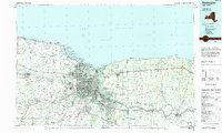 1984 Rochester1984 Print · USGSThe Rochester lakefront and Genesee Valley are shown here in the mid-eighties as suburban growth reached historic canal towns and rural outposts. Genealogists can locate family landmarks like Mud Mills, the Angel Moroni Monument, and Lake View Cemetery.2 unique versions available
 - 2010 Map of Churchville, 2010 Print
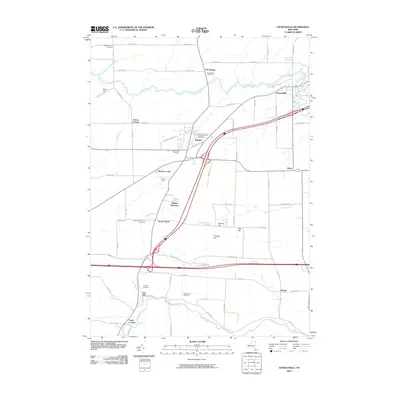 2010 Churchville2010 Print · USGSWestern New York's agricultural heartland is documented here at the turn of the millennium, showing the rural landscapes between Le Roy and Bergen. Researchers can trace local heritage through numerous burial sites like Fort Hill Cemetery and landmarks such as Buttermilk Falls.
 - 2013 Map of Churchville, 2013 Print
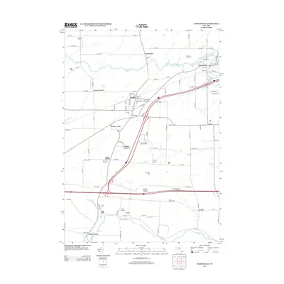 2013 Churchville2013 Print · USGSThe villages of Bergen and Churchville sit at the center of this western New York agricultural region during the early twenty-first century. Researchers can trace numerous local burial grounds like Willowbank Cem and Mt Rest Cem or explore small settlements such as Beulah and Jericon Corners.
 - 2016 Map of Churchville, 2016 Print
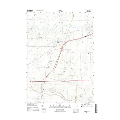 2016 Churchville2016 Print · USGSWestern New York's rural crossroads and wetlands are captured here in the mid-2010s as modern highways bypass quiet village centers. Trace family history through numerous burial grounds like Creekside Cemetery and Saint Brigids Catholic Cemetery near Bergen.
 - 2019 Map of Churchville, 2019 Print
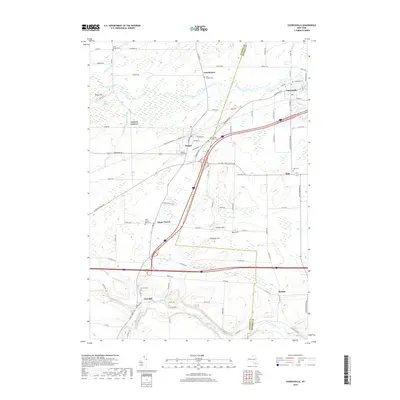 2019 Churchville2019 Print · USGSGenesee and Monroe Counties appear here in the modern era, showing the enduring rural layout of the region. Genealogists can locate several historic burial sites, including Stone Church Rural Cem, Mount Rest Cem, and the high ground at Fort Hill.
 - 2023 Map of Churchville, 2023 Print
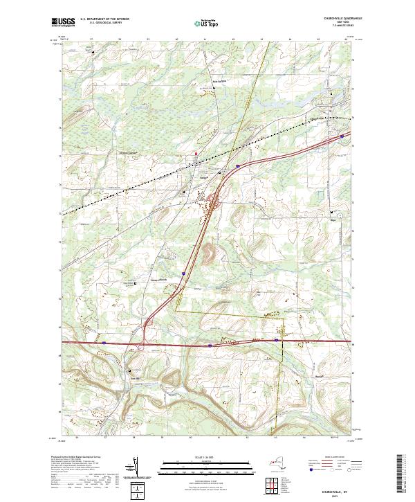 2023 Churchville2023 Print · USGSThe borderlands of Monroe and Genesee Counties come into focus in this contemporary survey of the region west of Rochester. Researchers can pinpoint several historic burial sites, including Stone Church Rural Cem and Creekside Cem, or trace the path of Oatka Creek past Fort Hill.
End of results
Showing maps 1-13 of 13
Top cities near Jericon Corners
- Greece historical maps
- Gates historical maps
- Chili historical maps
- Ogden historical maps
- Parma historical maps
- Batavia historical maps
See more
Frequently asked questions
- What are the different types of historical maps available for Jericon Corners?
- What is the oldest map of Jericon Corners?
- Where can I purchase historical maps of Jericon Corners for my home or office?
- Where can I download high-res historical maps of Jericon Corners?
- Are there historical topographic maps available for Jericon Corners?
- Is there historical aerial imagery available for Jericon Corners?
- Where are historical maps of Jericon Corners sourced from?