2000s (21st Century) Maps of Bethany, New York
Explore 20 historic maps of Bethany from the 2000s (21st Century). These maps offer a rare glimpse into what life looked like during the 2000s — showing old roads, neighborhoods, homes, and landmarks that have changed or disappeared over time.
Whether you're researching your family's past, planning a metal detecting trip, or studying how Bethany's landscape evolved across the 2000s, these high-resolution maps are a powerful tool for exploring the history of this region.
- Focus on a specific era: All maps on this page are from the 2000s, giving you a focused view of this time period.
- See what’s changed: Compare century-old streets, trails, and buildings to today's modern landscape using overlays and satellite layers.
- Research with precision: Use these maps for genealogy, historical research, land use analysis, or educational projects.
- View, download, or print: Maps are fully viewable online in high resolution, and can be downloaded or printed for your own records.
Start exploring Bethany's history through authentic maps from the 2000s. This is your window into the past.
Bethany, NY maps
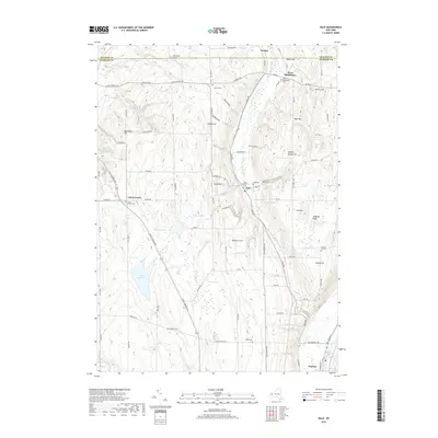
(20)- 2010 Map of Batavia South, 2010 Print
 2010 Batavia South2010 Print · USGSCovers Bethany, including Batavia, Batavia, and other nearby areas
 - 2010 Map of Stafford, 2010 Print
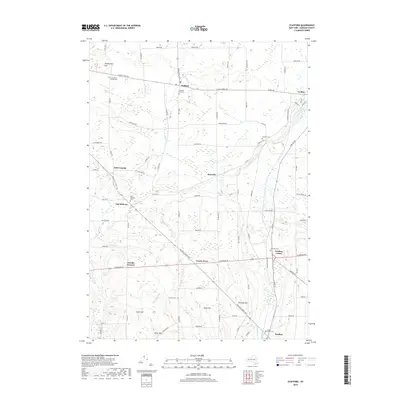
 2010 Stafford2010 Print · USGSCovers Bethany, including LeRoy, LeRoy, and other nearby areas
 - 2010 Map of Wyoming, 2010 Print
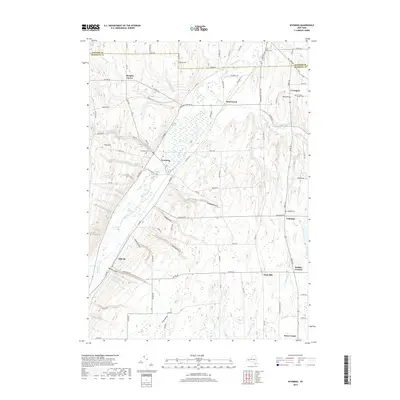
 2010 Wyoming2010 Print · USGSCovers Bethany, including Perry, Warsaw, and other nearby areas
 - 2010 Map of Dale, 2010 Print
 2010 Dale2010 Print · USGSCovers Bethany, including Attica, Warsaw, and other nearby areas
 - 2013 Map of Batavia South, 2013 Print
 2013 Batavia South2013 Print · USGSCovers Bethany, including Batavia, Batavia, and other nearby areas
 - 2013 Map of Wyoming, 2013 Print
 2013 Wyoming2013 Print · USGSCovers Bethany, including Perry, Warsaw, and other nearby areas
 - 2013 Map of Dale, 2013 Print
 2013 Dale2013 Print · USGSCovers Bethany, including Attica, Warsaw, and other nearby areas
 - 2013 Map of Stafford, 2013 Print
 2013 Stafford2013 Print · USGSCovers Bethany, including LeRoy, LeRoy, and other nearby areas
 - 2016 Map of Wyoming, 2016 Print
 2016 Wyoming2016 Print · USGSCovers Bethany, including Perry, Warsaw, and other nearby areas
 - 2016 Map of Batavia South, 2016 Print
 2016 Batavia South2016 Print · USGSCovers Bethany, including Batavia, Batavia, and other nearby areas
 - 2016 Map of Stafford, 2016 Print
 2016 Stafford2016 Print · USGSCovers Bethany, including LeRoy, LeRoy, and other nearby areas
 - 2016 Map of Dale, 2016 Print
 2016 Dale2016 Print · USGSCovers Bethany, including Attica, Warsaw, and other nearby areas
 - 2019 Map of Dale, 2019 Print
 2019 Dale2019 Print · USGSCovers Bethany, including Attica, Warsaw, and other nearby areas
 - 2019 Map of Batavia South, 2019 Print
 2019 Batavia South2019 Print · USGSCovers Bethany, including Batavia, Batavia, and other nearby areas
 - 2019 Map of Stafford, 2019 Print
 2019 Stafford2019 Print · USGSCovers Bethany, including LeRoy, LeRoy, and other nearby areas
 - 2019 Map of Wyoming, 2019 Print
 2019 Wyoming2019 Print · USGSCovers Bethany, including Perry, Warsaw, and other nearby areas
 - 2023 Map of Stafford, 2023 Print
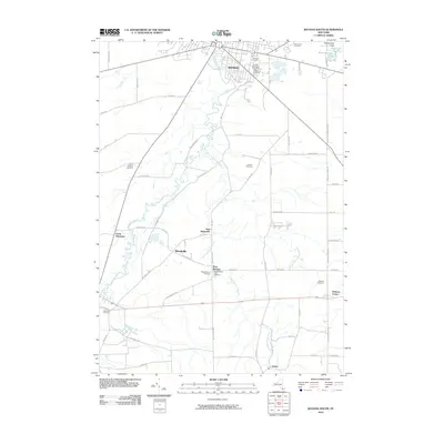
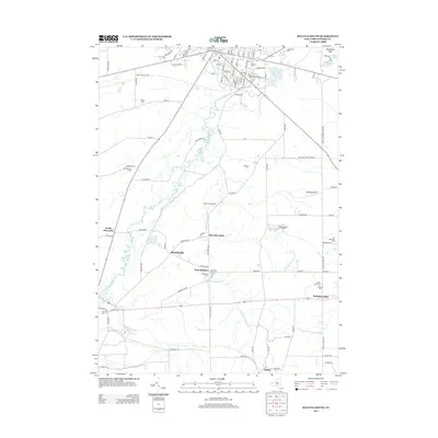
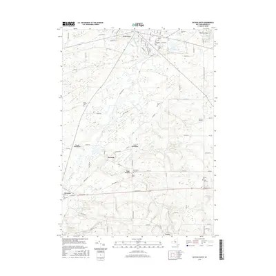
 2023 Stafford2023 Print · USGSAgricultural Genesee County is revealed in the early twenty-first century, showing a landscape defined by crossroads hamlets and family-named landmarks. Researchers can trace local heritage through sites like Suicide Corners, Jug City Cem, and Fargo Road Pioneer Cem.
 - 2023 Map of Wyoming, 2023 Print
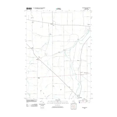
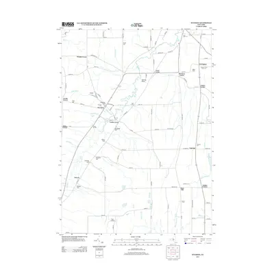
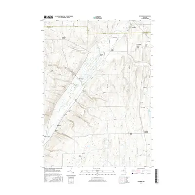
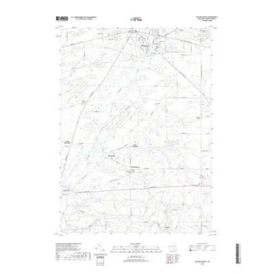
 2023 Wyoming2023 Print · USGSThe rural landscapes of Western New York are captured here as they appear today, spanning the valley from Wyoming to Pavilion. Researchers can trace family history through local landmarks like Covington Pioneer Cem and the distinctive geological features of Wyoming Gulf.
 - 2023 Map of Batavia South, 2023 Print
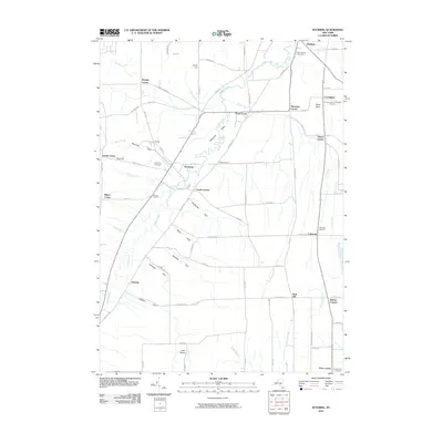
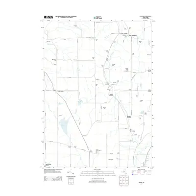
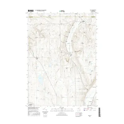
 2023 Batavia South2023 Print · USGSWestern New York's agricultural heartland is documented here in recent years, centered on the historic city of Batavia. Genealogists can locate several burial grounds like Grand View Cem and Maple Lawn Cem, or trace the path of Tonawanda Creek through the rural hamlet of Linden.
 - 2023 Map of Dale, 2023 Print
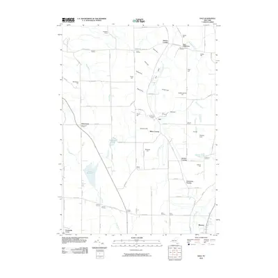
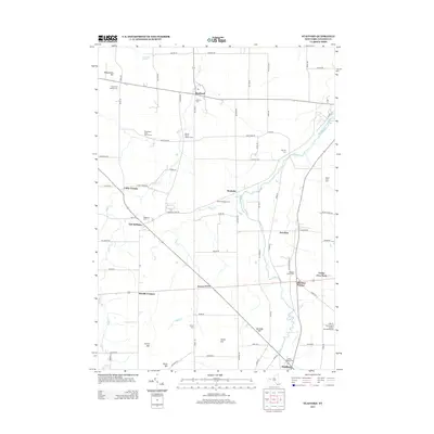
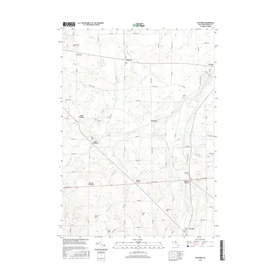
 2023 Dale2023 Print · USGSWyoming County's high ridges and deep gulfs are documented here in the early twenty-first century, preserving the placement of rural crossroads and family burial grounds. Researchers can trace historic sites like West Middlebury Ch and the Dale Pioneer Cem, or follow the Norfolk Southern tracks through Linden.
End of results
Showing maps 1-20 of 20
Top cities near Bethany
- Batavia historical maps
- Sweden historical maps
- LeRoy historical maps
- Batavia historical maps
- Perry historical maps
- Attica historical maps
See more
Top neighborhoods of Bethany
- West Bethany historical maps
- Bethany Center historical maps
- Little Canada historical maps
- East Bethany historical maps
- Linden historical maps
Frequently asked questions
- What are the different types of historical maps available for Bethany?
- What is the oldest map of Bethany?
- Where can I purchase historical maps of Bethany for my home or office?
- Where can I download high-res historical maps of Bethany?
- Are there historical topographic maps available for Bethany?
- Is there historical aerial imagery available for Bethany?
- Where are historical maps of Bethany sourced from?