Old Maps of Elba, New York
Explore 36 old maps of Elba, spanning from 1897 to today. These high-resolution historic maps reveal how streets, neighborhoods, landmarks, and natural features evolved over time — perfect for genealogy, metal detecting, research, and local history exploration.
What you can do with these maps:
- See how Elba changed over time: Compare historical maps to modern-day views to trace roads, homesites, rail lines & more.
- View detailed metadata: Each map includes creators, publishers, year, scale, and archive source.
- Overlay maps with satellite & LiDAR: Visualize the past alongside modern tools to explore terrain & human change.
- Trusted historical sources: Maps sourced from the USGS, Library of Congress, and other archives.
- Access maps your way: View online, download high-res files, or order prints for personal or research use.
Start exploring old maps of Elba to uncover forgotten places, hidden landmarks, and the deep history beneath your feet.
Elba, NY maps
(36)- 1897 Map of Albion
 1897 Albion1897 Print · USGSWestern New York at the close of the nineteenth century is defined by its busy transit corridors and rural crossroads. Researchers can trace ancestral farmsteads and old trade routes near the Erie Canal, Oak Orchard Swamp, and Rich's Corners.7 unique versions available
 - 1944 Map of Holley
 1944 Holley1944 Print · USGSOrleans and Genesee counties during the mid-forties showcase a landscape of canal-side industry and rural school districts. Genealogists can locate family-named landmarks and schools including School No 12 and Maplewood Cemetery.
 - 1944 Map of Byron
 1944 Byron1944 Print · USGSGenesee County's rural landscape at the height of the Second World War was a thriving network of rail-side hamlets and small school districts. Genealogists and local historians can trace family roots through labeled sites like School No 2, the village of South Byron, and the Bergen Swamp Wild-Life Sanctuary.
 - 1944 Map of Albion
 1944 Albion1944 Print · USGSOrleans County during the mid-1940s centers on the vital Erie Canal corridor and the village of Albion. Genealogists and historians can trace the locations of numerous district schools, the Orleans County Hospital, and family-named corners like Richs Corners.
 - 1950 Map of Holley, 1952 Print
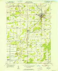 1950 Holley1952 Print · USGSOrleans County is captured at mid-century, showcasing the enduring influence of the Erie Canal and rail lines on local settlement. Genealogists and researchers can locate several rural landmarks including Pioneer Cem, Robinson Hill Sch, and the hamlet of Fancher.3 unique versions available
 - 1950 Map of Albion, 1956 Print
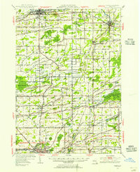 1950 Albion1956 Print · USGSOrleans and Genesee counties sit at a fascinating crossroads in the early fifties as new highway systems began to parallel the historic water and rail routes. Researchers can trace the heritage of local hamlets like South Barre and North Bergen, or locate landmarks like the State Training School for Girls and Mt Albion Cem.2 unique versions available
 - 1950 Map of Albion, 1965 Print
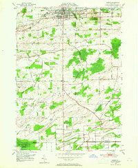 1950 Albion1965 Print · USGSOrleans County is centered on the village of Albion in the early 1950s, showing a landscape defined by the historic Erie Canal and agricultural crossroads. Researchers can trace local heritage through sites like the State Training School for Girls, Barre Center, and Mt Albion Cem.3 unique versions available
 - 1950 Map of Byron, 1969 Print
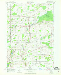 1950 Byron1969 Print · USGSMid-century Genesee County comes alive through this 1950 survey, showcasing the vital rail corridors and rural hamlets of the Byron region. Family historians can locate several burial grounds, including Sodom Cem and Walkers Cem, while tracing the paths of the New York Central Railroad and Lehigh Valley Railroad.3 unique versions available
 - 1950 Map of Batavia North, 1970 Print
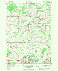 1950 Batavia North1970 Print · USGSGenesee County at mid-century centers on the industrial and institutional expansion of Batavia. Researchers can trace the legacy of local landmarks like the State School for the Blind, the Batavia Downs track, and rural hamlets such as East Elba and Langton Corners.2 unique versions available
 - 1951 Map of Batavia North
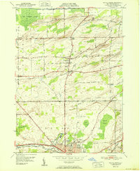 1951 Batavia North1951 Print · USGSGenesee County's northern corridor is captured here in the early fifties as Batavia's urban reach meets the surrounding swamplands and muck farms. Genealogists and local historians can trace family roots through Gardner Cem, the Veterans Hospital, and small hamlets like East Elba and Daws.
 - 1952 Map of Albion
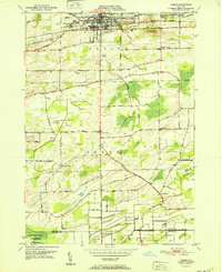 1952 Albion1952 Print · USGSOrleans County is captured in the early fifties, showing the historic Erie Canal and New York Central corridor as it shaped local industry. Genealogists can trace family names at Richs Corners or locate graves at Mt Albion Cem and Tanner Cem.
 - 1952 Map of Byron
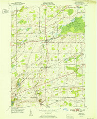 1952 Byron1952 Print · USGSThe rural landscape of Genesee County in the early fifties shows a thriving rail-and-road network connecting local settlements. Genealogists and historians can locate numerous family-named landmarks and burial grounds, such as Sodom Cem, Morganville, and the Airway Beacon near the railroad tracks.
 - 1952 Map of Toronto, 1954 Print
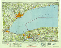 1952 Toronto1954 Print · USGSLake Ontario and the international border define this mid-century landscape of rapid industrial and suburban growth. Researchers can trace the vital shipping and rail corridors of the era, from the Welland Canal to the New York Central Railroad.
 - 1962 Map of Toronto, 1982 Print
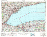 1962 Toronto1982 Print · USGSThe Golden Horseshoe and the Niagara Frontier meet in this early 1960s study of a growing international border region. Trace the path of the Welland Canal and locate land marks like the Scarborough Bluffs and Tuscarora Indian Reservation.
 - 1965 Map of Toronto
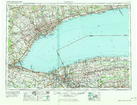 1965 Toronto1965 Print · USGSThe Golden Horseshoe and Niagara Frontier are shown in detail during the early sixties, highlighting the international shipping and transit networks. Trace the path of the Erie Canal, the Welland Canal, and rail lines connecting Toronto and Niagara Falls.2 unique versions available
 - 1984 Map of Lockport, 1985 Print
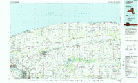 1984 Lockport1985 Print · USGSWestern New York in the 1980s shows a landscape of lakefront parks, industrial rail corridors, and vast protected wetlands. Genealogists and historians can trace the legacy of local families through sites like Acacia Park Cem or the Tuscarora Indian Reservation.2 unique versions available
 - 2010 Map of Albion, 2010 Print
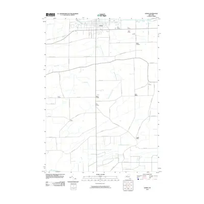 2010 Albion2010 Print · USGSOrleans County at the turn of the millennium remains defined by its historic waterway and rural hamlets. Genealogists and local historians can trace family roots through numerous burial sites like Mount Albion Cemetery and small crossroads settlements such as Barre Center and Richs Corners.
 - 2010 Map of Holley, 2010 Print
 2010 Holley2010 Print · USGSOrleans County at the start of the 2010s reveals a patchwork of small-town centers and traditional family farmsteads. Genealogists can trace deep local roots through numerous historic sites like Pioneer Cemetery, the Robinson Burying Ground, and the village of Holley.
 - 2010 Map of Batavia North, 2010 Print
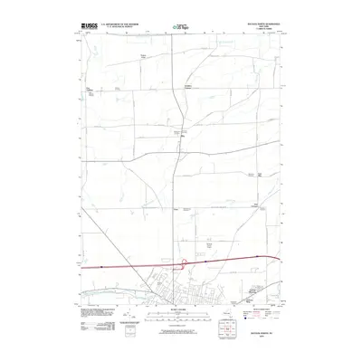 2010 Batavia North2010 Print · USGSNorth of the city in the early twenty-first century, this area shows a landscape of historic crossroads hamlets and family-named landmarks. Genealogists can trace early local history through numerous rural burial sites like East Oakfield Cemetery and Newkirk Cemetery.
 - 2010 Map of Byron, 2010 Print
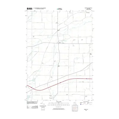 2010 Byron2010 Print · USGSGenesee County at the start of the 21st century reveals a landscape shaped by rural hamlets and family-named hills. Genealogists can trace deep local roots across numerous sites like Sodom Cemetery, Morganville, and Pumpkin Hill.
 - 2013 Map of Albion, 2013 Print
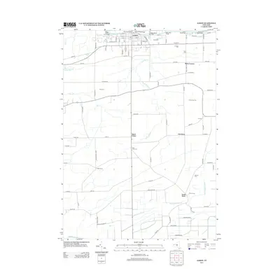 2013 Albion2013 Print · USGSOrleans County agricultural life and canal-side settlement are captured here in the early twenty-first century. Genealogists can trace family names and locations across several burial grounds like Mt Albion Cem and hamlets such as Richs Corners and Barre Center.
 - 2013 Map of Holley, 2013 Print
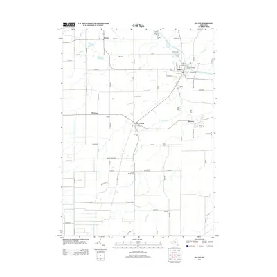 2013 Holley2013 Print · USGSOrleans County agricultural lands and the historic canal corridor are captured here in the early 2010s. Researchers can locate numerous local burial sites like Hillside Cem and Glidden Burying Ground, alongside landmarks like Erie Canal Bridge 8 and Honest Hill.
 - 2013 Map of Batavia North, 2013 Print
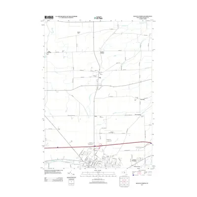 2013 Batavia North2013 Print · USGSNorth of Batavia in the early twenty-first century, a landscape of fertile farmland is dotted with historic hamlets and numerous family burial grounds. Researchers can trace local heritage through sites like Pine Hill Cemetery, Daws, and Genesee Community College.
 - 2013 Map of Byron, 2013 Print
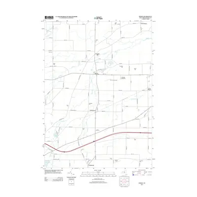 2013 Byron2013 Print · USGSGenesee County at the start of the 2010s shows a landscape of deep-rooted farmsteads and rural hamlets. Researchers can locate numerous historic burial sites like Sodom Cem and Morganville Cem, or trace the path of Black Cr through Byron.
 - 2016 Map of Batavia North, 2016 Print
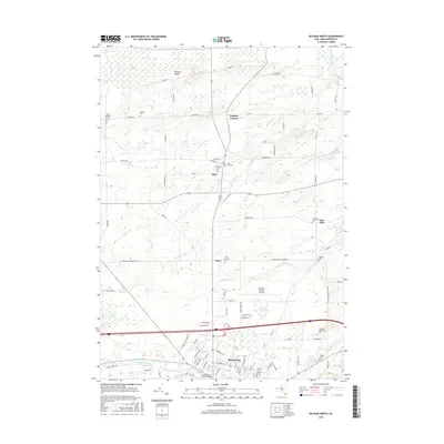 2016 Batavia North2016 Print · USGSNorth of Batavia in the mid-2010s, this area shows a landscape of established townships and extensive wetlands. Genealogists can locate several historic burial grounds like Maplelawn Cem and Newkirk Cem alongside landmarks like Genesee Community Coll.
Showing maps 1-25 of 36
Top cities near Elba
- Batavia historical maps
- Sweden historical maps
- Hamlin historical maps
- LeRoy historical maps
- Albion historical maps
- Brockport historical maps
See more
Top neighborhoods of Elba
Frequently asked questions
- What are the different types of historical maps available for Elba?
- What is the oldest map of Elba?
- Where can I purchase historical maps of Elba for my home or office?
- Where can I download high-res historical maps of Elba?
- Are there historical topographic maps available for Elba?
- Is there historical aerial imagery available for Elba?
- Where are historical maps of Elba sourced from?