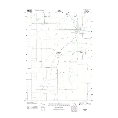
2013 Map of Holley
USGS Topo · Published 2013About this map
The Erie Canal cuts through this Western New York landscape, defining the northern corridor of the region near Holley. This 21st-century record shows a persistent agricultural and cemetery-rich heritage, with numerous family and community interments such as Glidden Burying Ground, Robinson Burying Ground, and Root Cem scattered across the township. The village of Holley remains the primary hub, where the canal's path is marked by infrastructure like Erie Canal Bridge 8 and the East Avenue Gulf Road Bridge.
Find a feature on this map
79 named features on this map. Tap any name to fly to it.
Don’t see what you’re looking for? This feature index may not catch every label — zoom into the map to look around manually.
Map Details
Editions of this 2013 Holley Map
This is the sole edition of this map. No revisions or reprints were ever made.
Other maps of this area

1897 · Albion
USGS Topo · 1:62,500

1897 · Oak Orchard
USGS Topo · 1:62,500

1899 · Hamlin
USGS Topo · 1:62,500

1899 · Brockport
USGS Topo · 1:62,500

1932 · Hamlin
USGS Topo · 1:24,000

1934 · Brockport
USGS Topo · 1:24,000

1935 · Churchville
USGS Topo · 1:24,000

1935 · Hamlin
USGS Topo · 1:24,000

1944 · Churchville
USGS Topo · 1:31,680

1944 · Holley
USGS Topo · 1:31,680