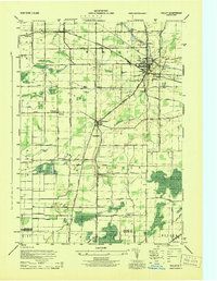
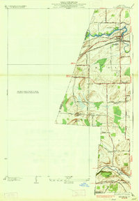
1944 Map of Holley
USGS Topo · Published 1944About this map
The Erie Canal cuts through the northern landscape of Orleans County, defining the early industrial character of Holley and Fancher. This mid-century survey captures the region's transition into a mature agricultural and transit hub, where the canal works alongside the New York Central railroad. A specialized infrastructure is visible, including a Guard Gate and the Niagara Hudson System power lines that stretch across the rural landscape.
Find a feature on this map
46 named features on this map. Tap any name to fly to it.
Don’t see what you’re looking for? This feature index may not catch every label — zoom into the map to look around manually.
Map Details
Editions of this 1944 Holley Map
This is the sole edition of this map. No revisions or reprints were ever made.
Other maps of this area

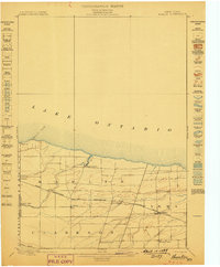
1897 · Albion
USGS Topo · 1:62,500
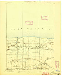
1897 · Oak Orchard
USGS Topo · 1:62,500
1899 · Hamlin
USGS Topo · 1:62,500

1899 · Brockport
USGS Topo · 1:62,500

1932 · Hamlin
USGS Topo · 1:24,000
1934 · Brockport
USGS Topo · 1:24,000
1935 · Churchville
USGS Topo · 1:24,000
1935 · Hamlin
USGS Topo · 1:24,000
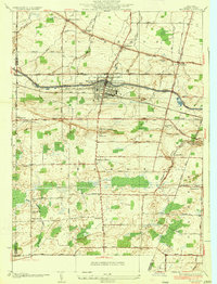
1944 · Churchville
USGS Topo · 1:31,680
1944 · Byron
USGS Topo · 1:31,680