2000s (21st Century) Maps of Jefferson Heights, Catskill
Explore 15 historic maps of Jefferson Heights from the 2000s (21st Century). These maps offer a rare glimpse into what life looked like during the 2000s — showing old roads, neighborhoods, homes, and landmarks that have changed or disappeared over time.
Whether you're researching your family's past, planning a metal detecting trip, or studying how Jefferson Heights's landscape evolved across the 2000s, these high-resolution maps are a powerful tool for exploring the history of this region.
- Focus on a specific era: All maps on this page are from the 2000s, giving you a focused view of this time period.
- See what’s changed: Compare century-old streets, trails, and buildings to today's modern landscape using overlays and satellite layers.
- Research with precision: Use these maps for genealogy, historical research, land use analysis, or educational projects.
- View, download, or print: Maps are fully viewable online in high resolution, and can be downloaded or printed for your own records.
Start exploring Jefferson Heights's history through authentic maps from the 2000s. This is your window into the past.
Jefferson Heights, Catskill maps
(15)- 2010 Map of Hudson South, 2010 Print
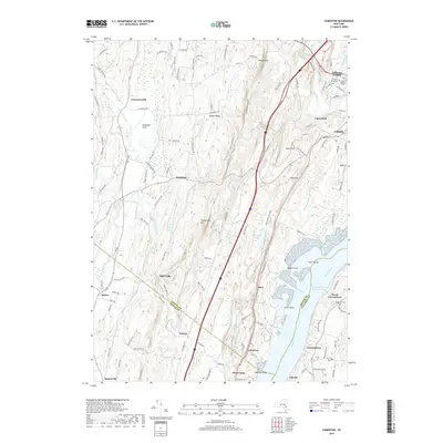
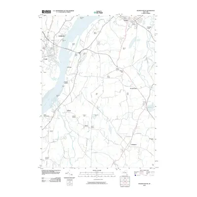 2010 Hudson South2010 Print · USGSCovers Jefferson Heights, including Catskill, Claverack, and other nearby areas
 - 2010 Map of Cementon, 2010 Print
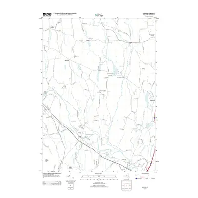
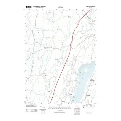 2010 Cementon2010 Print · USGSCovers Jefferson Heights, including Saugerties, Catskill, and other nearby areas
 - 2010 Map of Leeds, 2010 Print
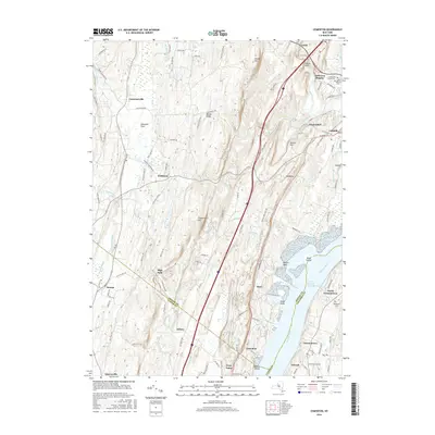
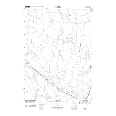 2010 Leeds2010 Print · USGSCovers Jefferson Heights, including Catskill, Coxsackie, and other nearby areas
 - 2013 Map of Cementon, 2013 Print
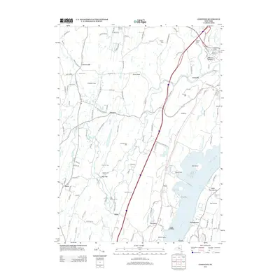 2013 Cementon2013 Print · USGSCovers Jefferson Heights, including Saugerties, Catskill, and other nearby areas
 - 2013 Map of Leeds, 2013 Print
 2013 Leeds2013 Print · USGSCovers Jefferson Heights, including Catskill, Coxsackie, and other nearby areas
 - 2013 Map of Hudson South, 2013 Print
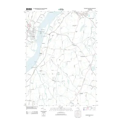 2013 Hudson South2013 Print · USGSCovers Jefferson Heights, including Catskill, Claverack, and other nearby areas
 - 2016 Map of Cementon, 2016 Print
 2016 Cementon2016 Print · USGSCovers Jefferson Heights, including Saugerties, Catskill, and other nearby areas
 - 2016 Map of Hudson South, 2016 Print
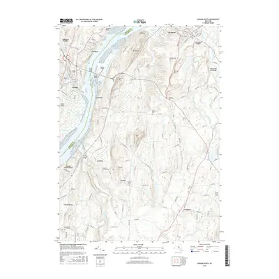 2016 Hudson South2016 Print · USGSCovers Jefferson Heights, including Catskill, Claverack, and other nearby areas
 - 2016 Map of Leeds, 2016 Print
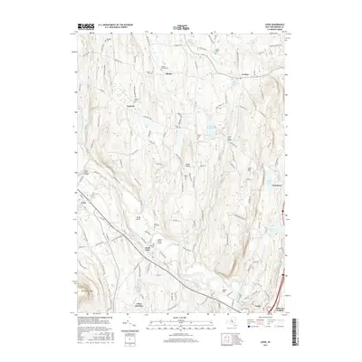 2016 Leeds2016 Print · USGSCovers Jefferson Heights, including Catskill, Coxsackie, and other nearby areas
 - 2019 Map of Hudson South, 2019 Print
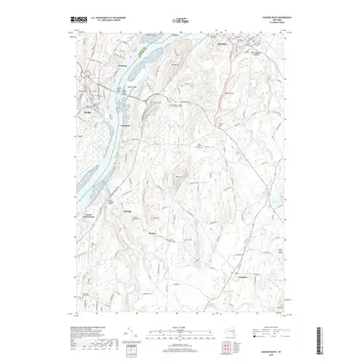 2019 Hudson South2019 Print · USGSCovers Jefferson Heights, including Catskill, Claverack, and other nearby areas
 - 2019 Map of Cementon, 2019 Print
 2019 Cementon2019 Print · USGSCovers Jefferson Heights, including Saugerties, Catskill, and other nearby areas
 - 2019 Map of Leeds, 2019 Print
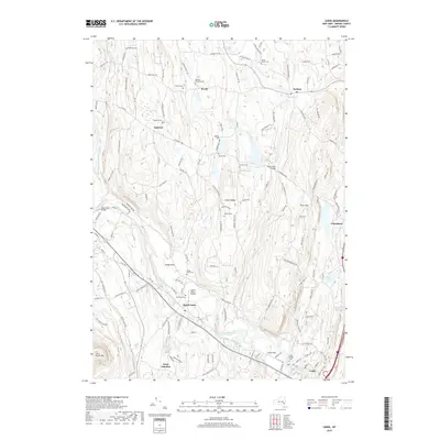 2019 Leeds2019 Print · USGSCovers Jefferson Heights, including Catskill, Coxsackie, and other nearby areas
 - 2023 Map of Cementon, 2023 Print
 2023 Cementon2023 Print · USGSThe Hudson River valley near the Greene and Columbia county lines comes alive in this detailed recent survey. Genealogists and local historians can trace family plots at Jefferson Rural Cem or explore the riverfront geography of Cementon and Inbocht Bay.
 - 2023 Map of Hudson South, 2023 Print
 2023 Hudson South2023 Print · USGSThe Hudson River corridor south of the city of Hudson is captured here in 2023, showing the modern landscape of Greene and Columbia counties. Researchers can trace ancestral sites at Livingston Reformed Cem and Mount Pleasant Cem or locate the Greene County Courthouse in Catskill.
 - 2023 Map of Leeds, 2023 Print
 2023 Leeds2023 Print · USGSGreene County hamlets and family-named cemeteries are charted in this modern survey of the Catskill foothills. Genealogists can trace local heritage through Leeds Village Cem and Blackman Cem, while geographers follow the winding path of Catskill Creek.
End of results
Showing maps 1-15 of 15
Top cities near Jefferson Heights
- Saugerties historical maps
- Ulster historical maps
- Catskill historical maps
- Red Hook historical maps
- Coxsackie historical maps
- Kinderhook historical maps
See more
Frequently asked questions
- What are the different types of historical maps available for Jefferson Heights?
- What is the oldest map of Jefferson Heights?
- Where can I purchase historical maps of Jefferson Heights for my home or office?
- Where can I download high-res historical maps of Jefferson Heights?
- Are there historical topographic maps available for Jefferson Heights?
- Is there historical aerial imagery available for Jefferson Heights?
- Where are historical maps of Jefferson Heights sourced from?